September, 2023
Unparalleled Utah
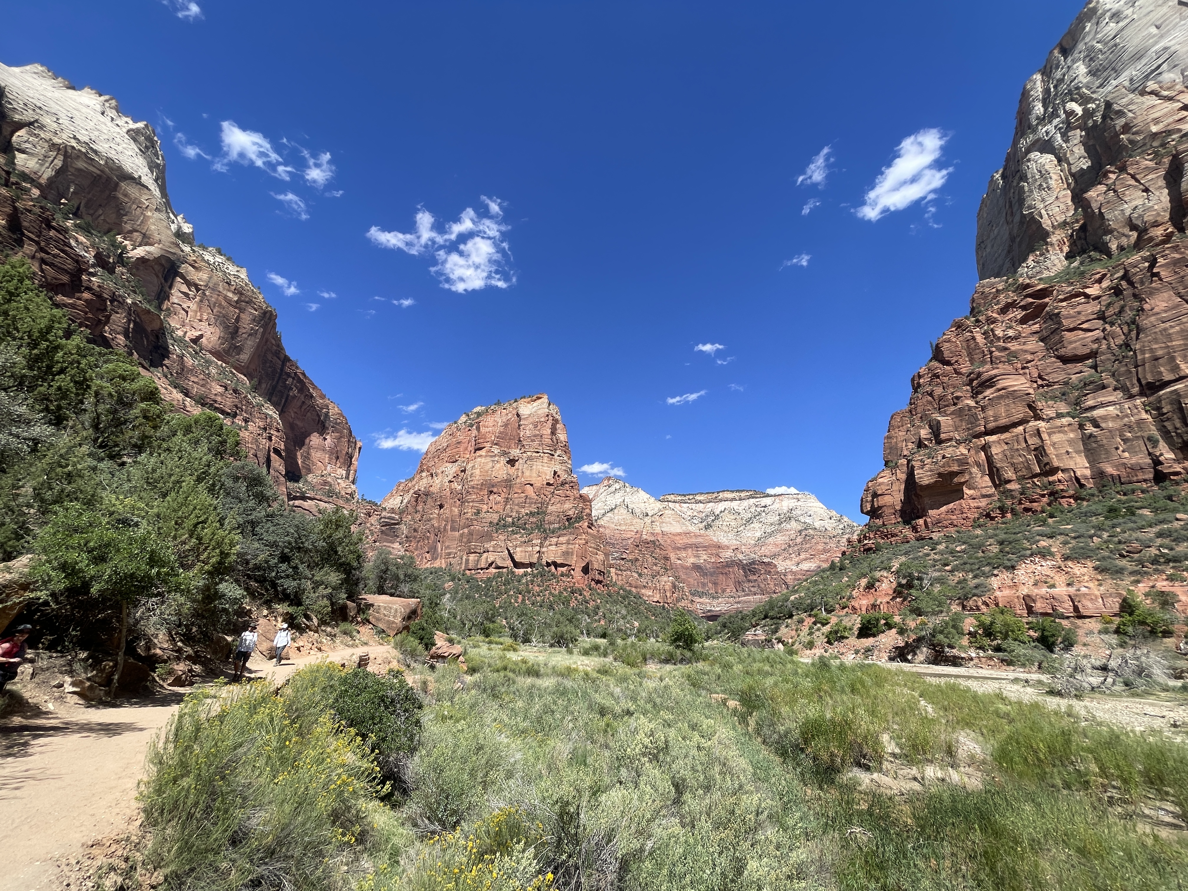
Utah is home to what it lovingly calls The Mighty Five; five of the most iconic National Parks in the US. Zion Canyon at nearly a kilometre high and 24 km long, sits hardly unassumingly in southern Utah’s Zion National Park. Mormon pioneers arrived in the 1850s and were so taken by the place that they named it after the Old Testament’s name for Jerusalem and set up shop farming. How they could focus on their animals and crops amidst this beauty, I can’t imagine.
In 1904 at the St Louis World’s Fair, American artist and writer Frederick Dellenbaugh, showed his paintings of the previous year he spent in Zion. Americans had never seen such a landscape and didn’t believe it was real. The US President established it as Mukuntuweap National Monument in 1909, honouring the Paiute name for the area. In 1918, the government changed its name to Zion because it was easier to spell and pronounce and a year later it was designated a national park.
A hundred years ago, the government struggled to attract visitors to this area and now the struggle is how to manage the throngs of people like us who descend upon the delicate landscape. Zion is a victim of its own success.
Zion National Park
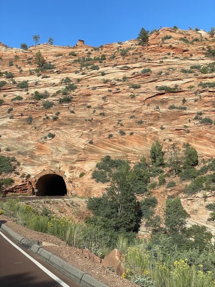
Lying within the natural marvel that is Zion National Park is the engineering marvel of the 1.7km Zion-Mount Carmel Tunnel. Three years in the making, the tunnel pushed engineering boundaries by starting the drilling in the middle. It was built in four sections and when they joined them up, the length of the tunnel connections varied by only two inches. Pretty amazing for 1927 technology!
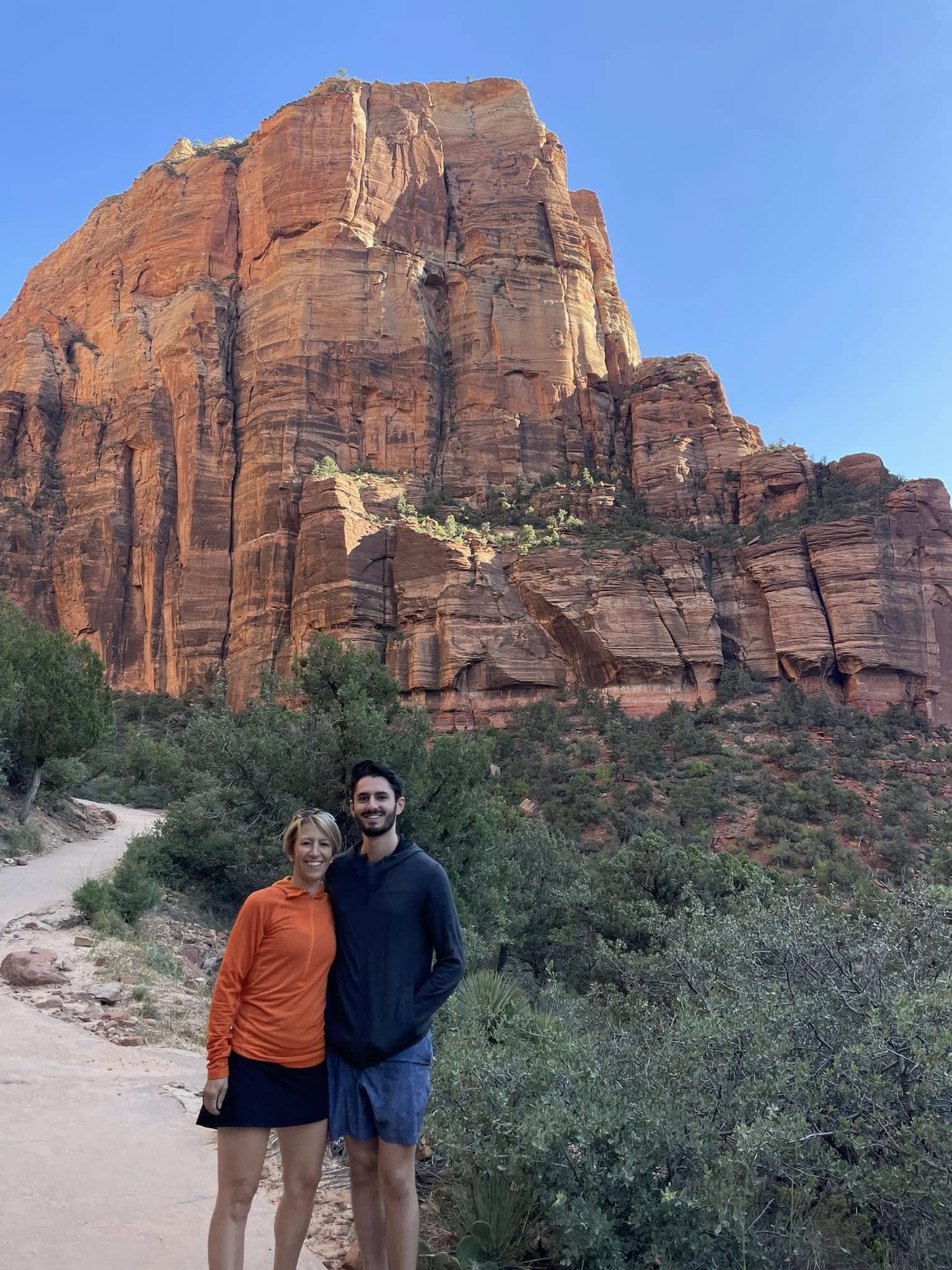
So we start out on our first hike of the day on a trail heading up to Scout Lookout. We are awestruck by the colours, magnitude and beauty of this sandstone landscape. But oh, just wait…it gets more stunning with every turn! And how about my outer layer colour choice!
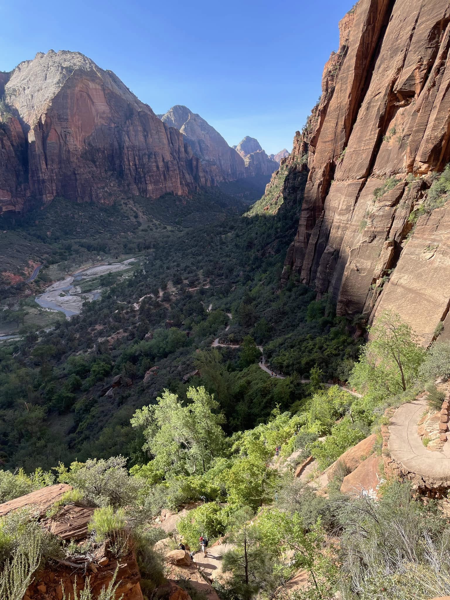
The hiking path snakes above the Virgin River, ultimately taking us to Scout Lookout.
The Virgin River seems small compared to others but it punches well above its weight. Over the centuries, it has sliced through seven layers of sedimentary rock including 2000 feet of solid sandstone. While water insidiously seeps through cracks in our homes' building envelopes and wreaks havoc, here it creates unparalleled beauty.
A million tons of sediment is carried by this river every year, usually through flash floods. As we hiked into upper elevations, we wondered who dumped so much sand up there; sand so fine and soft it rivalled the most beautiful beaches. That would be our hard-working Virgin River!
Here, it's all about water!
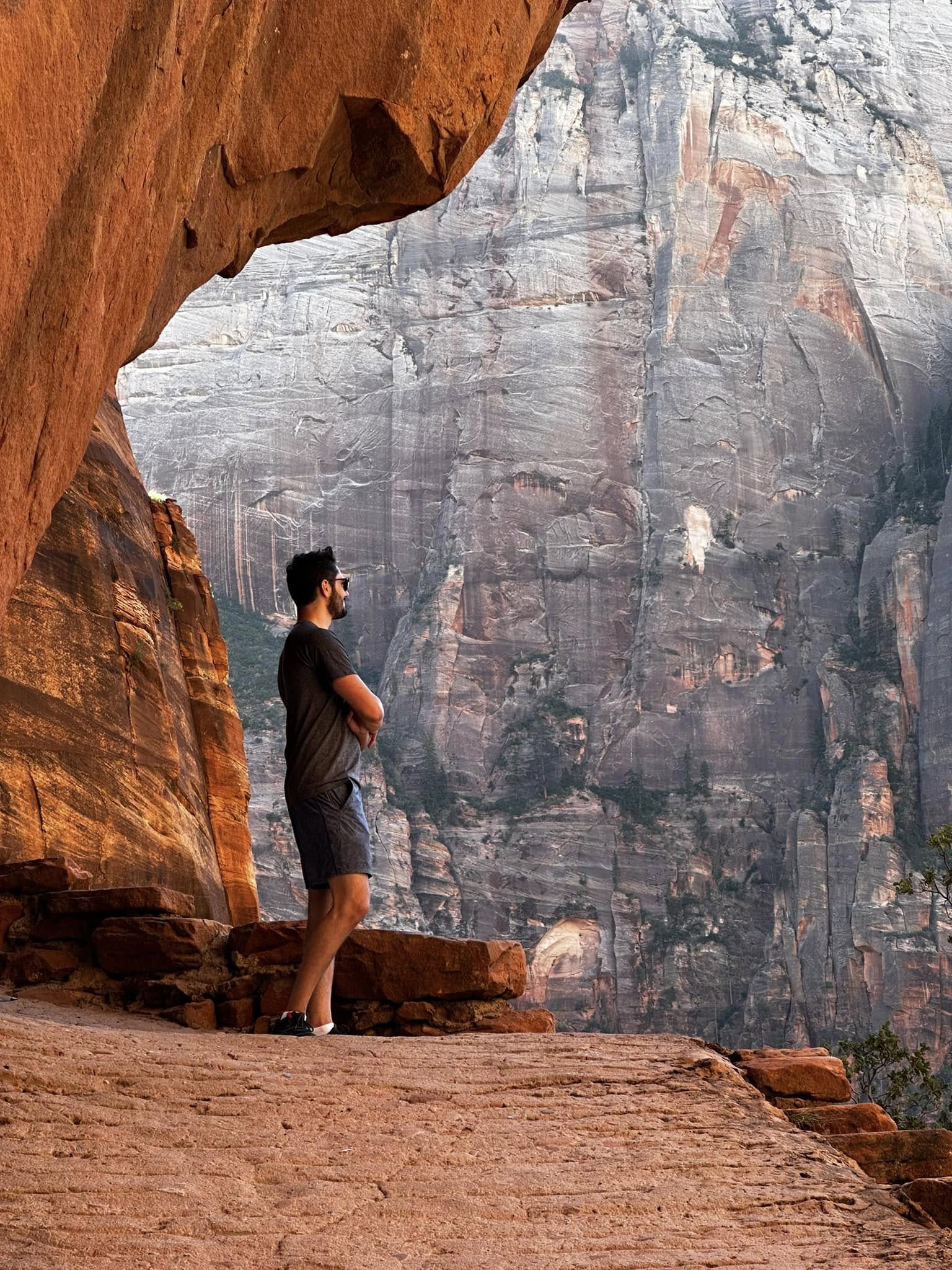
Navajo sandstone towers around us with the colour variation coming from the amount and type of iron oxide. As snow melt, water, ice and wind carve through the stone, curves and shapes form and one day will fall. This one above Alex looks pretty solid!
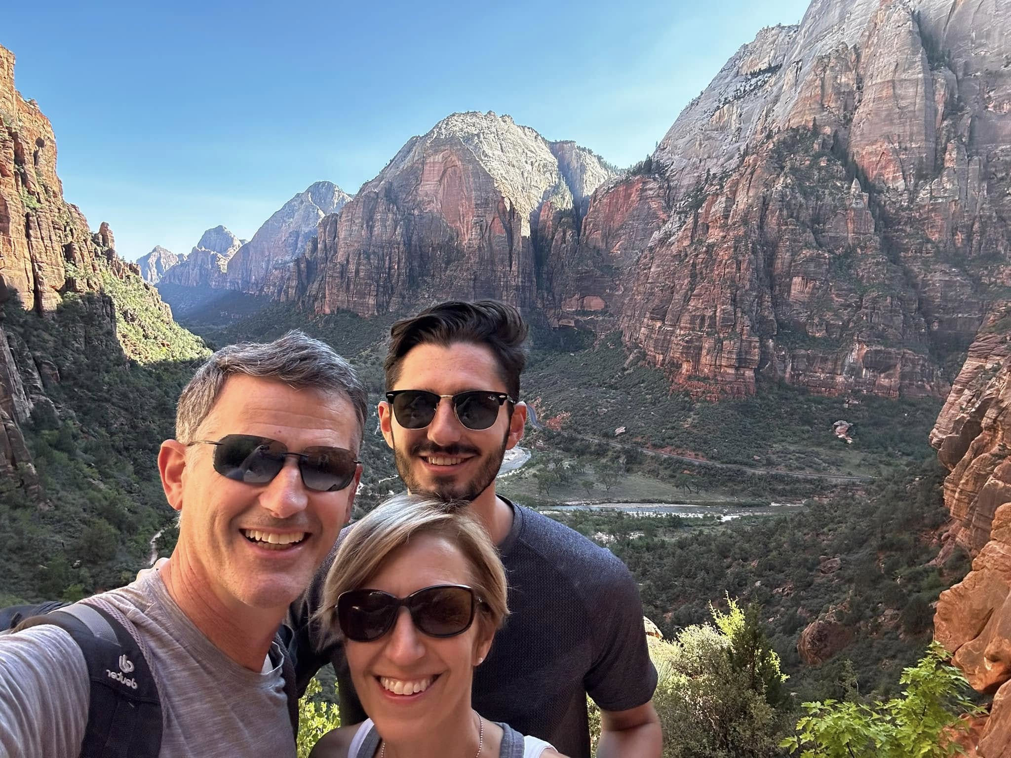
Monolith after monolith after monolith…
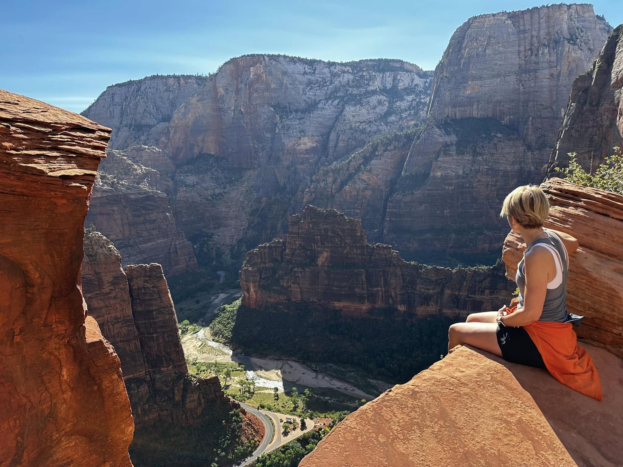
Taking in the view of Angels Landing and confident that I don’t want to climb it!
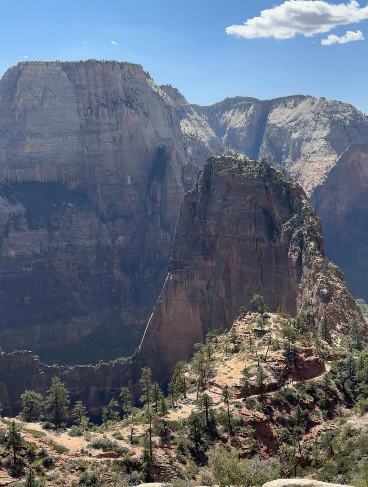
The infamous Angels Landing, named so by Ethelbert Bingham in 1916 when he exclaimed to his friends, “only an angel could land on that!” Certainly not for the faint of heart, this is considered to be one of the most dangerous hikes in the US. A thousand feet above the valley floor and no guard rails…surprising that there have only been 13 deaths in the last 20 years. And not surprising that the unofficial motto of the park is Your Safety is Your Responsibility. Disclaimer right there!
Walter’s Wiggle was the brainchild of Walter Ruesch, Zion National Park’s first superintendent, in 1926. The 21 switchbacks, carved out of solid rock on a sheer cliff, were considered to be another engineering marvel here.
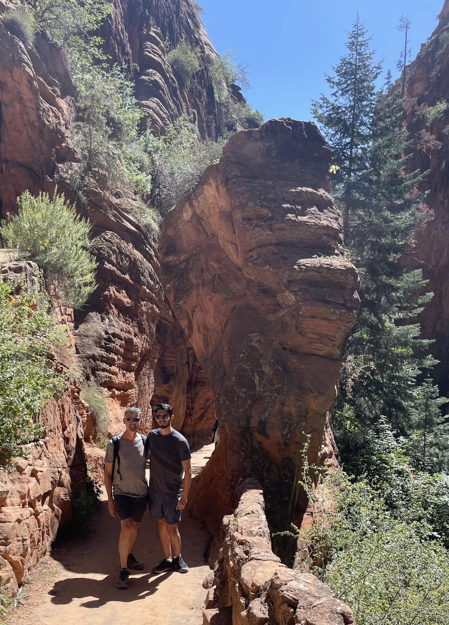
How can you not stop every few minutes to take a photo?
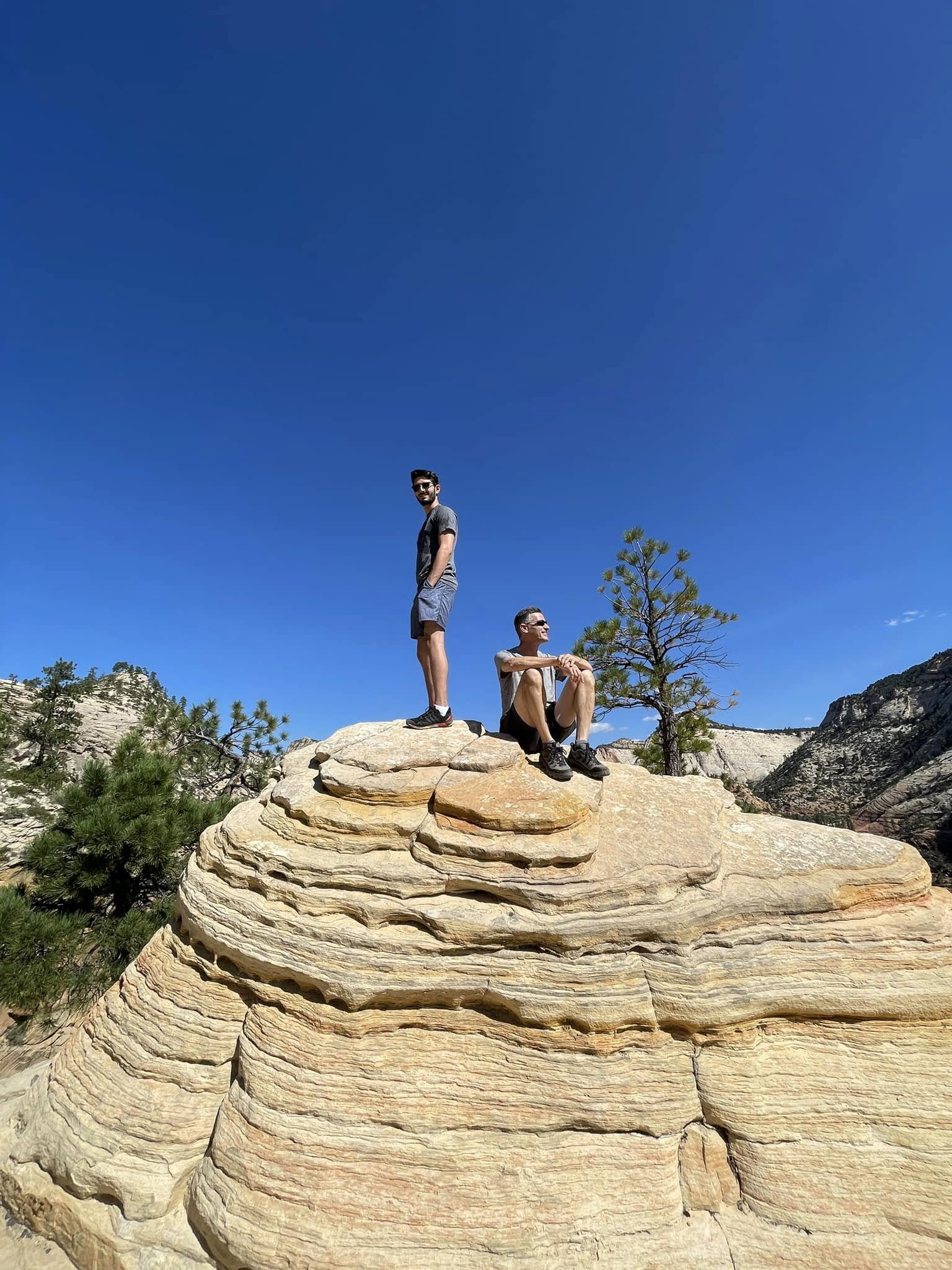
The perfect perch.
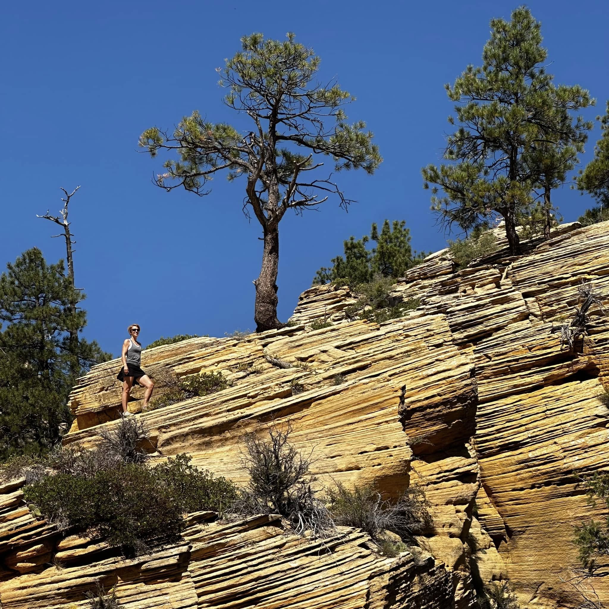
On the way to West Rim trail.
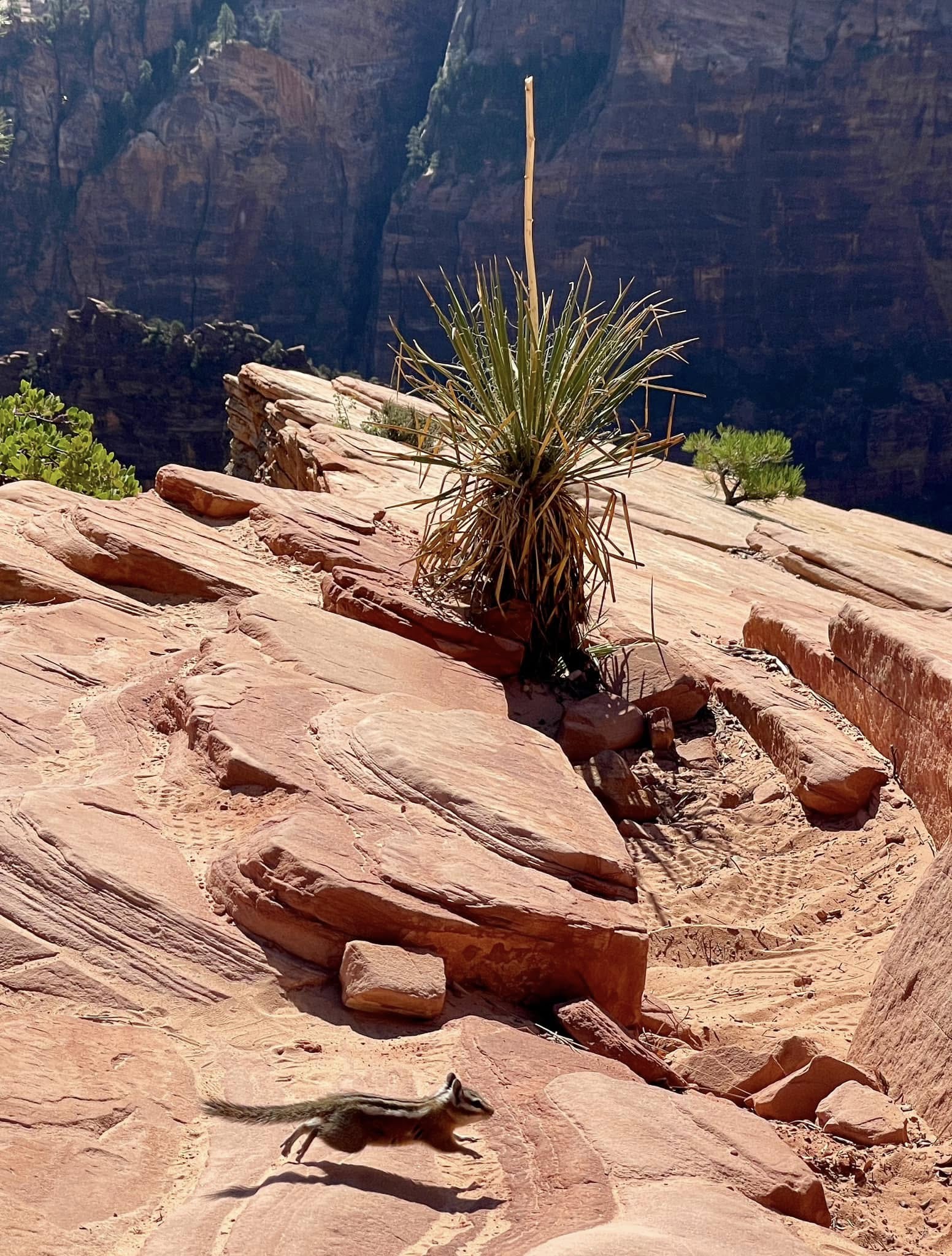
Photobomb!
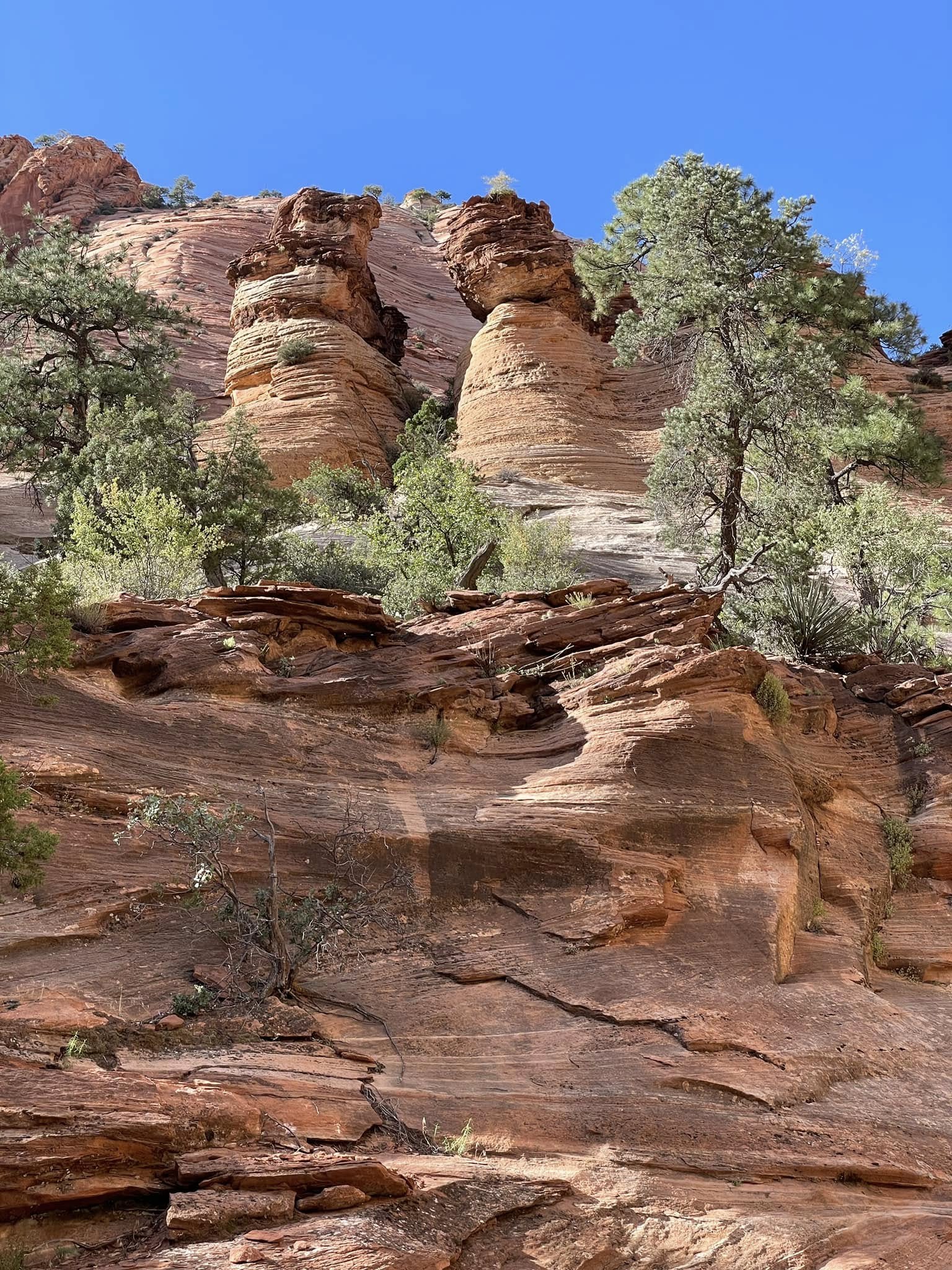
Two friends stopping for a chat.
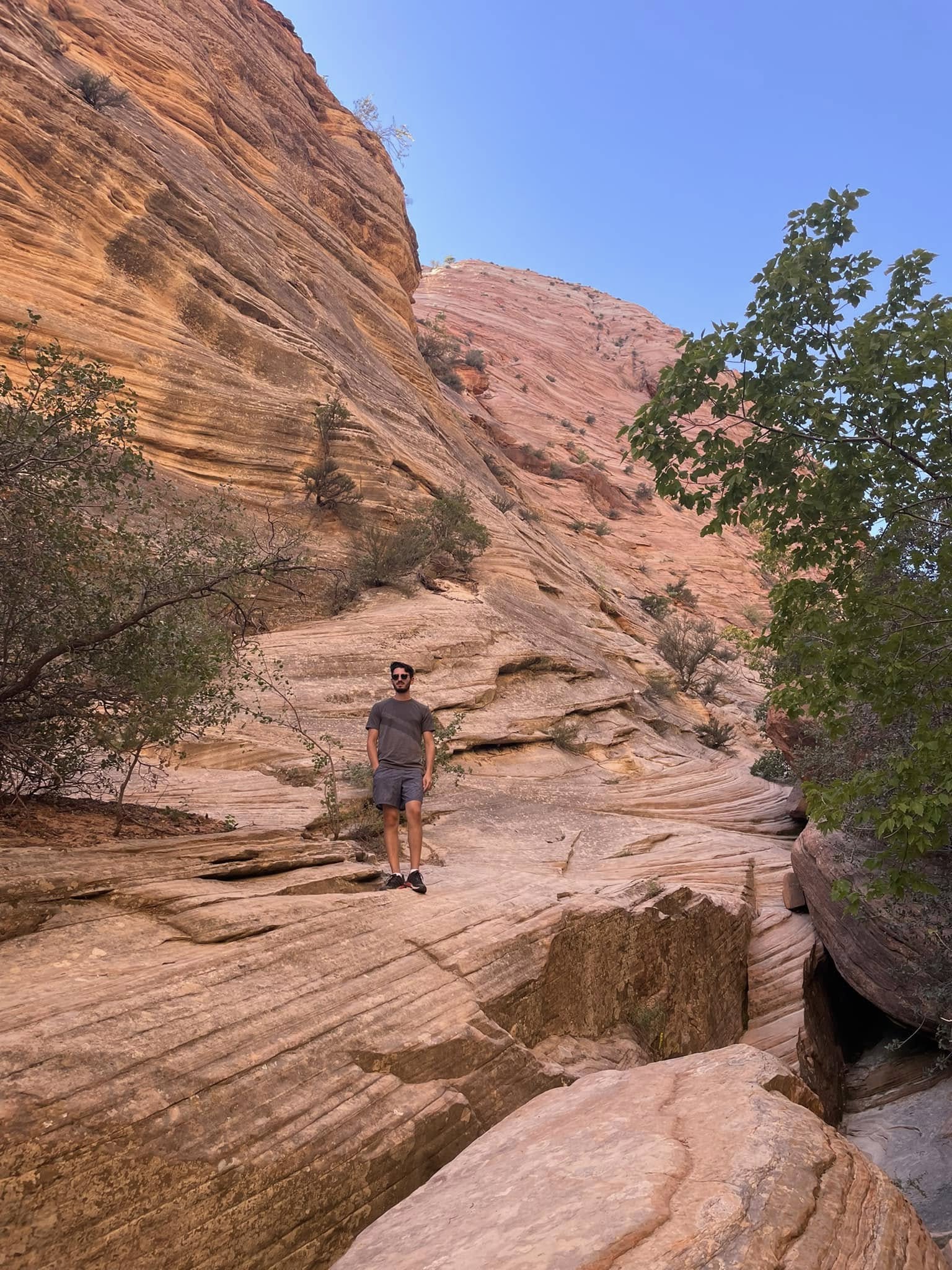
One does feel quite small here.
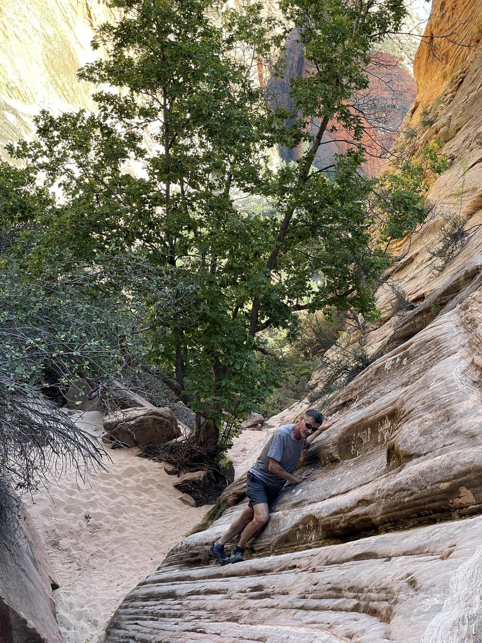
This was a very narrow ledge heading to Shelf Canyon, a deep, shelf-lined slot canyon (hence the name).
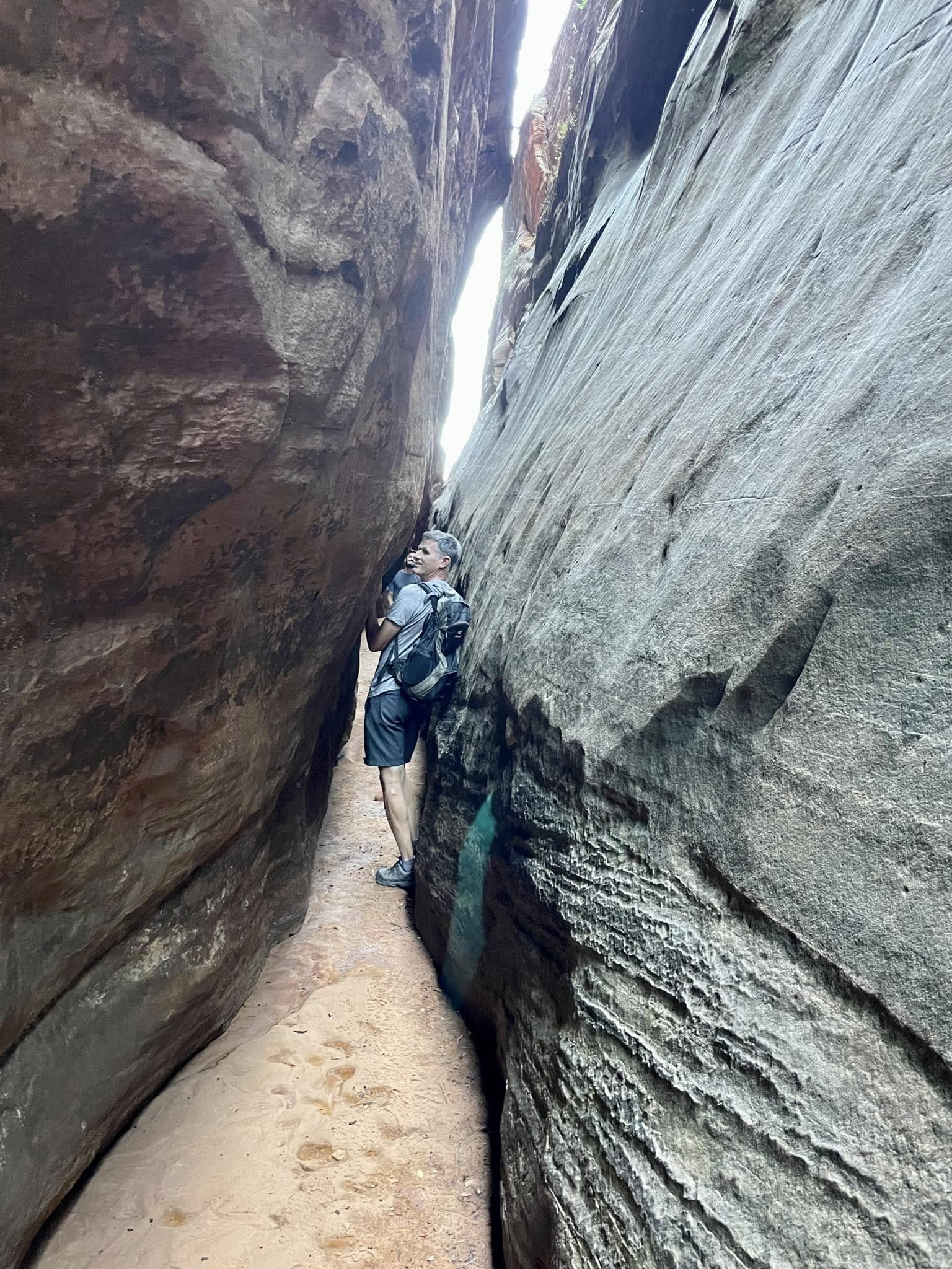
A tight spot.
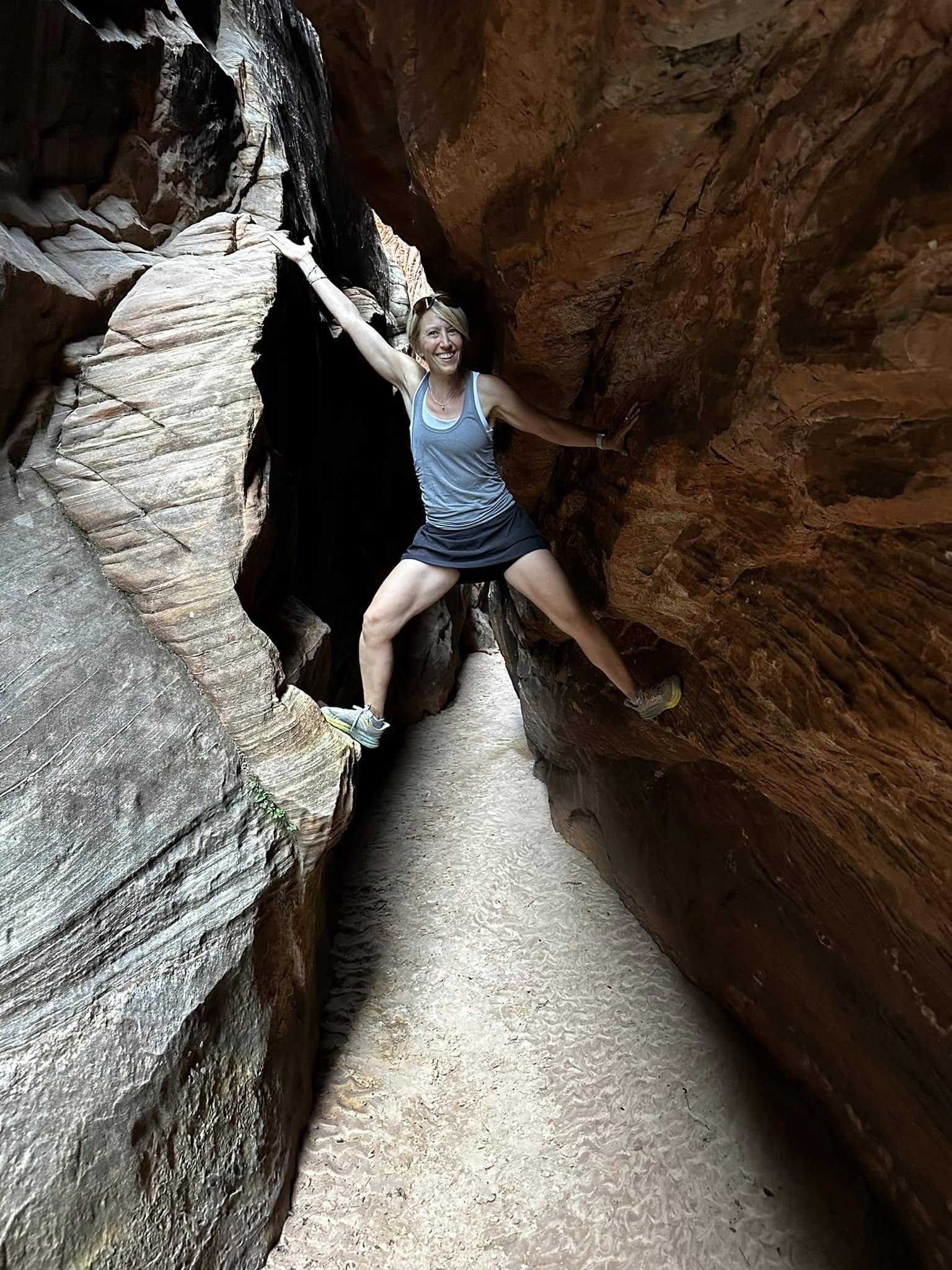
Maybe I should try climbing?
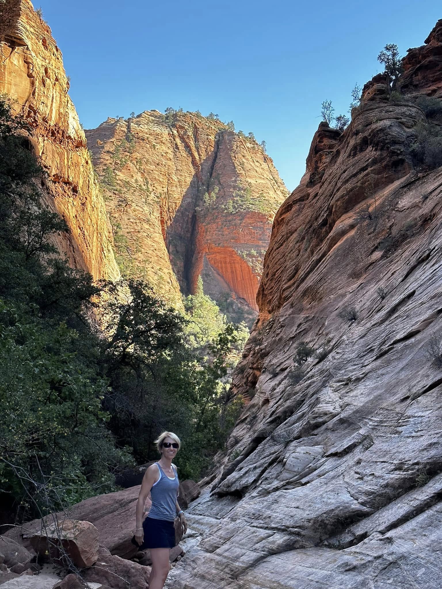
Where is the arrow pointing?
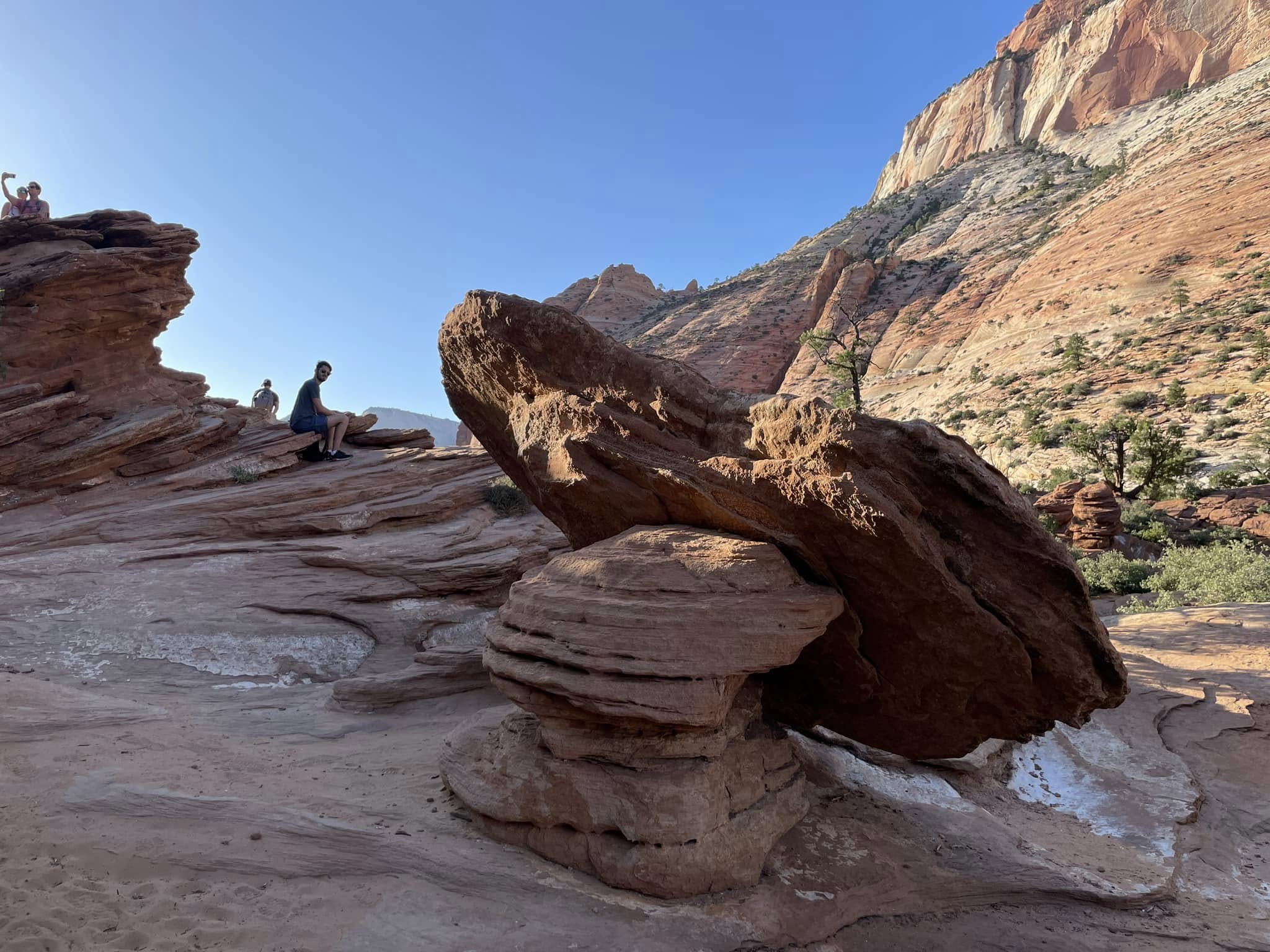
At the top of Canyon Lookout. This looks like a broken cake stand. Was it one piece that broke or did the big flat stone fall from above and land on the little hoodoo?
The Narrows
The Narrows is one of Zion National Park’s most iconic hikes. This is the narrowest section of the Zion Canyon, with sandstone walls 1,500 feet tall towering over the Virgin River as narrow as 20 feet wide in some sections. The spectacularly changing landscape and colours shifting with the sun was remarkable and a real testament to Mother Nature at her finest!
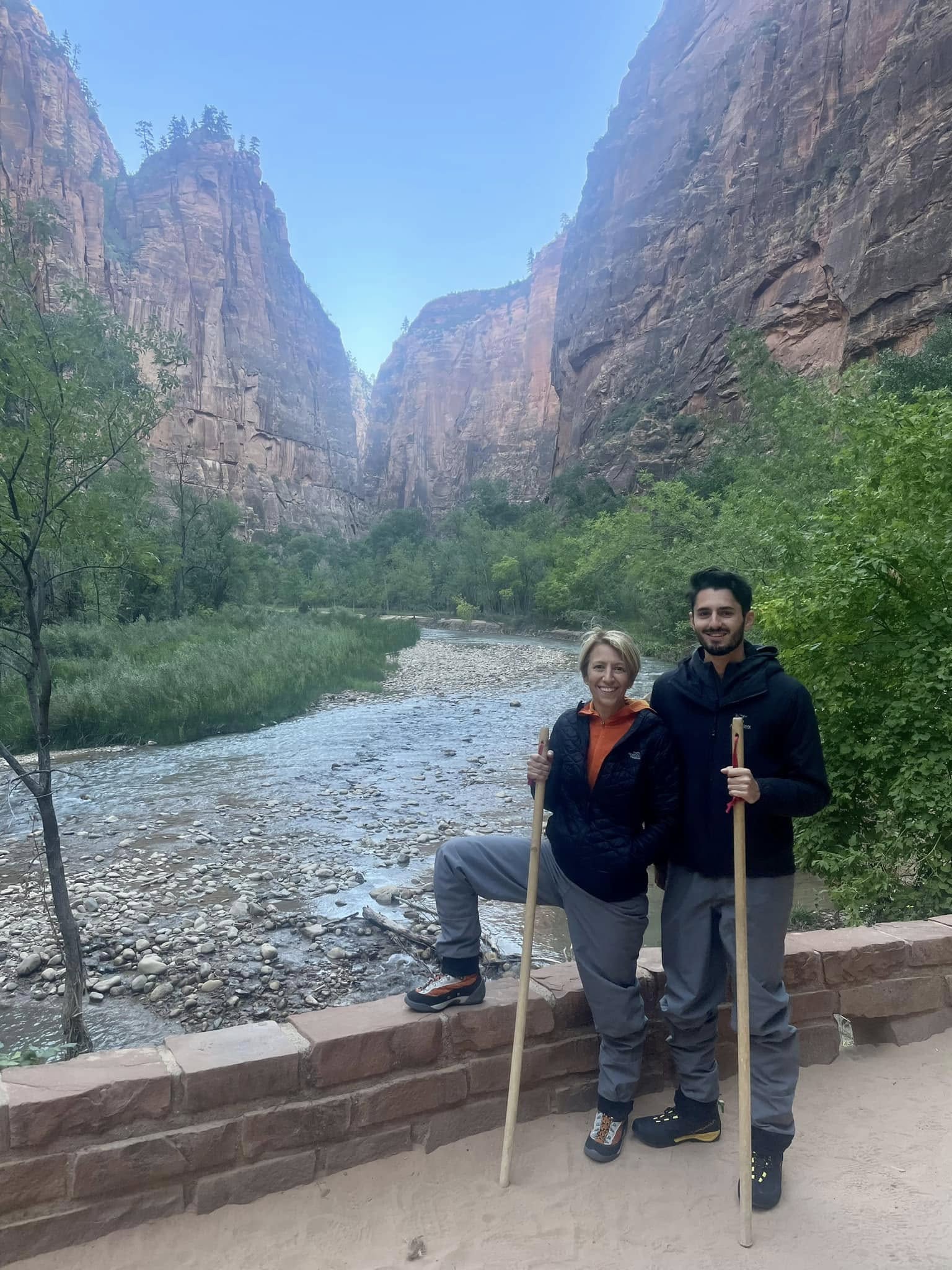
All suited up and ready to go. This is serious business! We are wearing neoprene socks inside special boots, and very fancy, flattering waterproof pants. The outfitter was out of bib pants which go up to the armpits. But that seemed like overkill anyway…
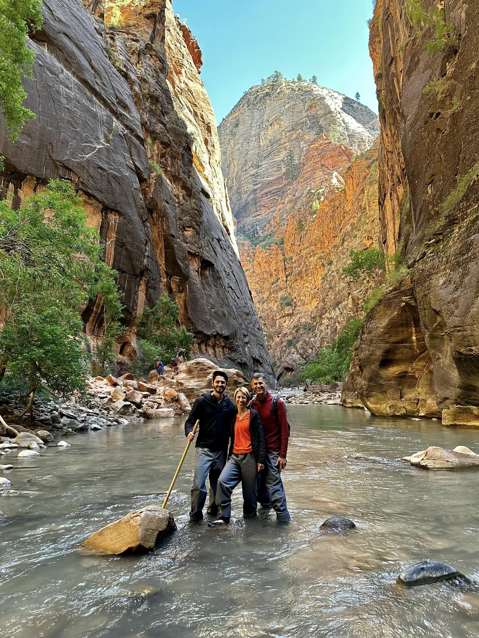
And we are off down The Narrows in our special gear. The water was cold, about 13C, but only calf deep. We felt a bit self-conscious as not many people had waterproof pants. Most were wearing shorts, regular running shoes, even Crocs (mind you, the Crocs were in “sport mode”), flip flops and Birkenstocks. Alex said he was glad they were out of the bib pants or else we would have really stuck out…
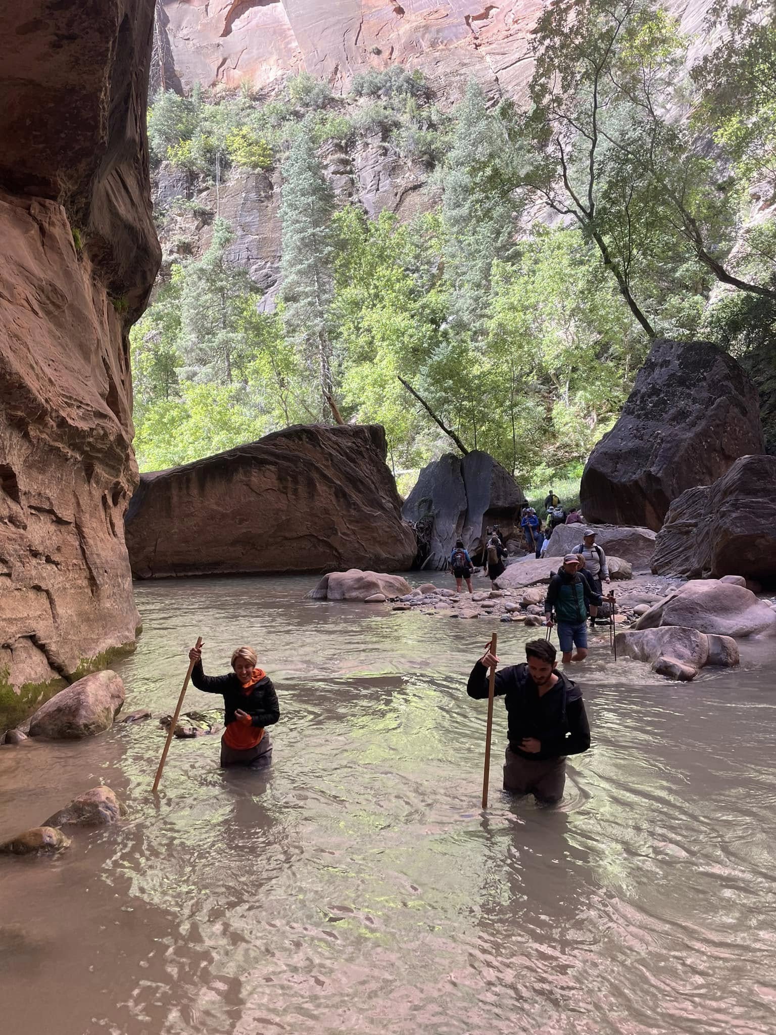
So about those bib pants…Adam and Alex were fine with their waterproof pants hiked up as high as they would go without giving too serious a wedgie. At 8” shorter than them, I was in trouble. About 10 minutes into the hike, the water got deep. I was on my tippy toes but I felt the cold trickle. The water seeped in at chest height and I was wet inside those pants for the rest of the day.
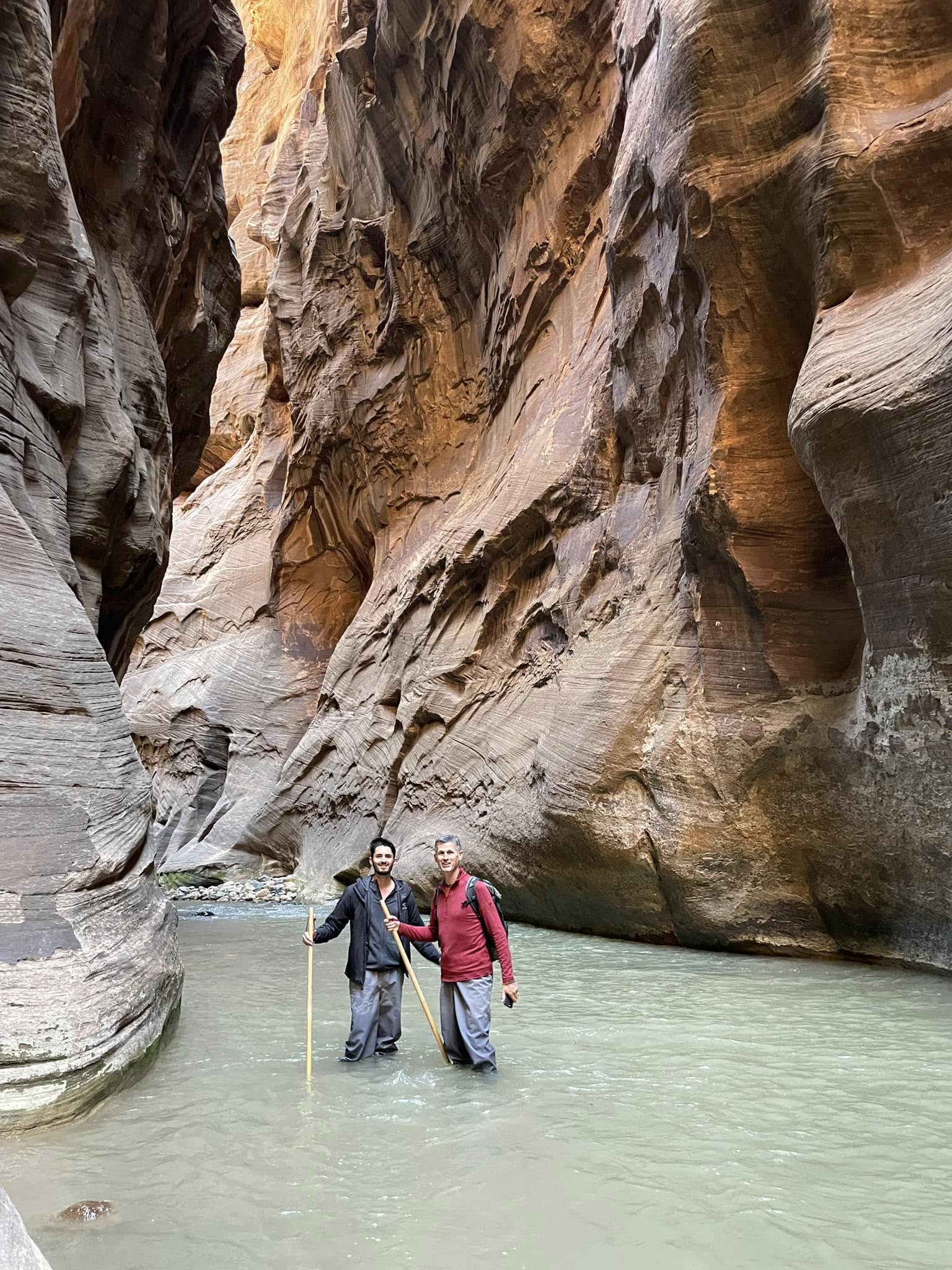
An early departure afforded us moments of solitude in this incredibly varied landscape.
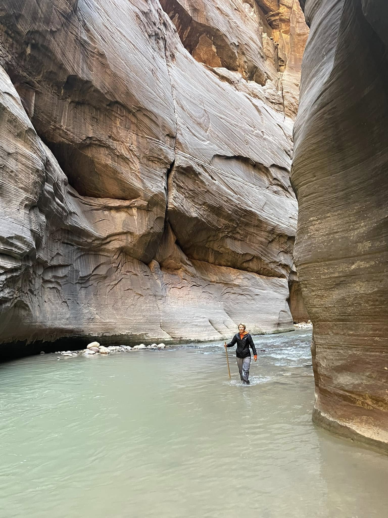
We hiked through water and along rocky banks with sticks that helped not only to keep our balance but also to feel around under the water so we didn’t trip and fall. We saw a few people stumble and go down in the frigid water. Not pleasant, I’m sure. I felt quite bad for the woman near the end of the hike who was actually wearing bib pants. She fell and had trouble getting her footing back. She was soaked…
The first destination in The Narrows was “Wall Street”. This day, the water was running as high as 55 feet per second, which is approximately 60km/hour. It was hard work trudging against that! Just like New York’s Wall Street, this Wall Street will chew up and spit out the unprepared.
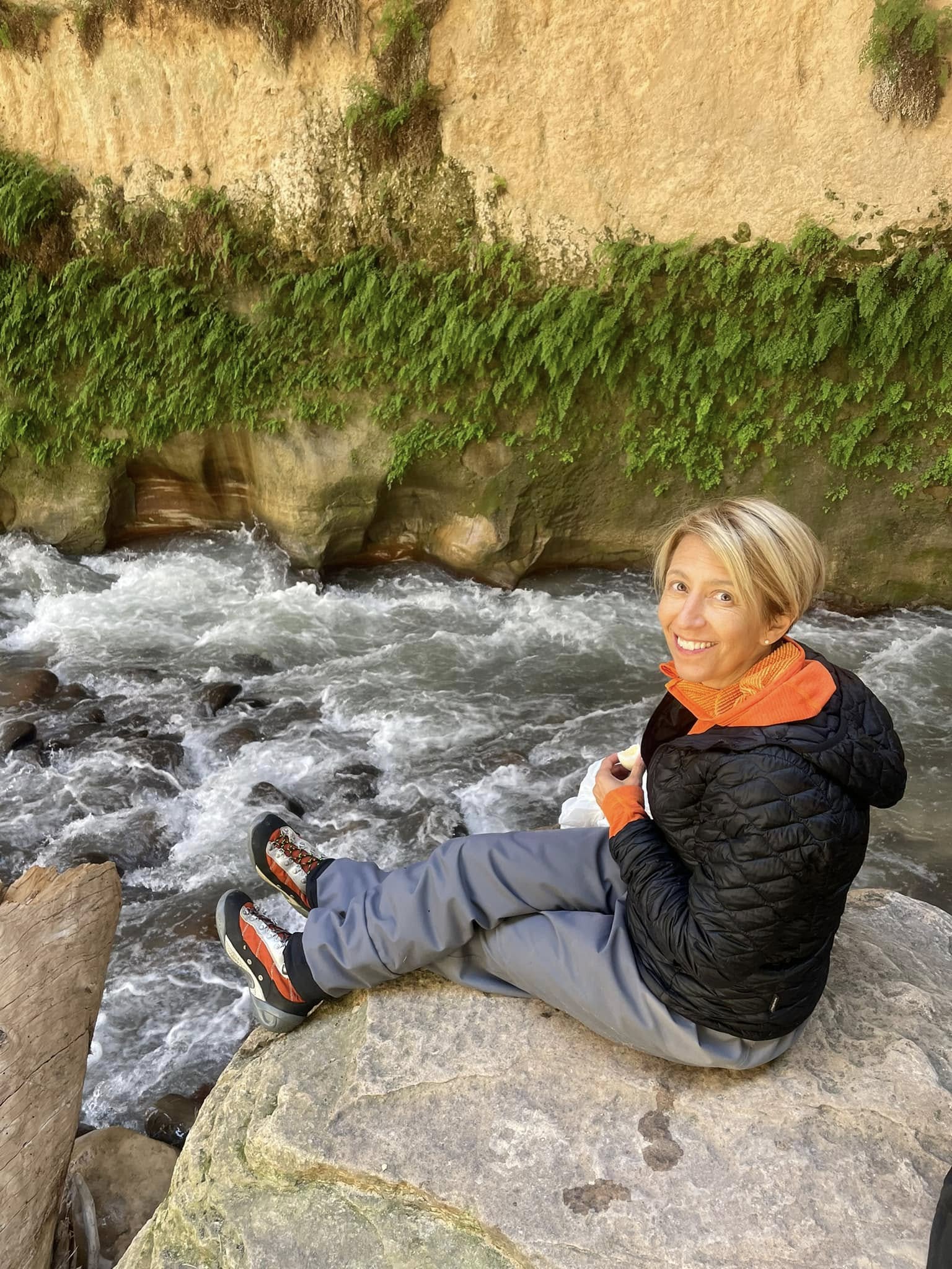
Lunch time! We scrambled up into this rock overlooking the river. We are in a completely different environment today than yesterday. Here, the abundance of water nourishes a very different plantscape. Madenhair ferns grow in cracks and crevices.
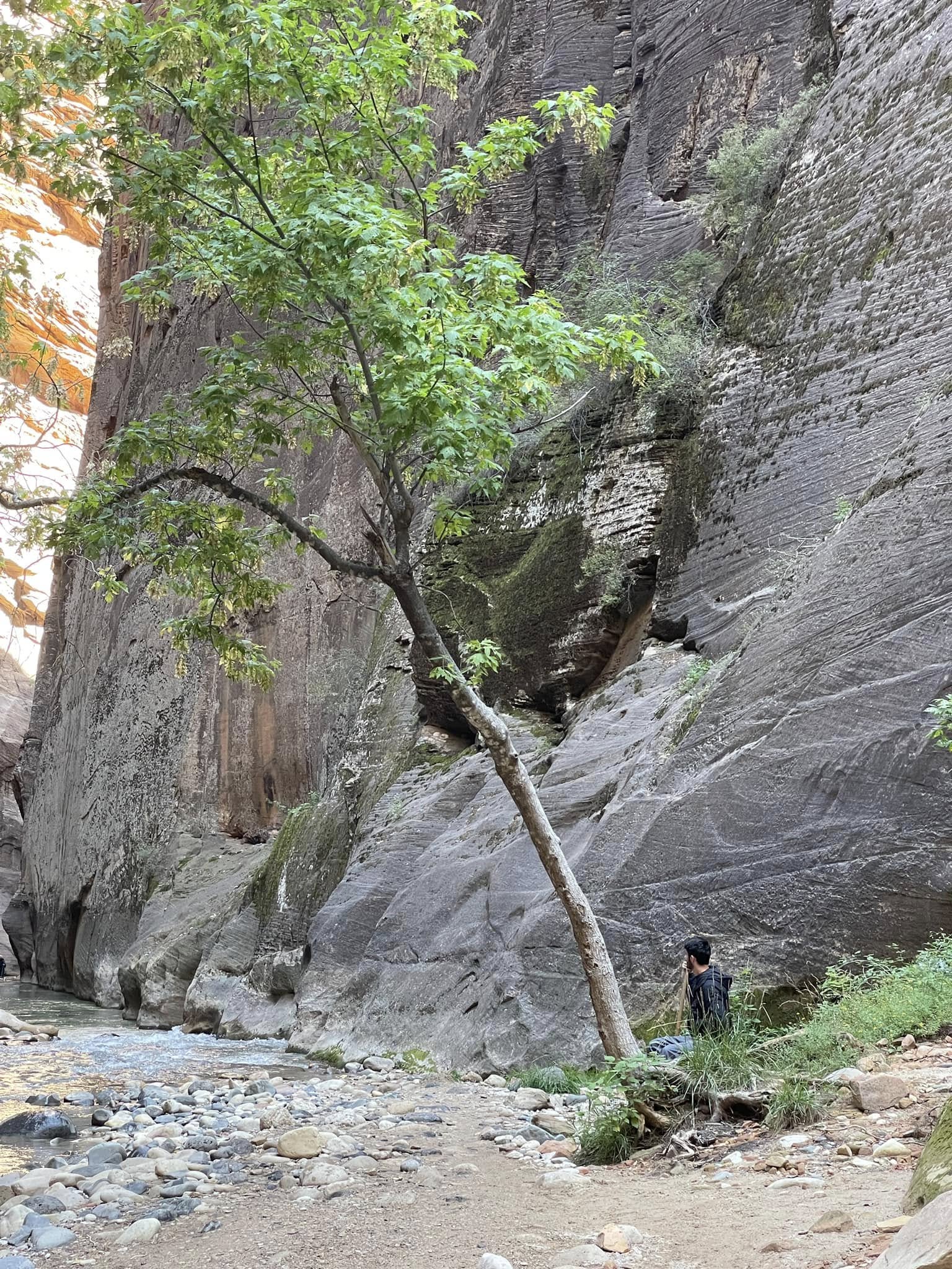
Cottonwood trees also abound in this damp environment…if they survive a flash flood. When this happens, the crashing water uproots what seem like even the strongest trees. When you see a tree that looks like this, give it some praise. Tilted like this shows that it faced a hard won battle with a flash flood.
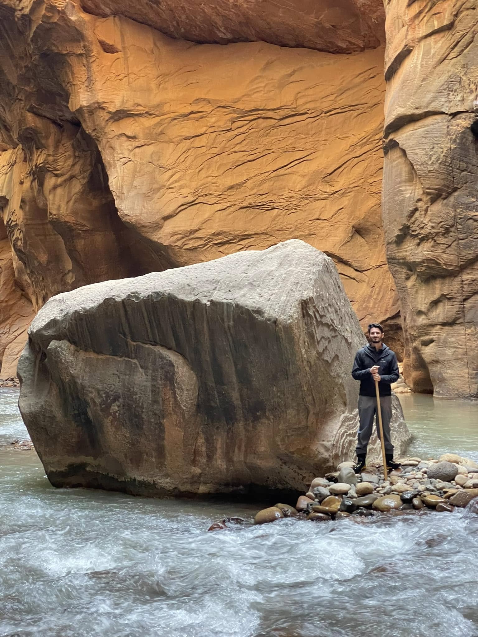
Our hike destination was Floating Rock. There are no trail markers so you have to watch out for landmarks. Floating Rock is a pretty big one but Adam insisted that this big rock was not actually THE Floating Rock. So on we pressed, to a point where the water would be chest high on Adam. We turned back at that point as his and Alex's pants wouldn't have kept the water out and I would have had to swim! So much for seeing Floating Rock...until we came across it about 20 minutes back on the return journey!
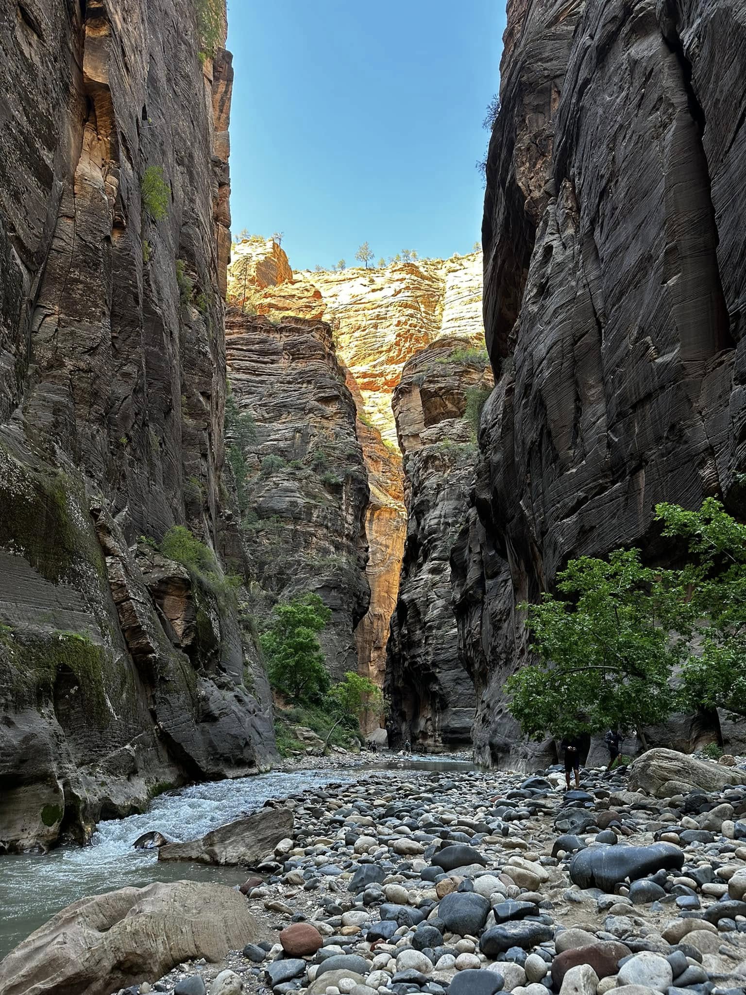
Early morning light streaming into the canyon.
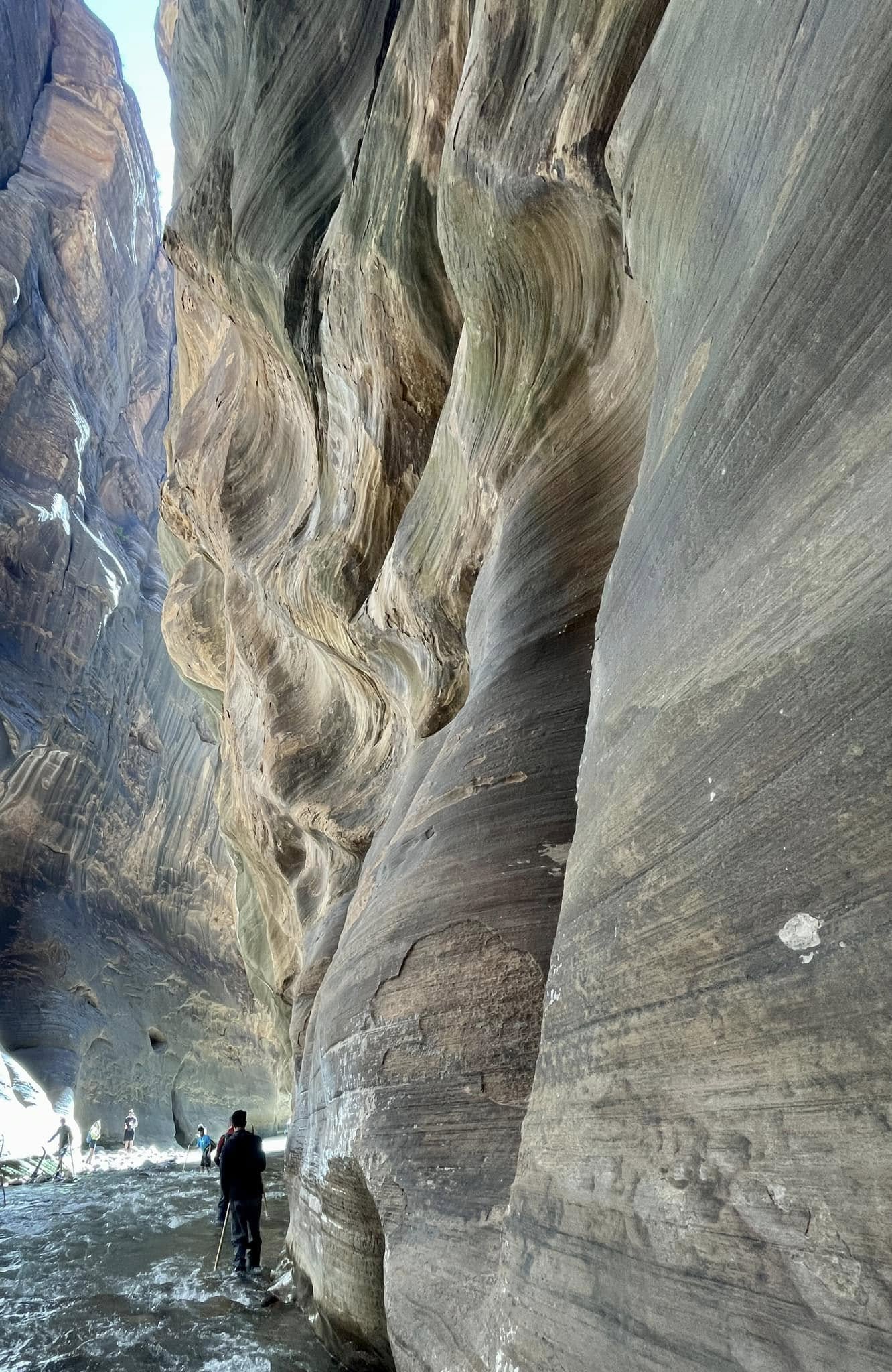
Water, sediment and wind have chiseled these beautiful, soft waves into the rock.
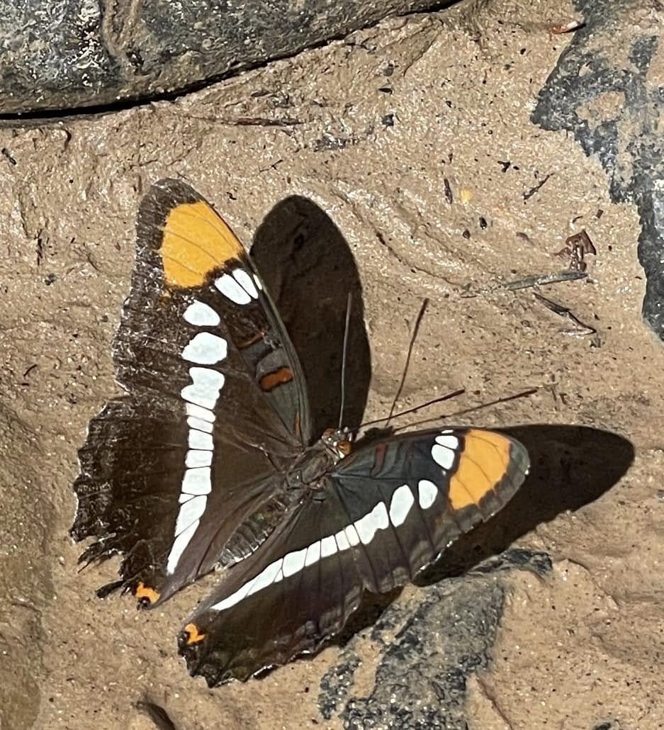
This beauty seemed to be following us around on the hike. Maybe she was trying to show us the way to Floating Rock… By the end of the day, we hiked 18.5km, much of it pushing against the current.
Arches National Park
Arches National Park is about half the size of Zion but seems much busier. Maybe it’s the size that makes it more crowded, but I think a big factor is many of the arches that are so iconic are very easily accessed by flat walking trails. This place is under such tourist pressure (4.5 million visitors per year) that they have implemented a timed reservation system to try to both limit the volume of people but also to spread it out throughout the day. Our entry time was midday. Not ideal. But here’s a hot tip: you can go in before 7am without a reservation. We assumed that meant sailing through the open gates. Nope, there was a lineup of traffic because you still have to pay. Thankfully we were early enough and made it through the line in time!
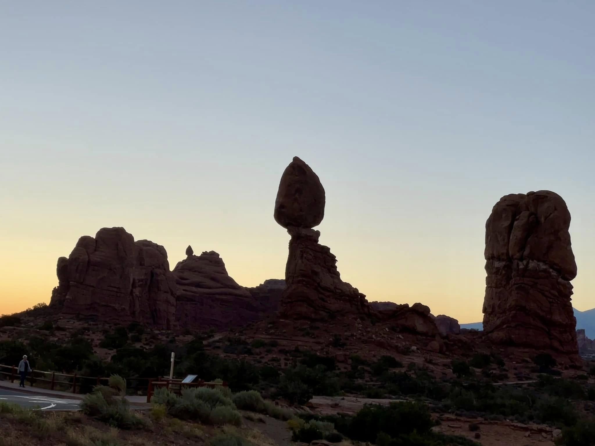
Sunrise behind Balance Rock in Arches National Park. As with everything around here, erosion is Mother Nature’s sculpting tool.
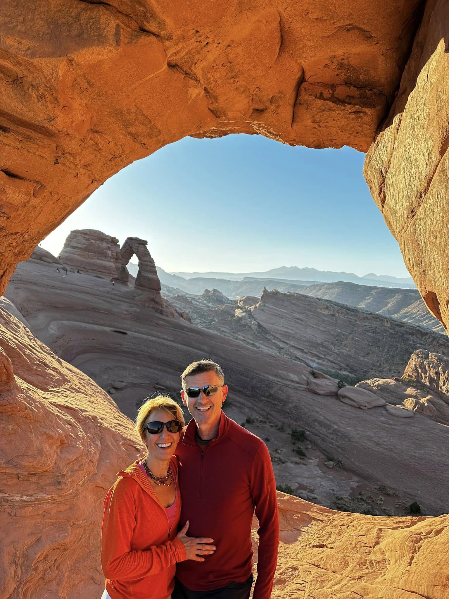
Just after sunrise we got to the Twisted Donut Arch with a view to the infamous Delicate Arch. There are over 2,000 arches in this National Park which luckily is not in an earthquake-prone area otherwise they wouldn’t exist.
Most of the rock is sedimentary; bits of clay, sand and gravel held together by minerals. Here, the upper layers are more porous than the lower layers so the water seeps through and gets stopped when it gets to the lower layer. It settles along the seam between the two layers, dissolving the minerals and weakening the rock. A hole starts to form and gets bigger and bigger thanks to gravity and time. This is a constant process and ultimately the hole in the arch will get so big, the arch will collapse.
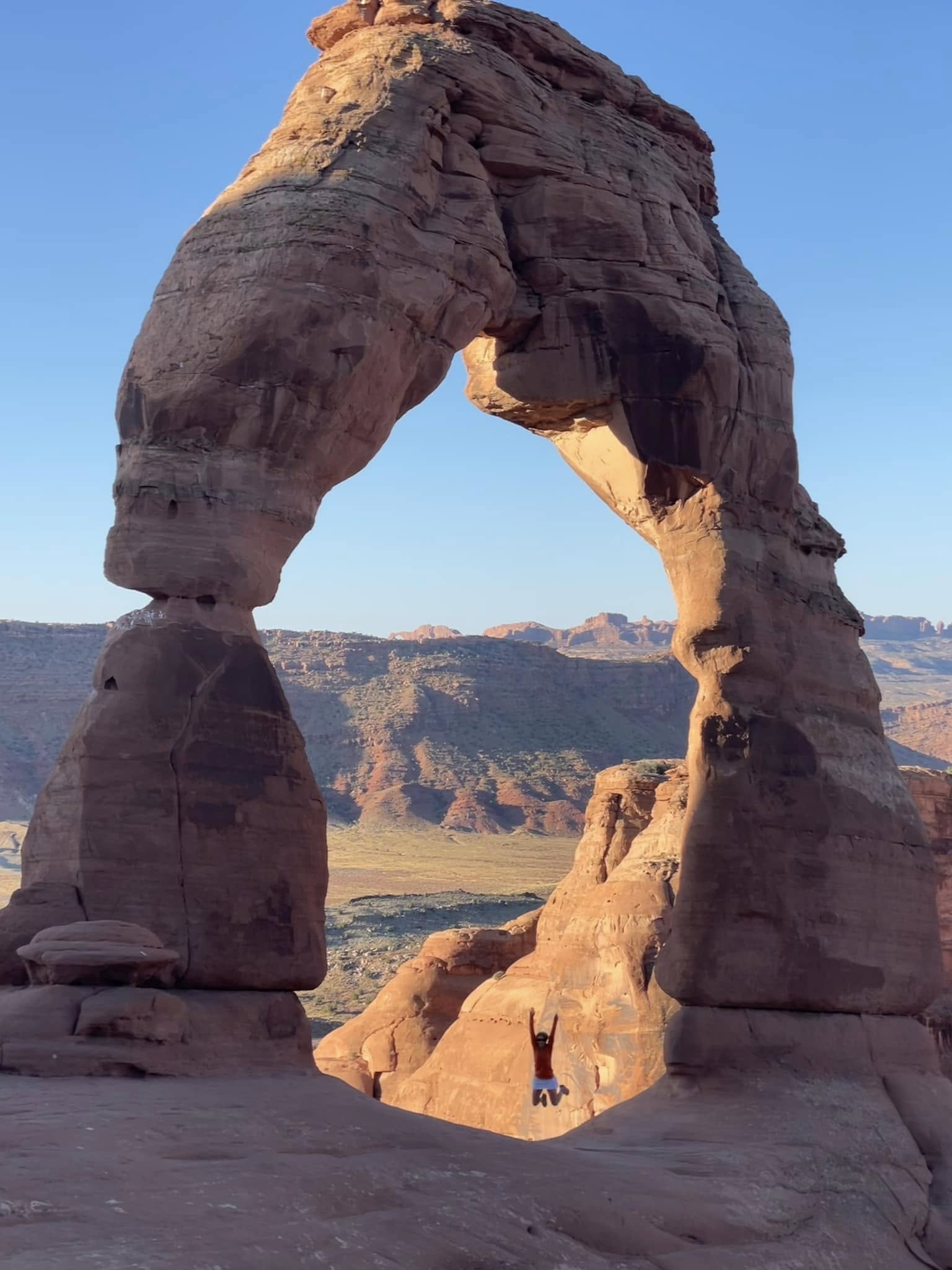
The iconic Delicate Arch, featured on the Utah license plate. Oddly, me jumping in the arch didn’t make it into the final license plate artwork.
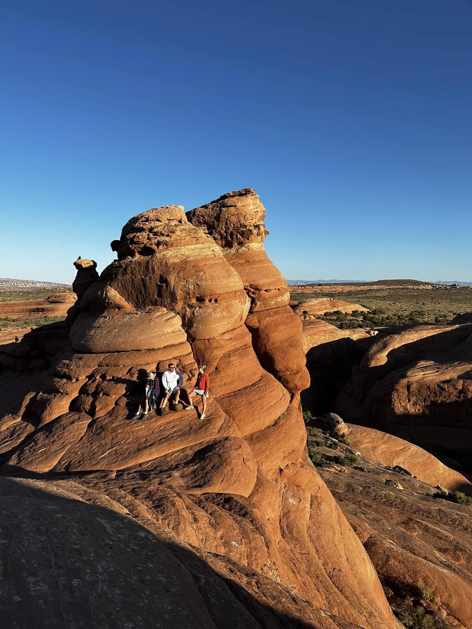
Clinging to the rock beside Delicate Arch, having a chat with a couple we met from Wisconsin.
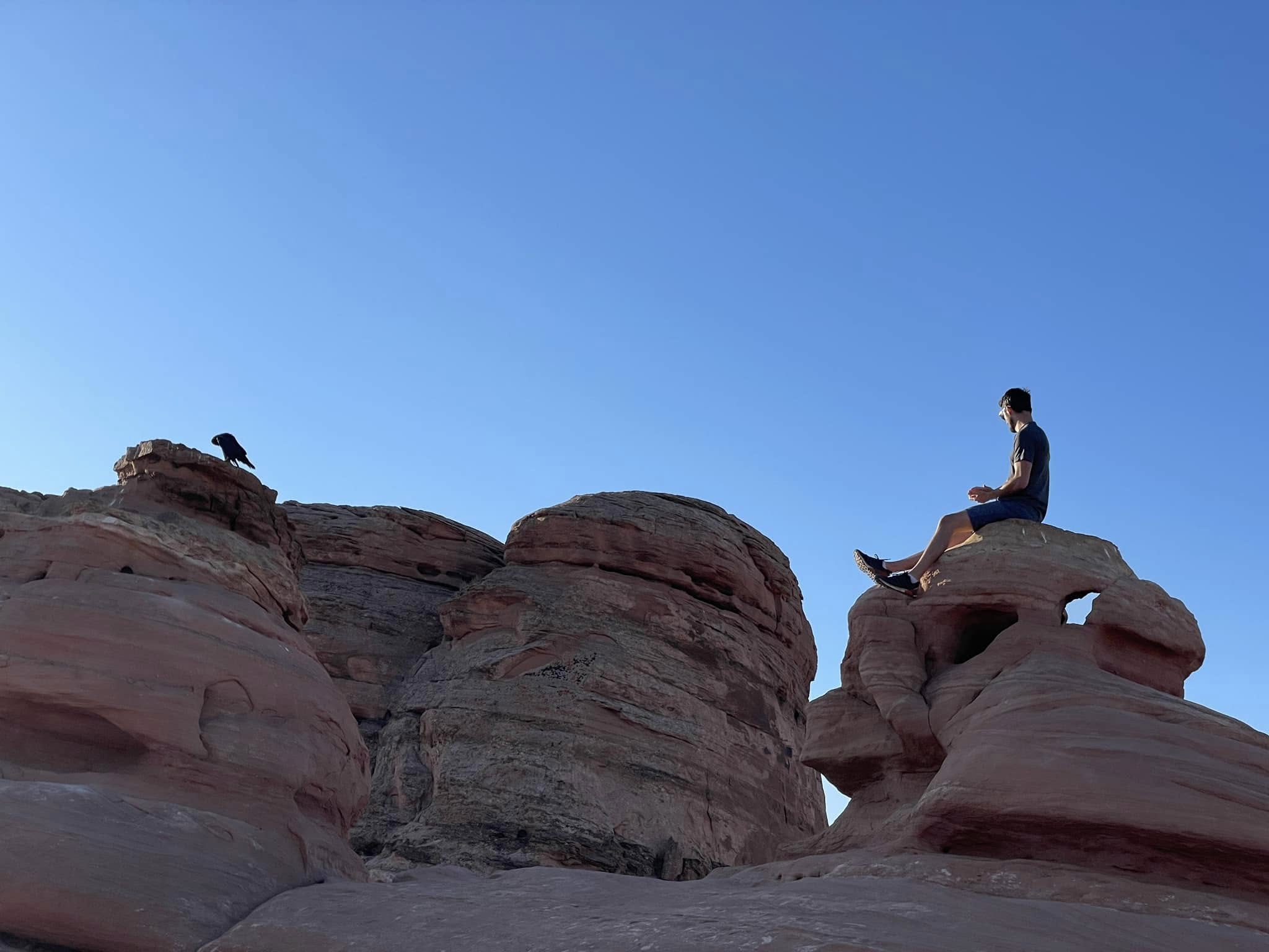
Alex communing with a member of the local raven community. I don’t think he likes what Alex has to say as he has turned his back to him.
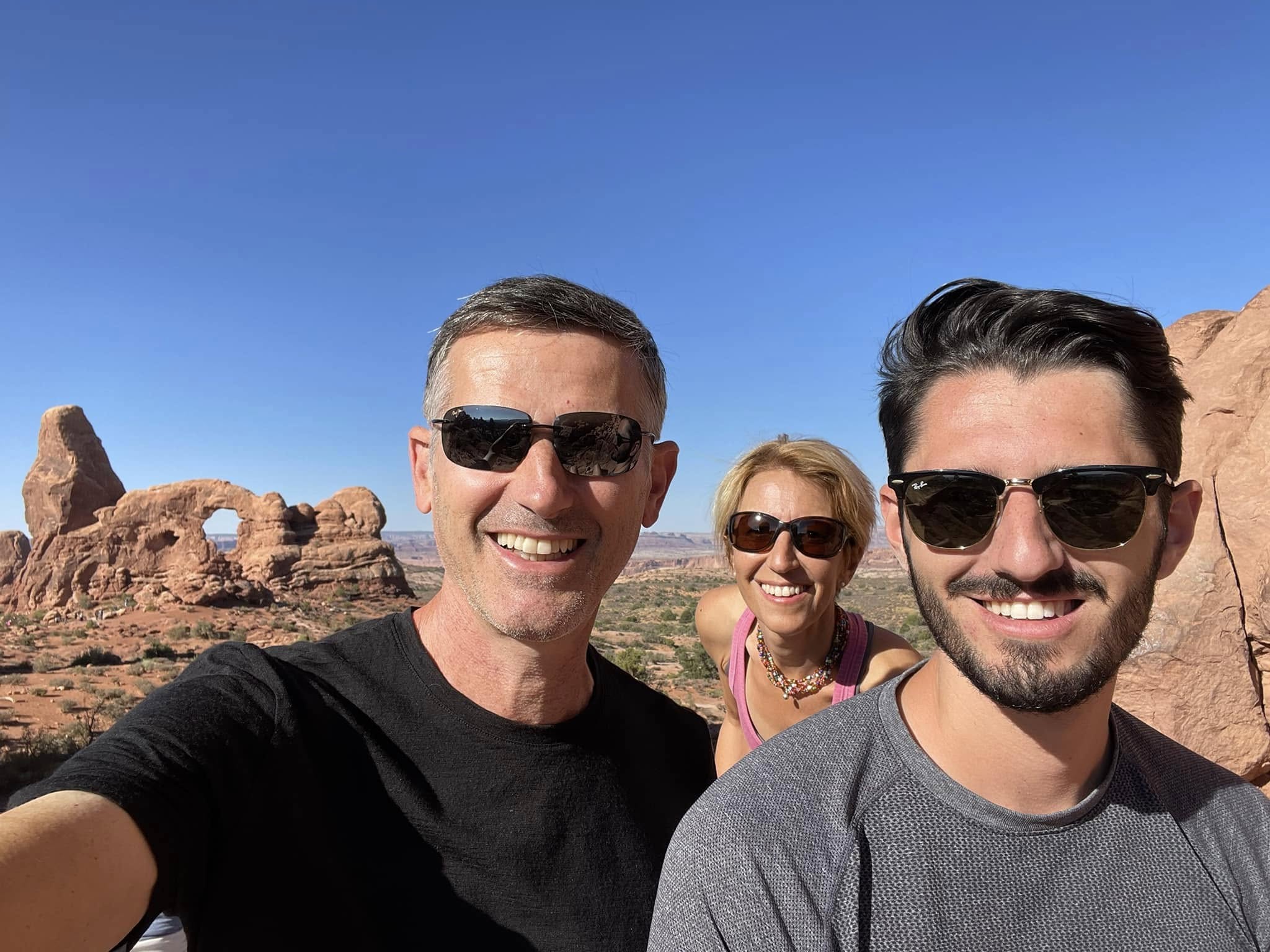
Arches and windows dot the lanscape in this section of the park.
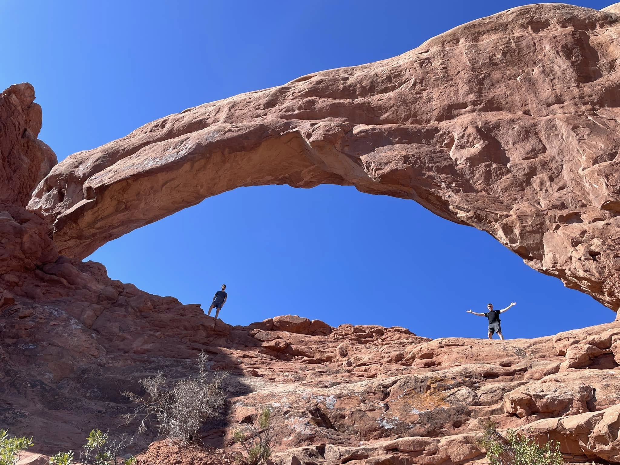
Adam and Alex standing in South Window. They look so tiny because they are compared to the size of this opening: 105 feet long and 65 feet high. Standing way below, I called to Alex and asked him to move further and further left. Adam was freaking out because what I couldn’t see was a sheer drop off on the other side! Alex looks pretty relaxed though…
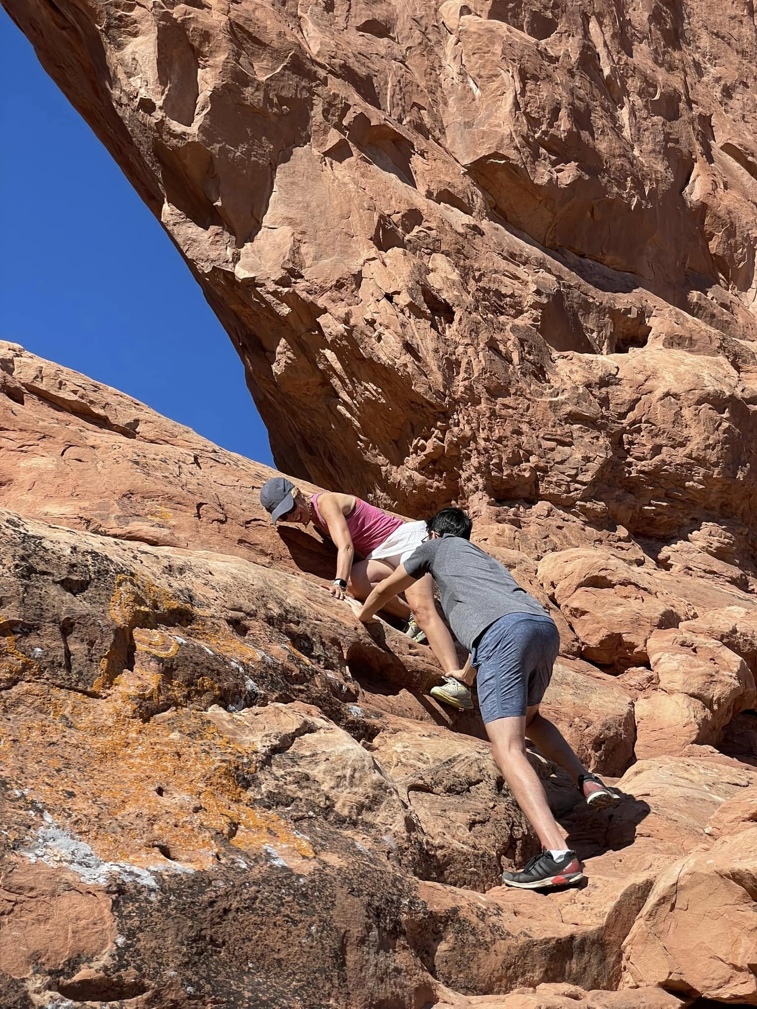
They said there was a great view from up there so I had to go see for myself. I managed to get up but got scared going down! Alex had to guide me and get my foot onto a ledge.
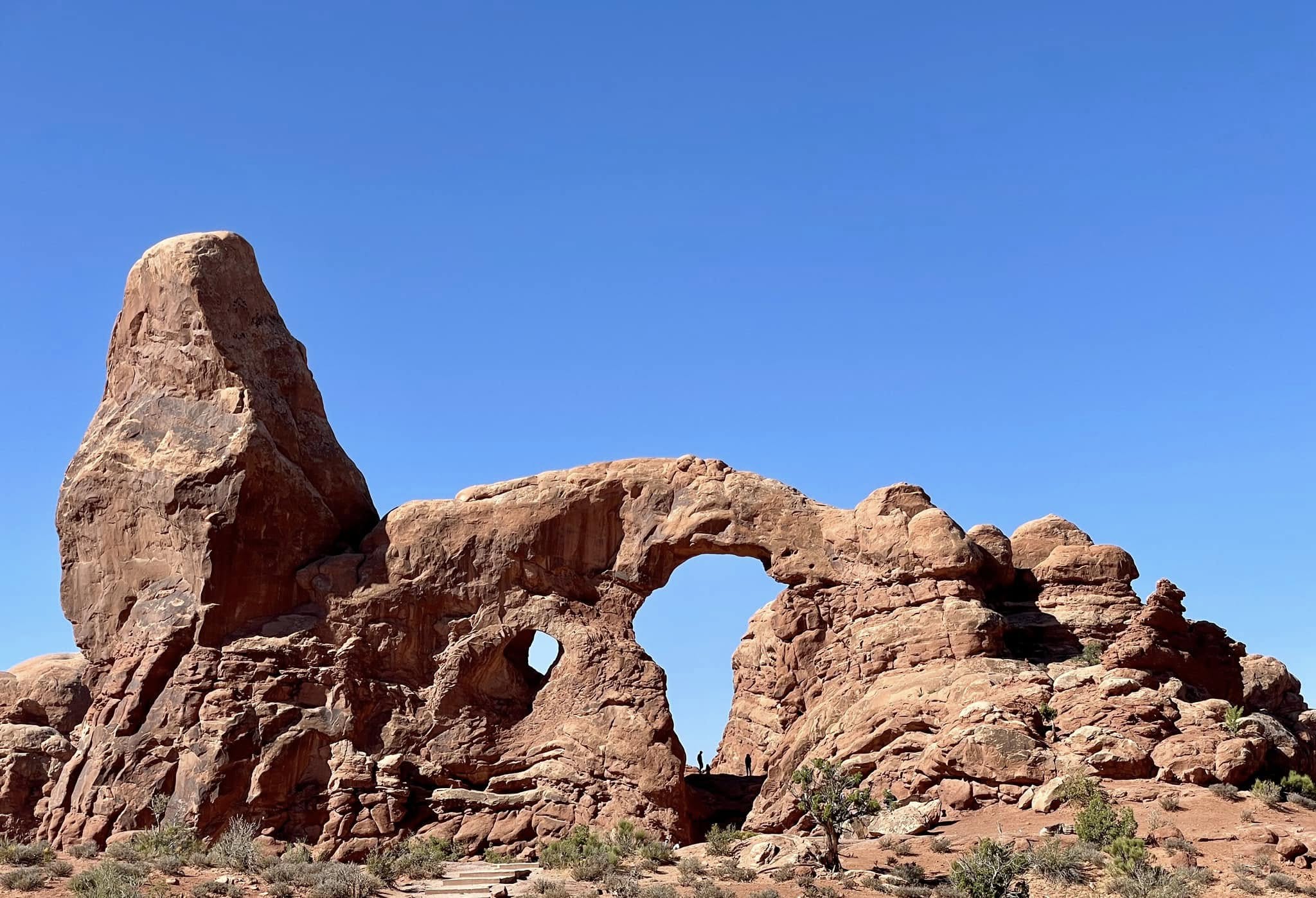
Turret Arch, aka Kneeling Camel. Looks like a giant keyhole and that little speck at the bottom of it is Alex!
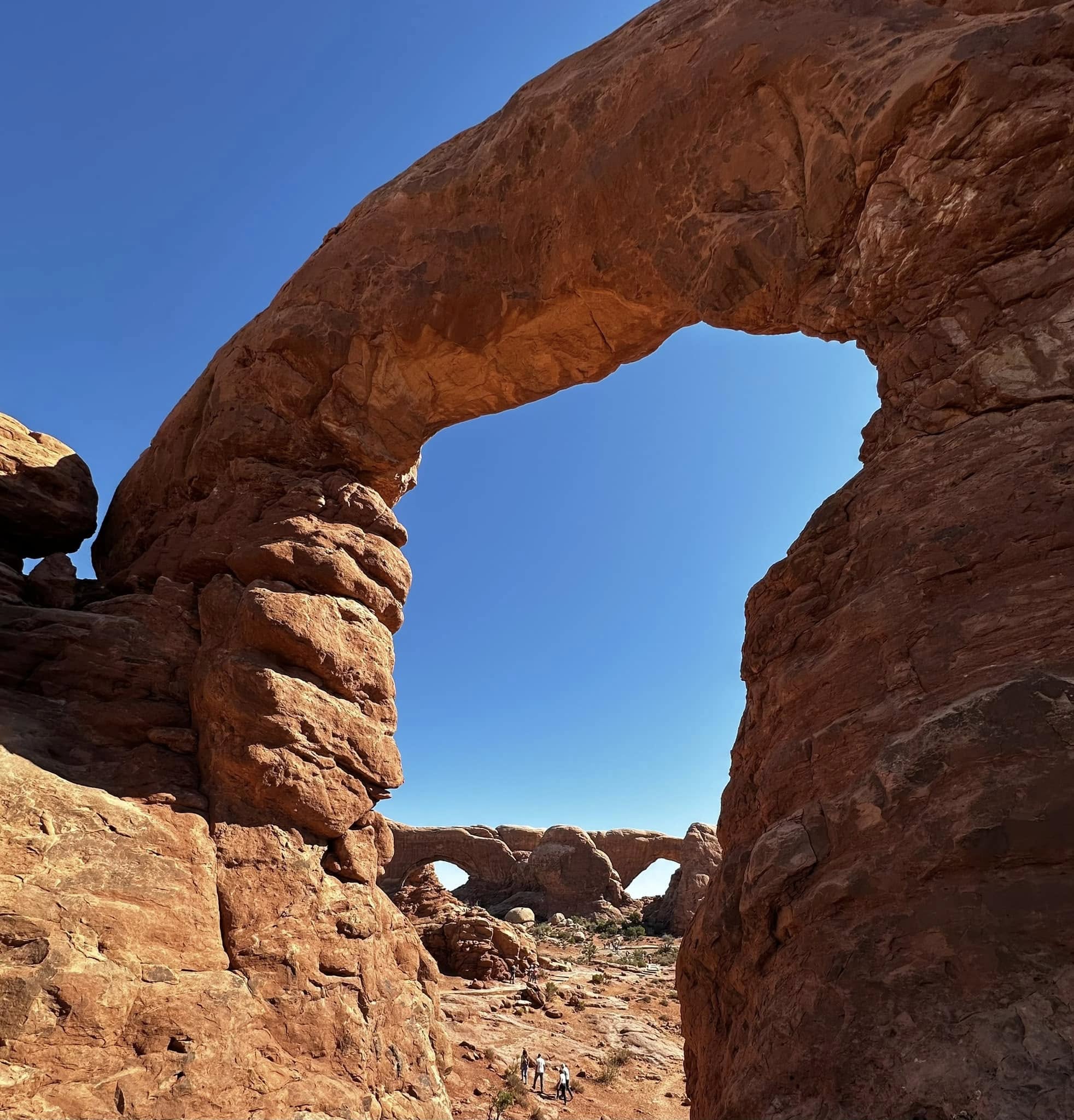
A view of the North and South Windows from Turret Arch. South Window, where I got stuck coming down, is joined to its neighbour to its north by a band of rock called Nose Bridge. Perfect name!
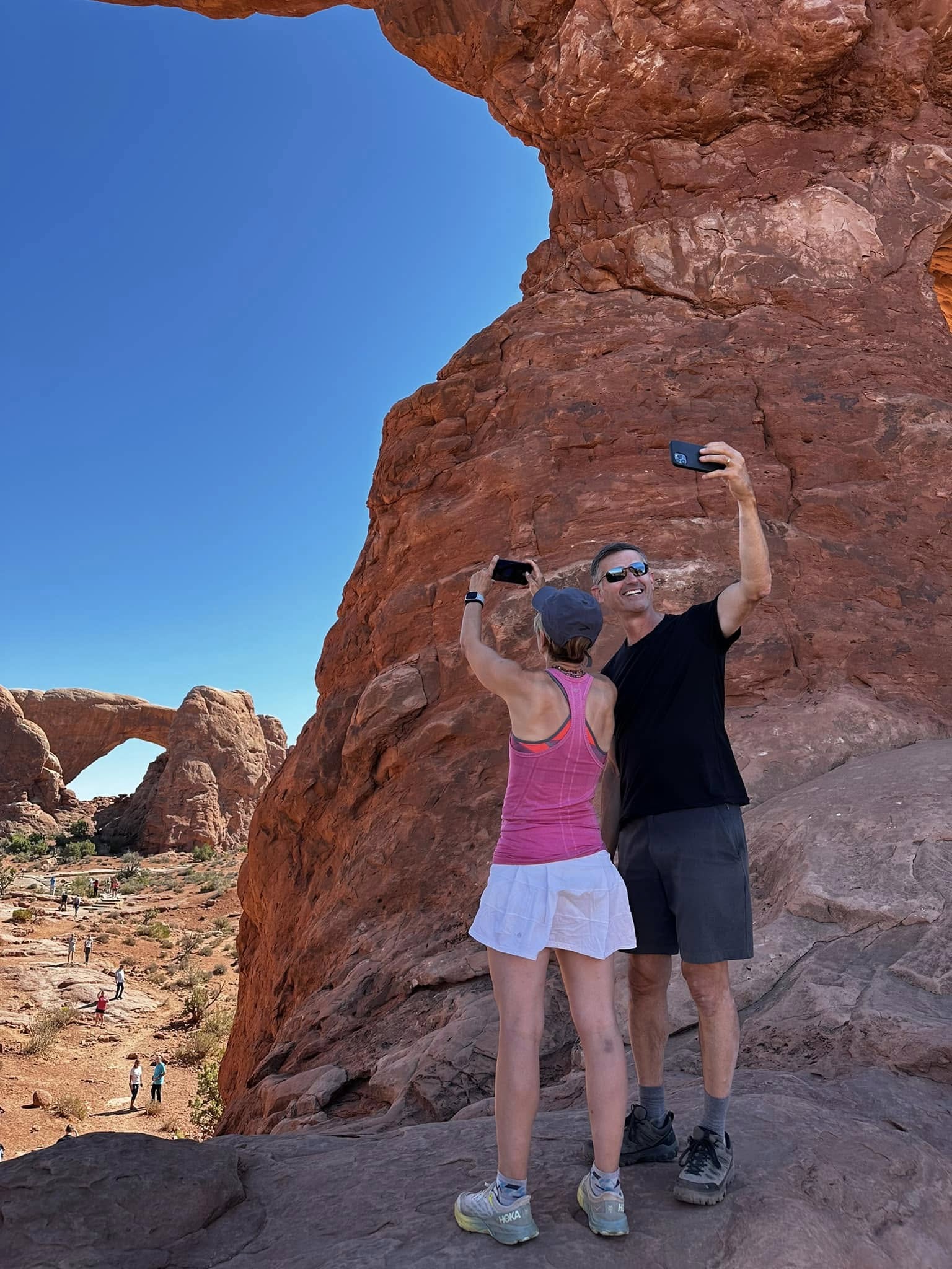
We never miss a shot!
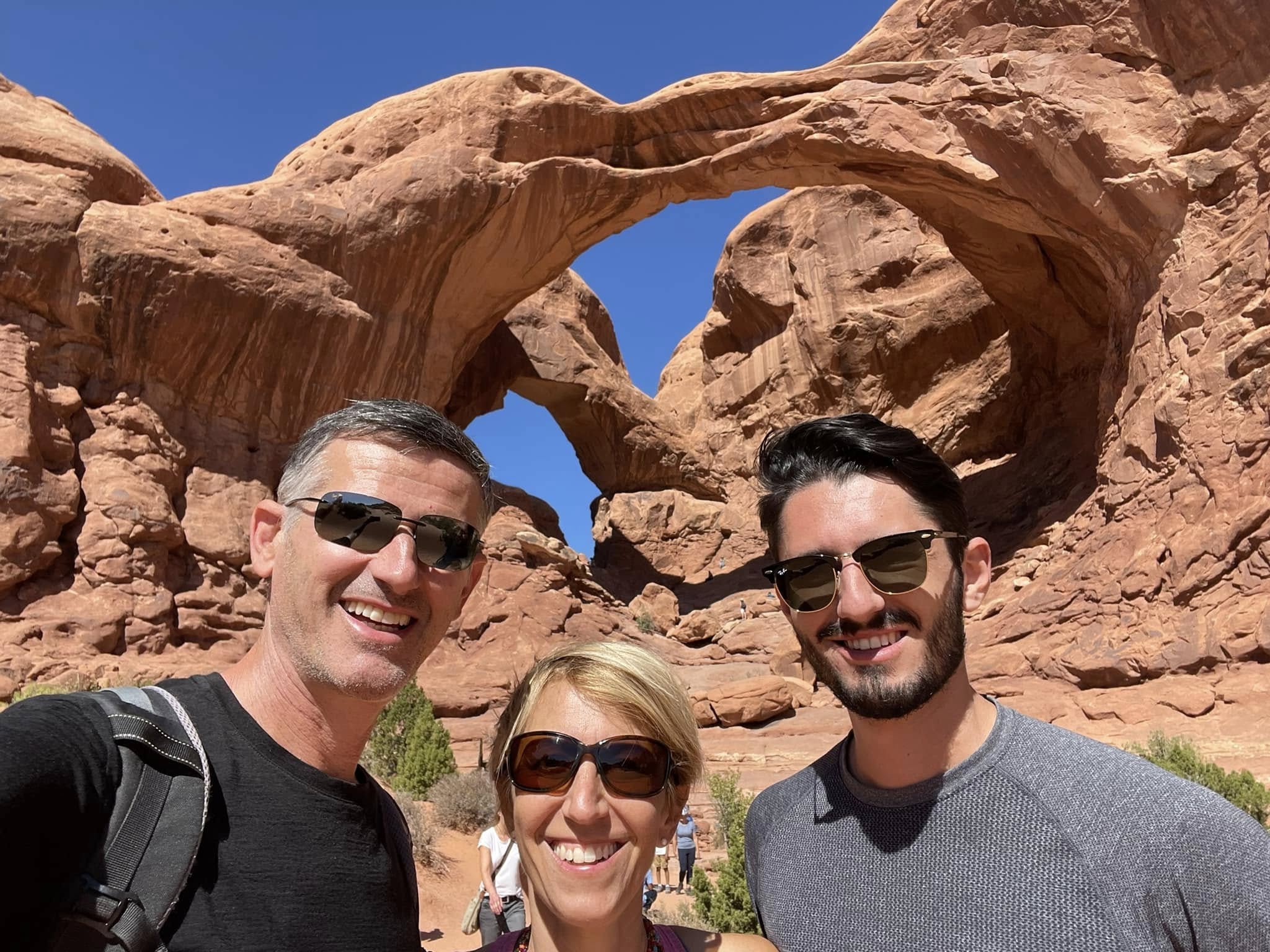
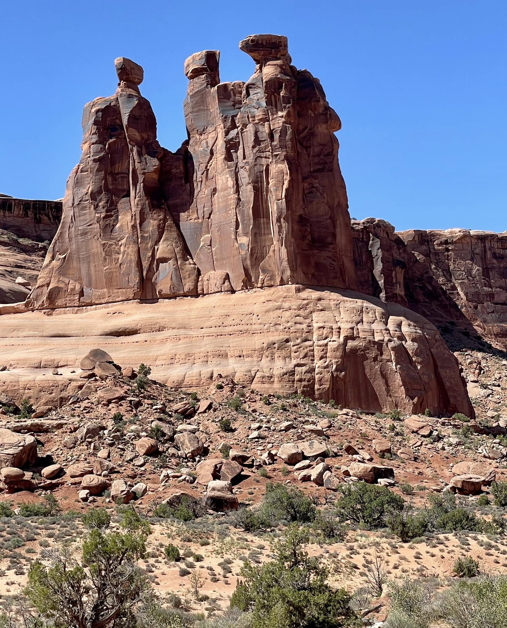
Double Arch is the tallest is the park and is one of those objects that you can’t imagine is carved out of the same piece of stone. Mother Nature magic. It’s pretty steep to climb up inside it but made for a perfect lunch spot. As we sat having lunch, a dad (in flip flops!) climbed up with his two boys. I was having a series of heart attacks as I watched these two kids, aged 4 and 6, running around on the slick slope and then climbing up to the window. Dad kept telling the kids it wasn’t safe and not to climb or run but they did anyway so he gave up and told them to be careful.
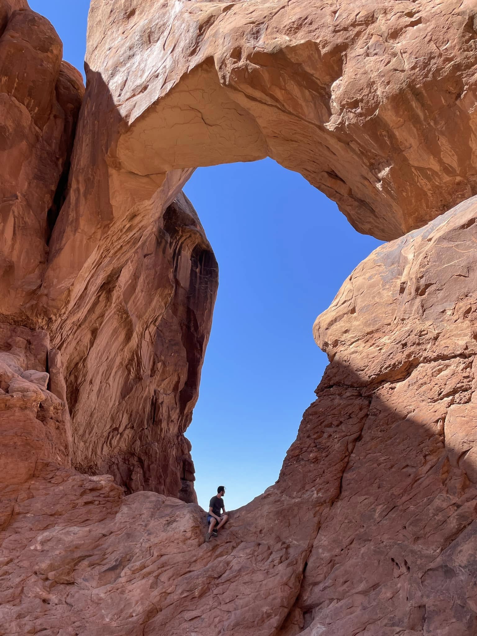
Looking out the Double Arch window.
A little family group.
Corona and Bowtie Arches
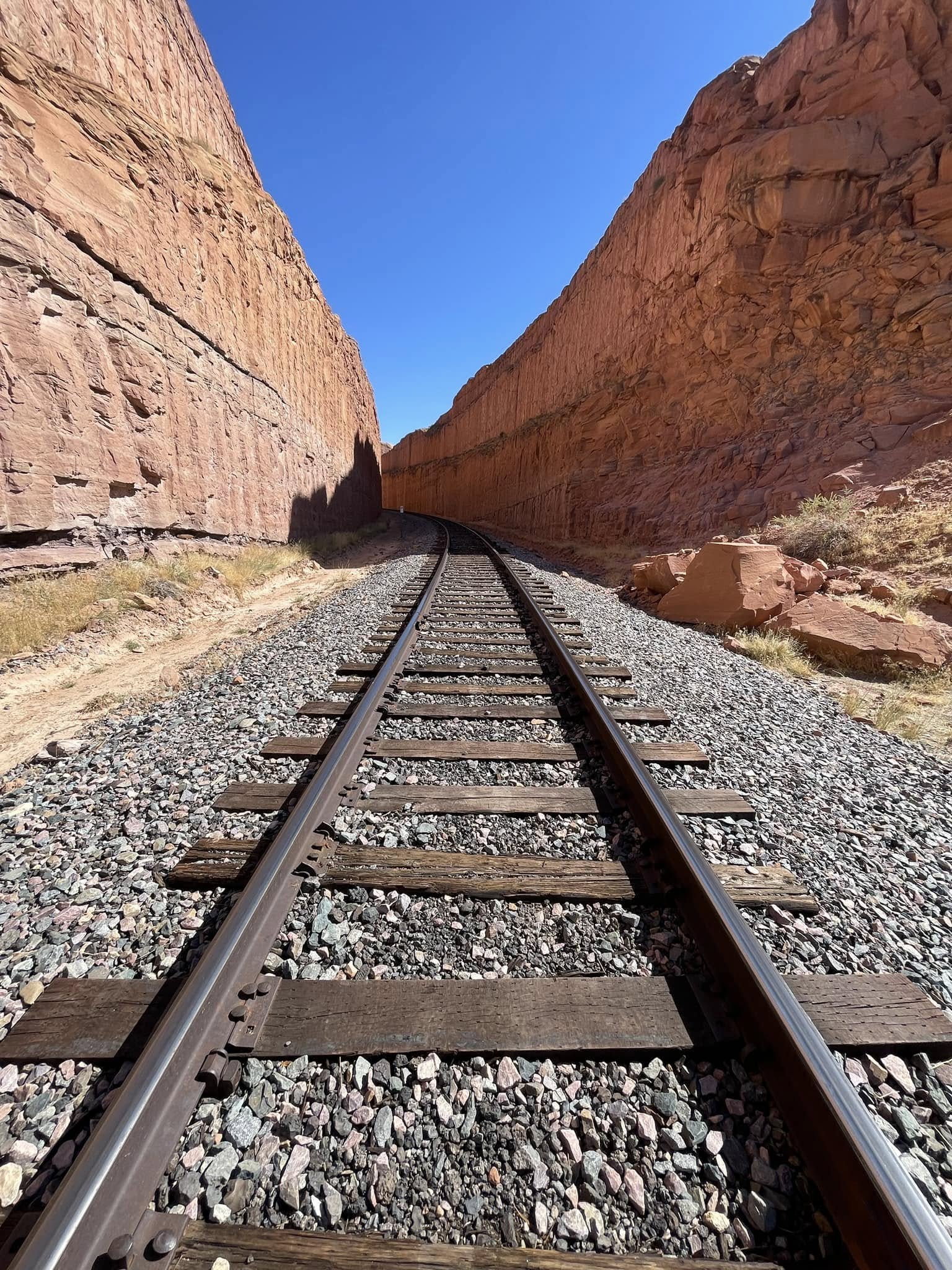
We left Arches National Park and headed to Bowtie and Corona Arches where there was hardly a soul but us. These are not in their own parks, nor are they part of Arches National Park, but they are on public land managed by the Bureau of Land Management. To get there, we started out crossing an old potash railroad track that is still in operation.
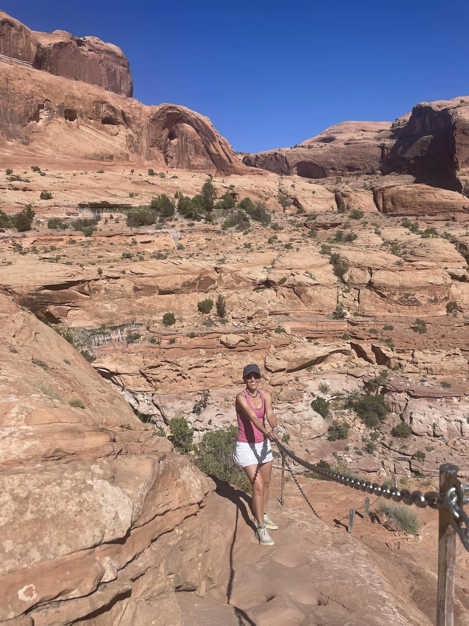
There’s not a lot of elevation here but there’s a lot of slick rock making it tough to climb. Chains and a ladder helped!
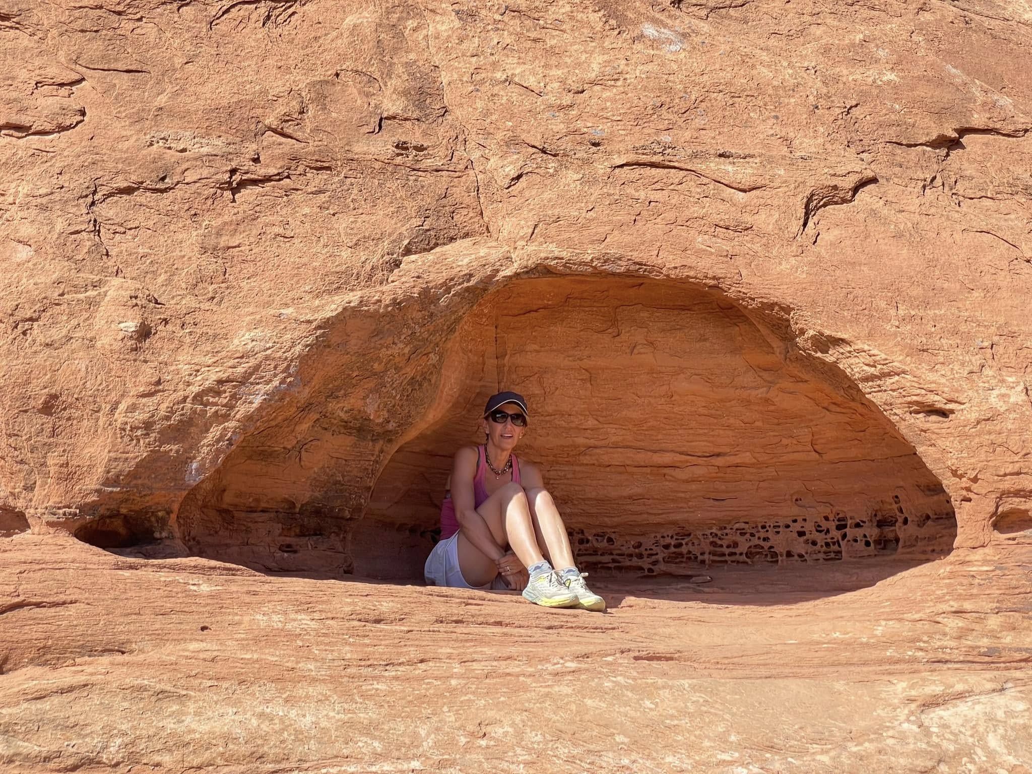
I found a little hidey hole to take a break from the sun.
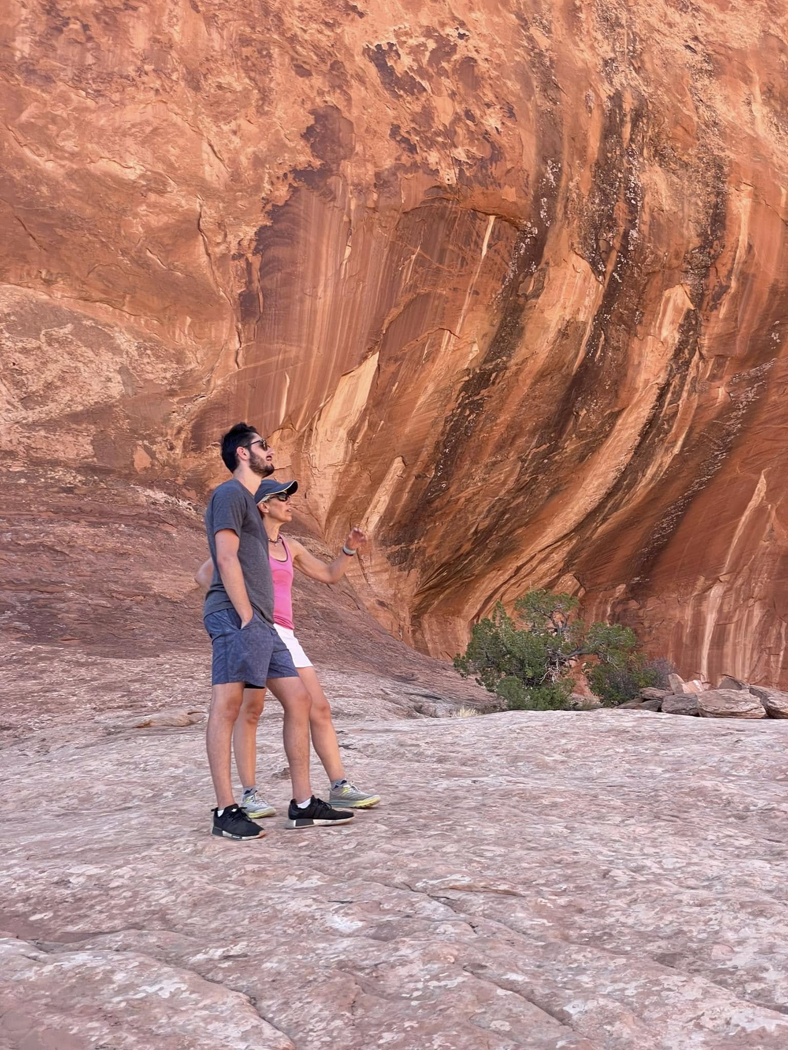
An important geological discussion.
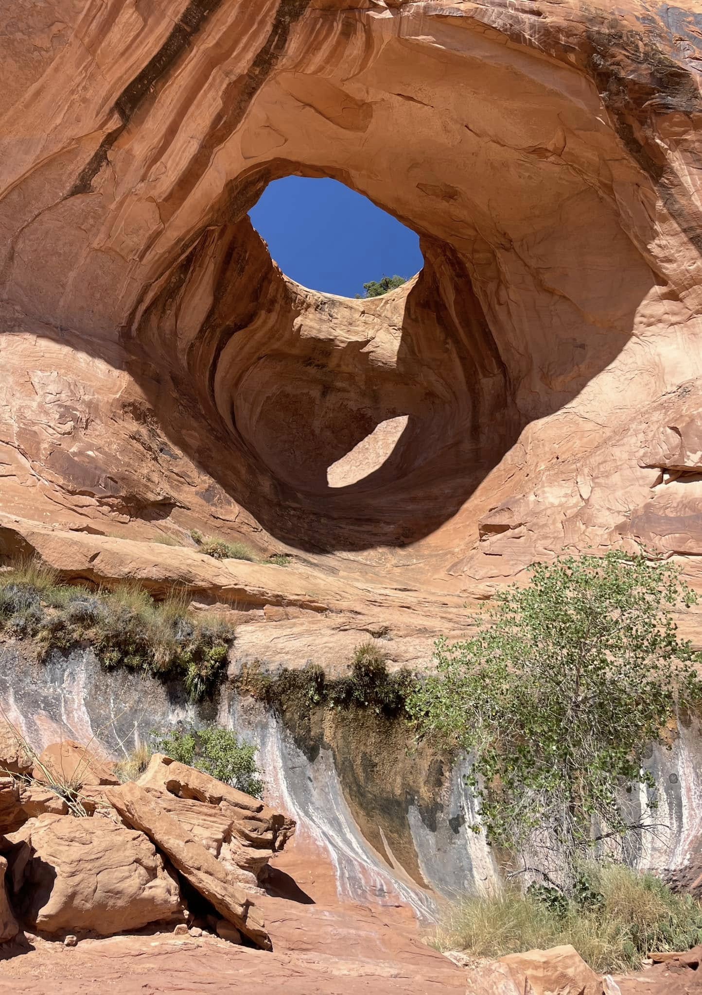
Bowtie Arch. I love the colours of the streaks of minerals below it. This is a pothole arch that formed when a pothole above the canyon filled with water and eroded down into a cave below.
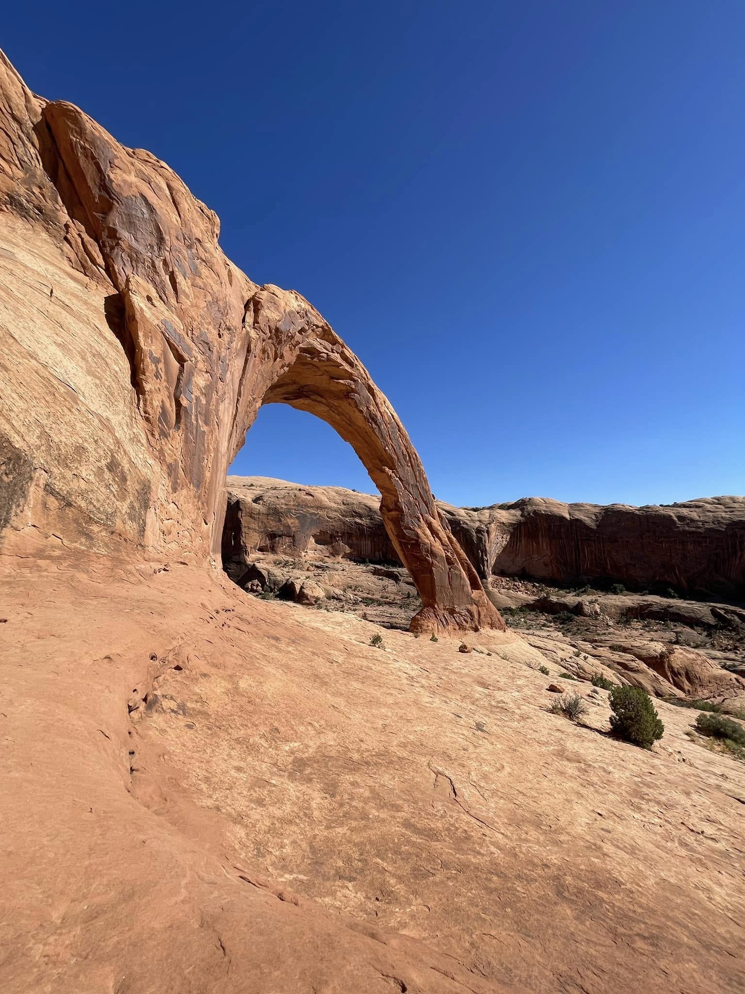
Corona Arch! Looks like a flying buttress. This arch is a whopping 140 feet wide and 105 feet tall. Back in 2011, someone came up with the bright idea of making a rope swing from the top of the arch. Viral YouTube videos ensued. Sadly, in 2013 a 22-year-old man jumped to his death due to a miscalculation of the length of the rope. The government temporarily banned rope swinging here in 2015 and it has yet to resume.
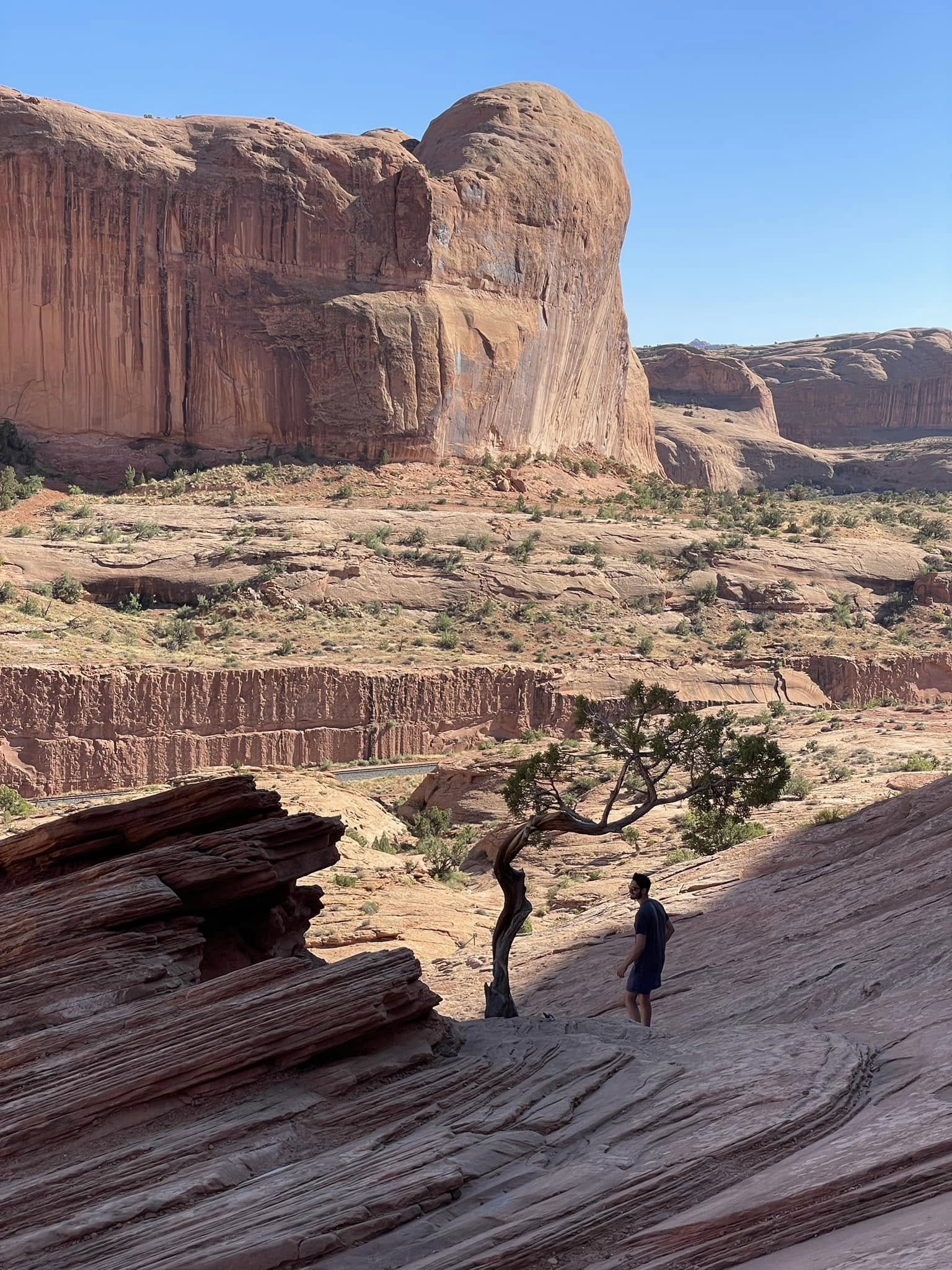
Heading back after a long hot day. I can’t get enough of these twisted Junipers!
Canyonlands National Park
Canyonlands National Park is the biggest of the Mighty Five. This place was magic! The different landscape was mesmerizing and there was hardly anyone there! There are four distinct areas in the Park and with the one day we had left, we chose the Needles District’s Chesler Park loop, navigating a slot canyon, slickrock, sandwashes, ridges, and an unspoilt meadow. What a perfect end to our week in this spectacular place!
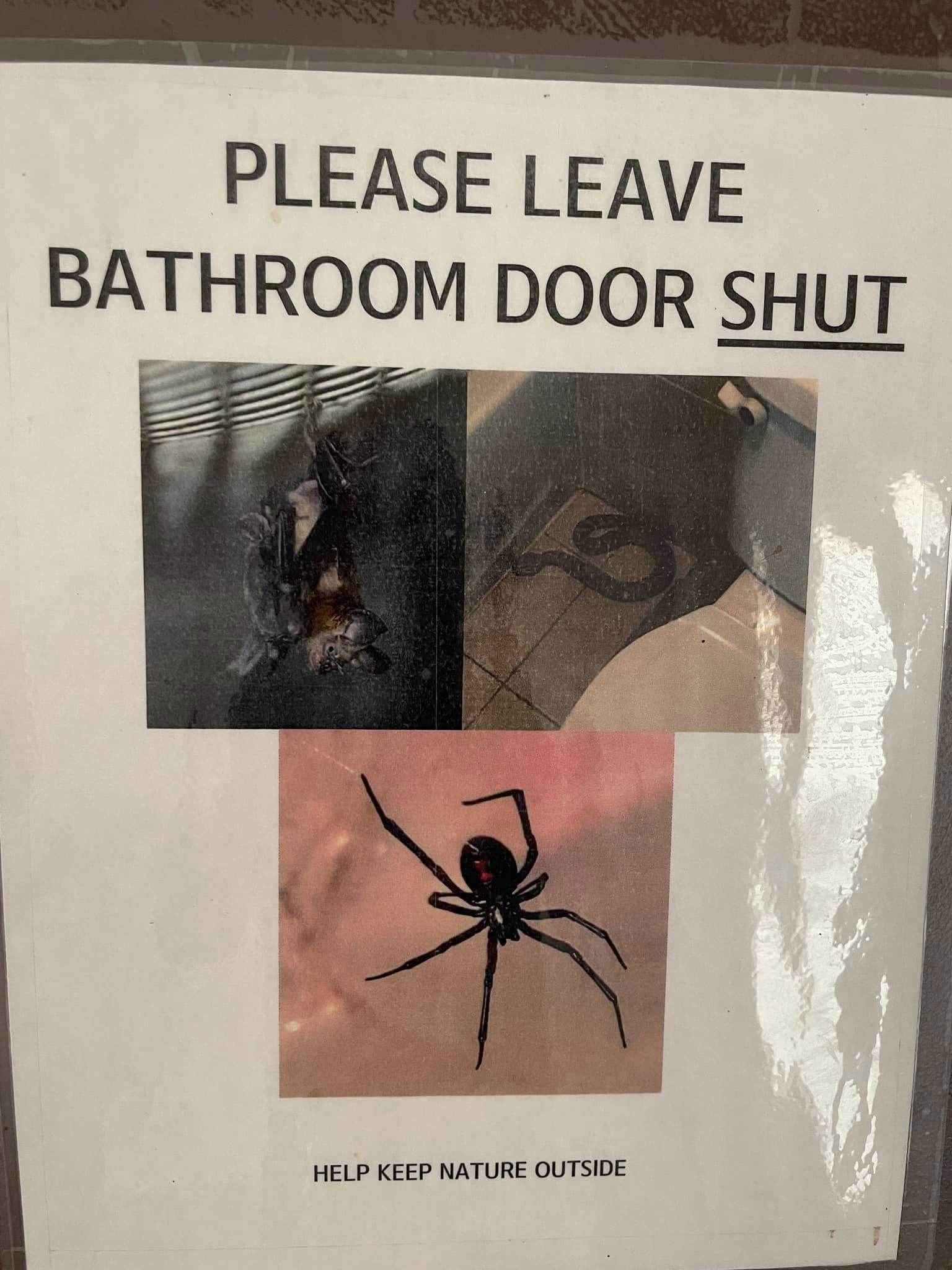
Unfortunately I saw this sign AFTER I closed the door to the pit toilet in the park. After a rapid scan of the walls, ceiling, floor and corners, I established that I wasn't sharing the space with any scary snakes, spiders or bats!
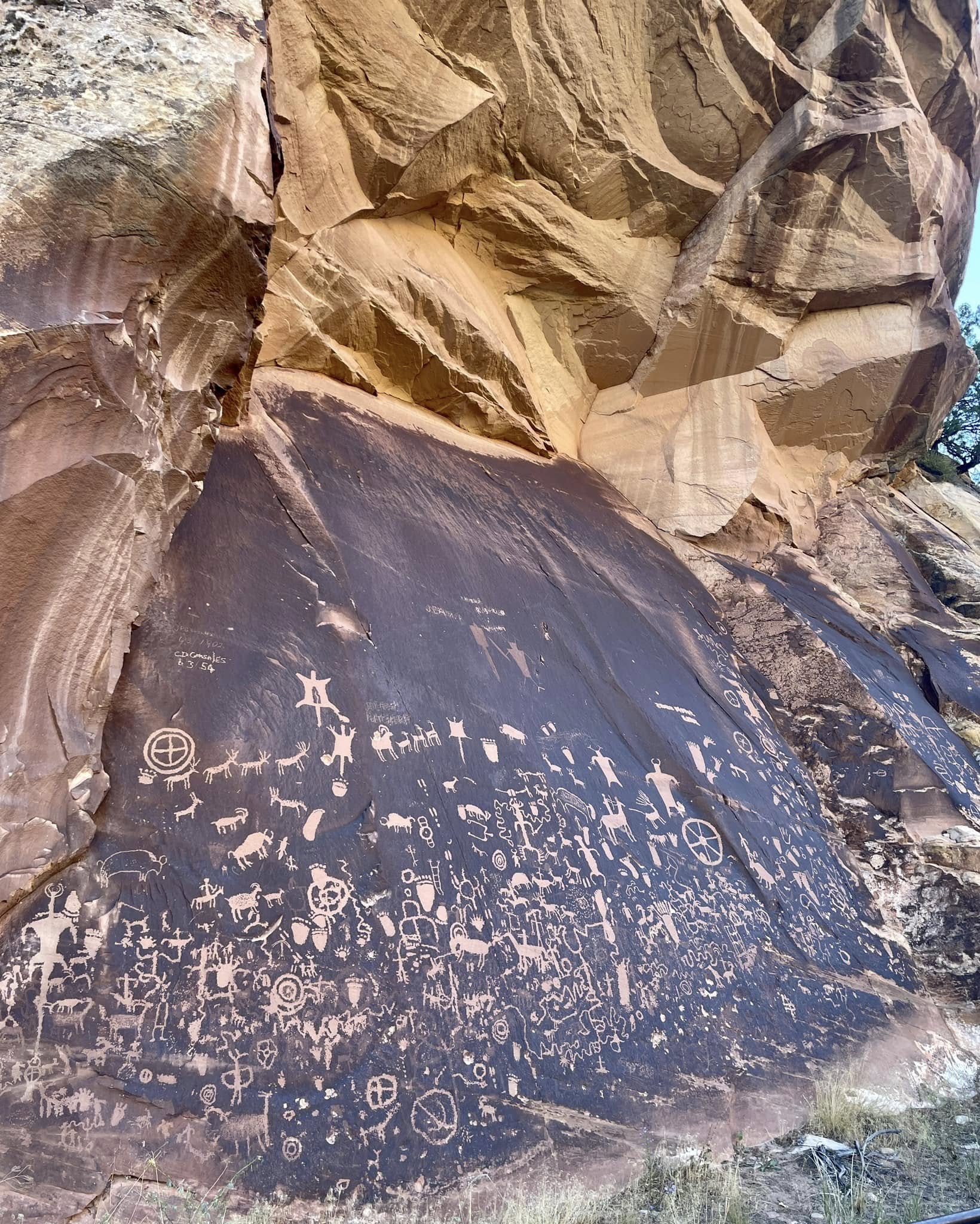
Bacteria does what bacteria needs to do to survive. Sometimes it wreaks havoc in our bodies and sometimes it makes a perfect canvas for long-lasting artwork. Rock-living bacteria pulls minerals out of the environment, oxidizes and cements them to the sandstone surfaces, creating desert varnish.
Two thousand years ago, Native Americans had stories to tell. They scraped and chiselled away at the desert varnish revealing the sandstone beneath to immortalize their stories. Early pioneers found these petroglyphs and named it Newspaper Rock. Many peoples have contributed to this broadsheet over the past couple of millennia, including as recently as 1954. I thought this one was an early example of Fake News but apparently not.
In 1900, Ramón González created a family homestead in the Indian Creek area on land that included the Newspaper Rock. J. P. González (Ramón's son) carved his name and date on the far left corner of the rock. Just below, another inscription says "C.D. Gonsales 6/3/54," which was left by J.P.'s son.
In 1900, Ramón González created a family homestead in the Indian Creek area on land that included the Newspaper Rock. J. P. González (Ramón's son) carved his name and date on the far left corner of the rock. Just below, another inscription says "C.D. Gonsales 6/3/54," which was left by J.P.'s son.
Nobody really knows for sure what the the symbols mean so it’s left up to our own interpretation. As far as my interpretation goes, the González men are lucky that defacing a monument wasn't illegal back then.
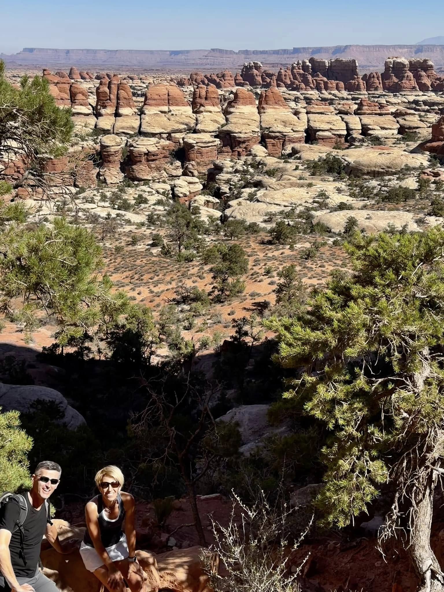
Geology lesson time. I really hope you’re not bored of rocks by now, but this is our last day so take comfort you’re in the final chapter!
What started out as a dune field on the edge of a shallow sea has risen and eroded into the amazing network of of cedar mesa sandstone spires in Canyonlands National Park. The stunning red and white layers come from a mix of wind blown sand from the west and red sediment runoffs from the east.
As the Canyonlands grew up tall over millions of years, events underground were busy creating fractures and cracks to undermine this growth and let water in to do its erosion work. Opposing shifts deep underground caused a checkerboard pattern of north/south and east/west cracks, splitting the hardened mountains of sediment and sand to create vertical blocks of rock. This made perfect entry points for water and wind to sculpt these blocks into these elegant pillars and spires in the Needles District of Canyonlands.
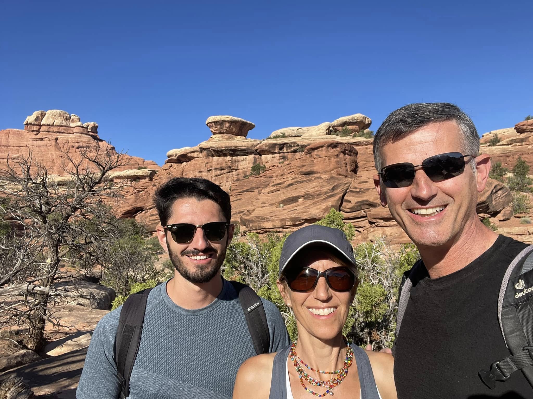
Early start to the day but it took two hours to get here from Moab so it was hot on arrival. Amazingly, as we were returning to the trail head 5 hours later, people were just starting out in the afternoon heat!
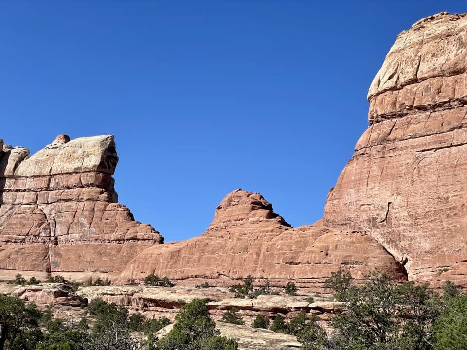
This beautiful fin doesn’t look like it got hit with both east/west and north/south and remains standing as a lone wall.
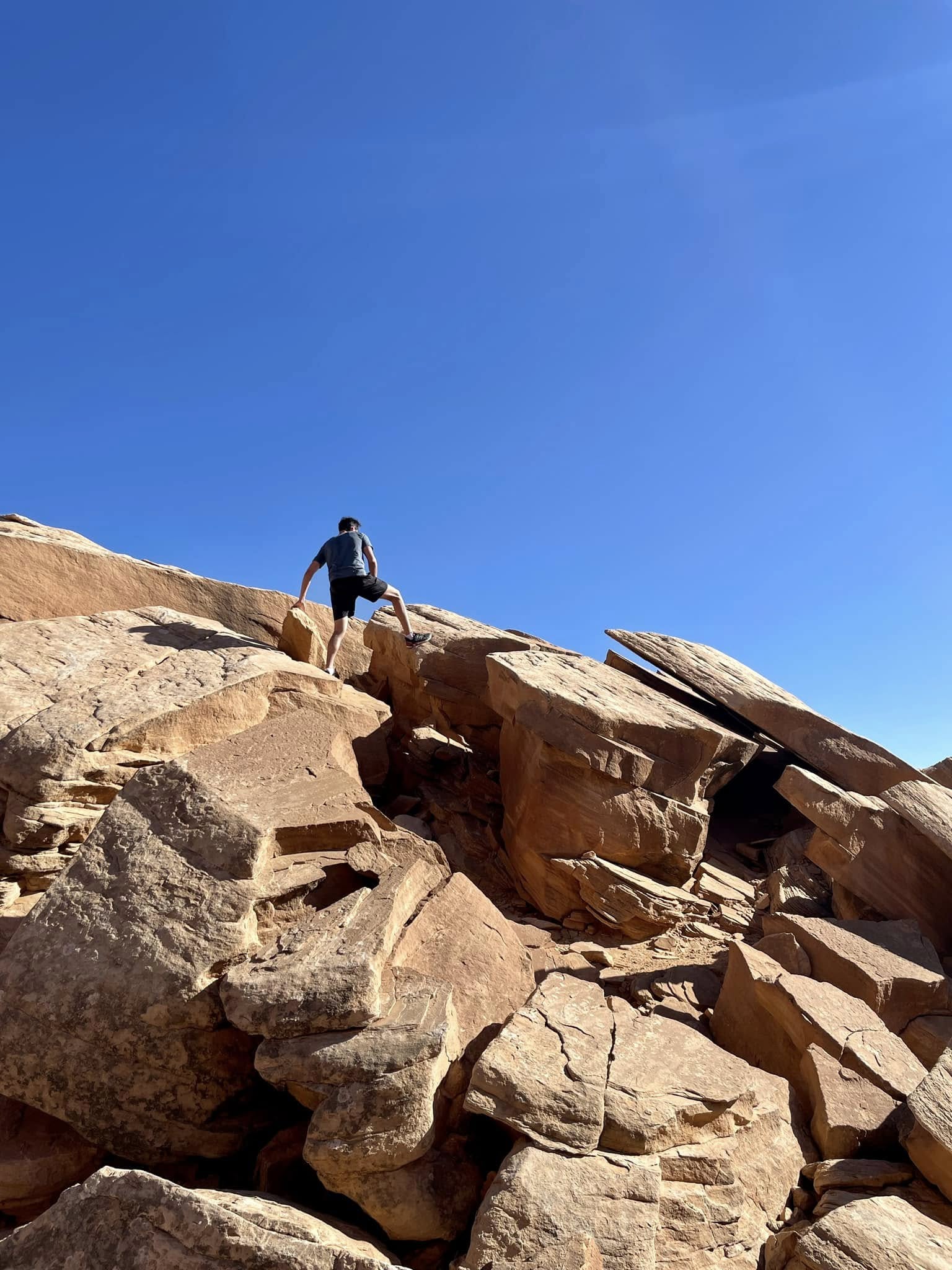
Can’t keep the boy off the rocks!
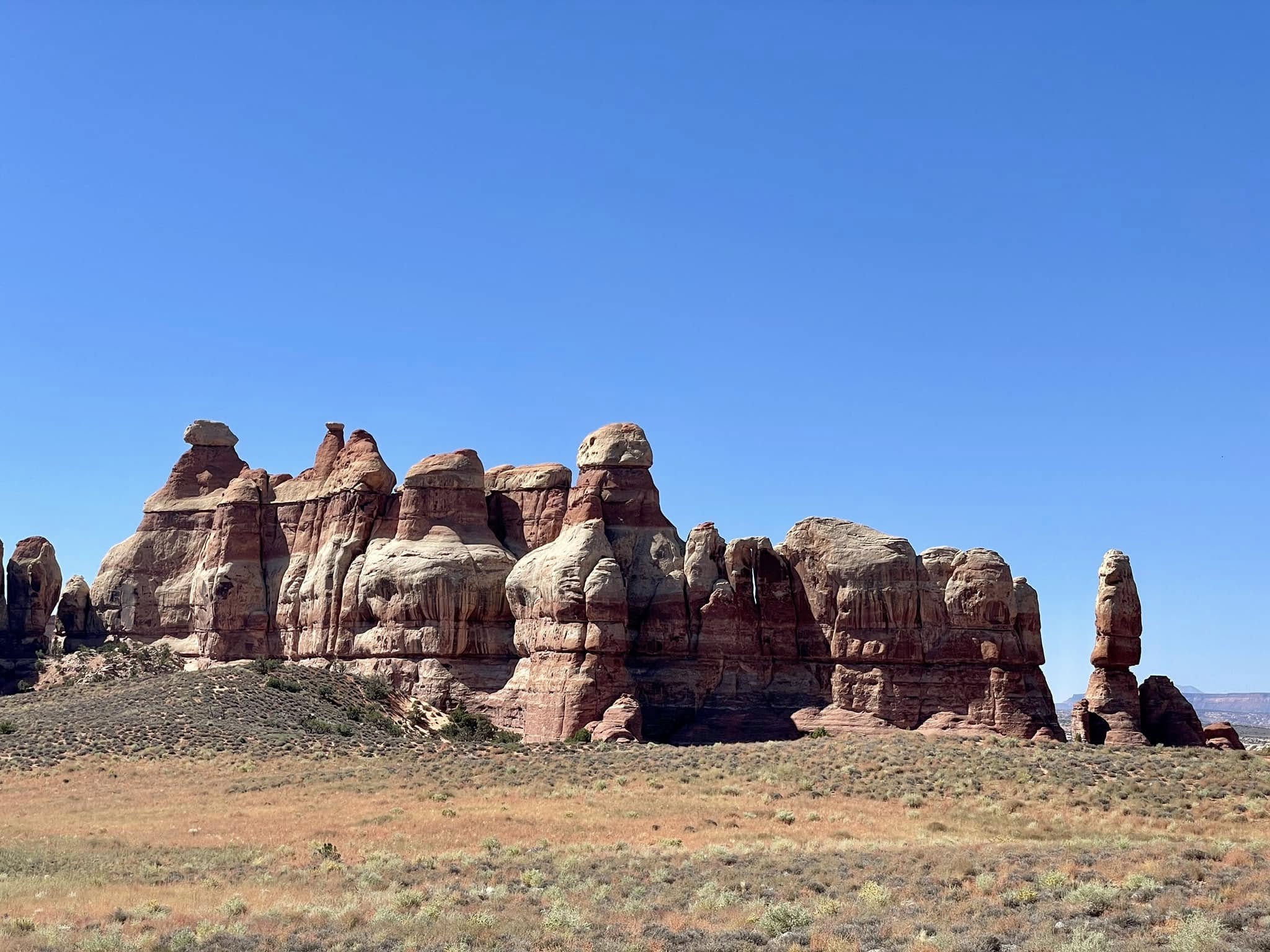
Hoodoos! Now you may say I just told you they were needles but there’s a subtle difference.
Hoodoos are oddly-shaped rock towers in the desert, as short as a human or as tall as a 10-storey building. Hoodoos have a variable thickness, often described as having a "totem pole-like" appearance.
Unlike needles, hoodoos are topped with a harder, heavy capstone which slows the erosion of the lower, softer layers. The contrast gives them their distinctive shapes. Hoodoos are most commonly found in the high plateaus of the Colorado Plateau and in the Badlands.
Like searching for shapes in clouds, you could spend all day finding faces and bodies in the hoodoos.
Paiute Indian lore says that the hoodoos are ancient legend people who were turned into stone by the trickster god Coyote when they misbehaved.
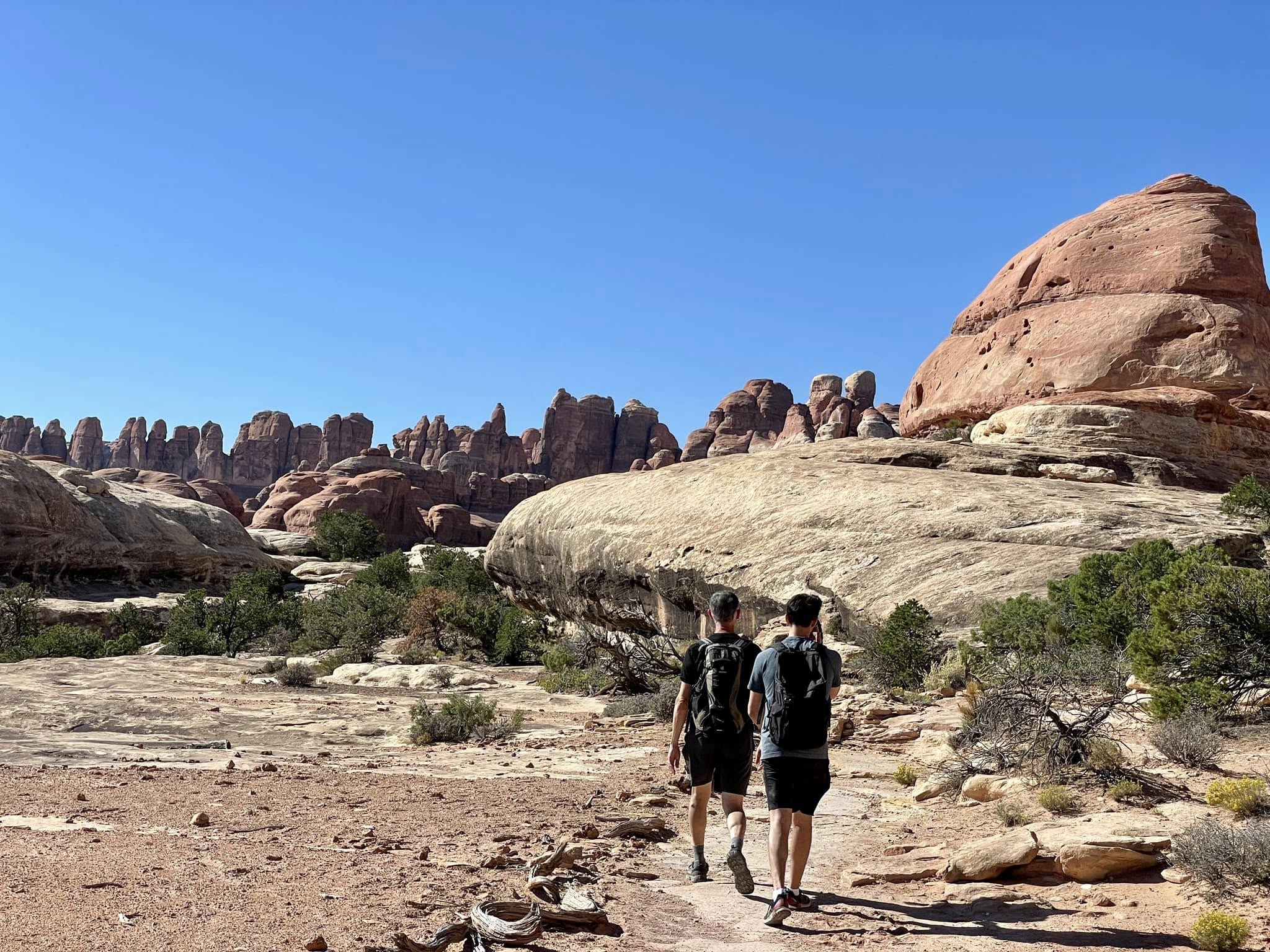
Heading to a perfect collection of needles.
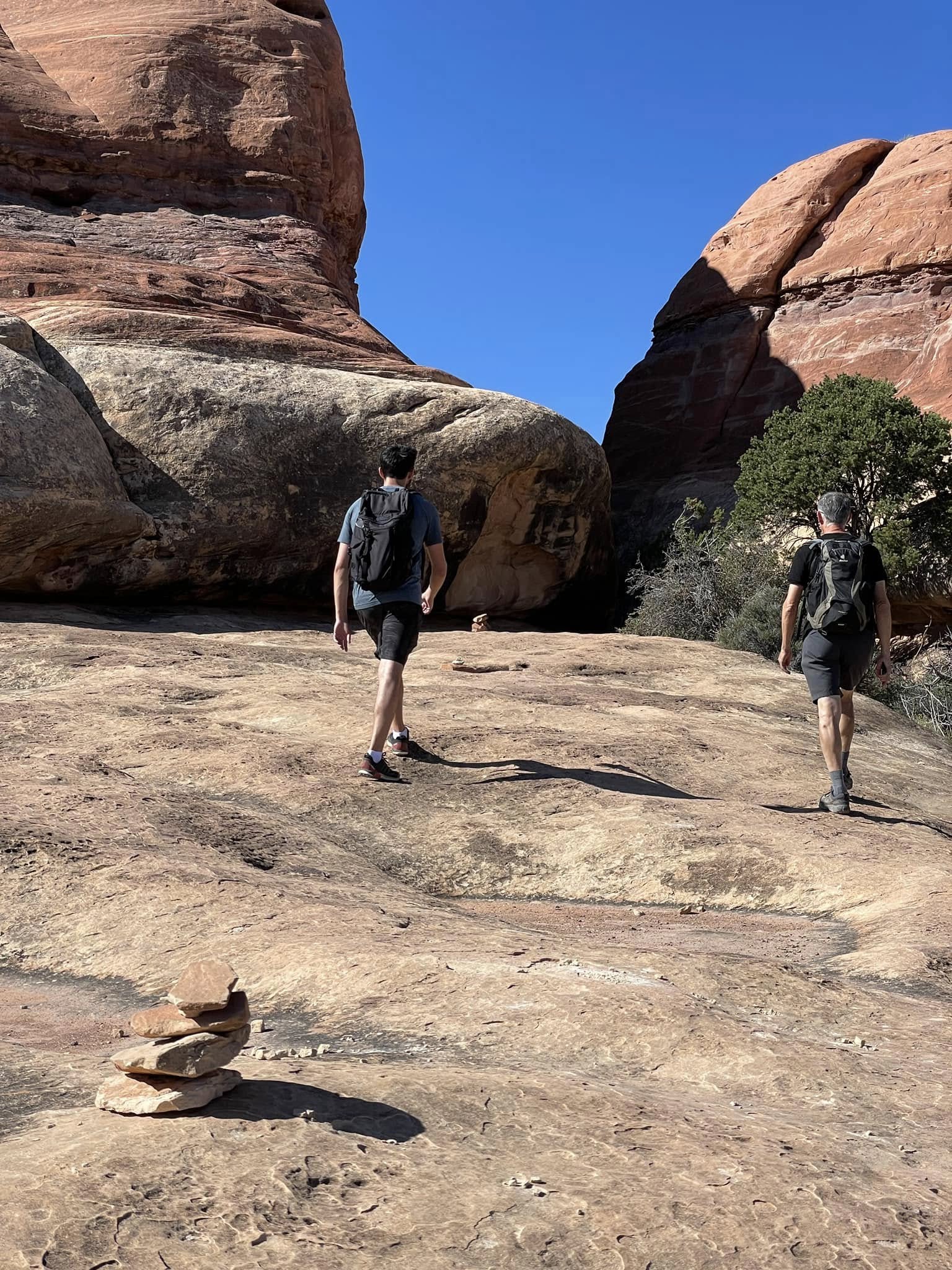
As we started out on the hike, I saw a few little stacks of rocks and thought someone had some fun making little innukshuks. After more and more appeared on the trail, I realized these were little cairns that marked the route.
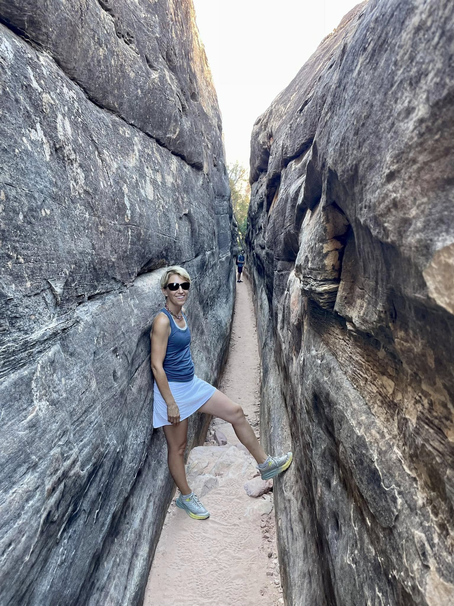
It was nice and cool in this mini slot canyon!
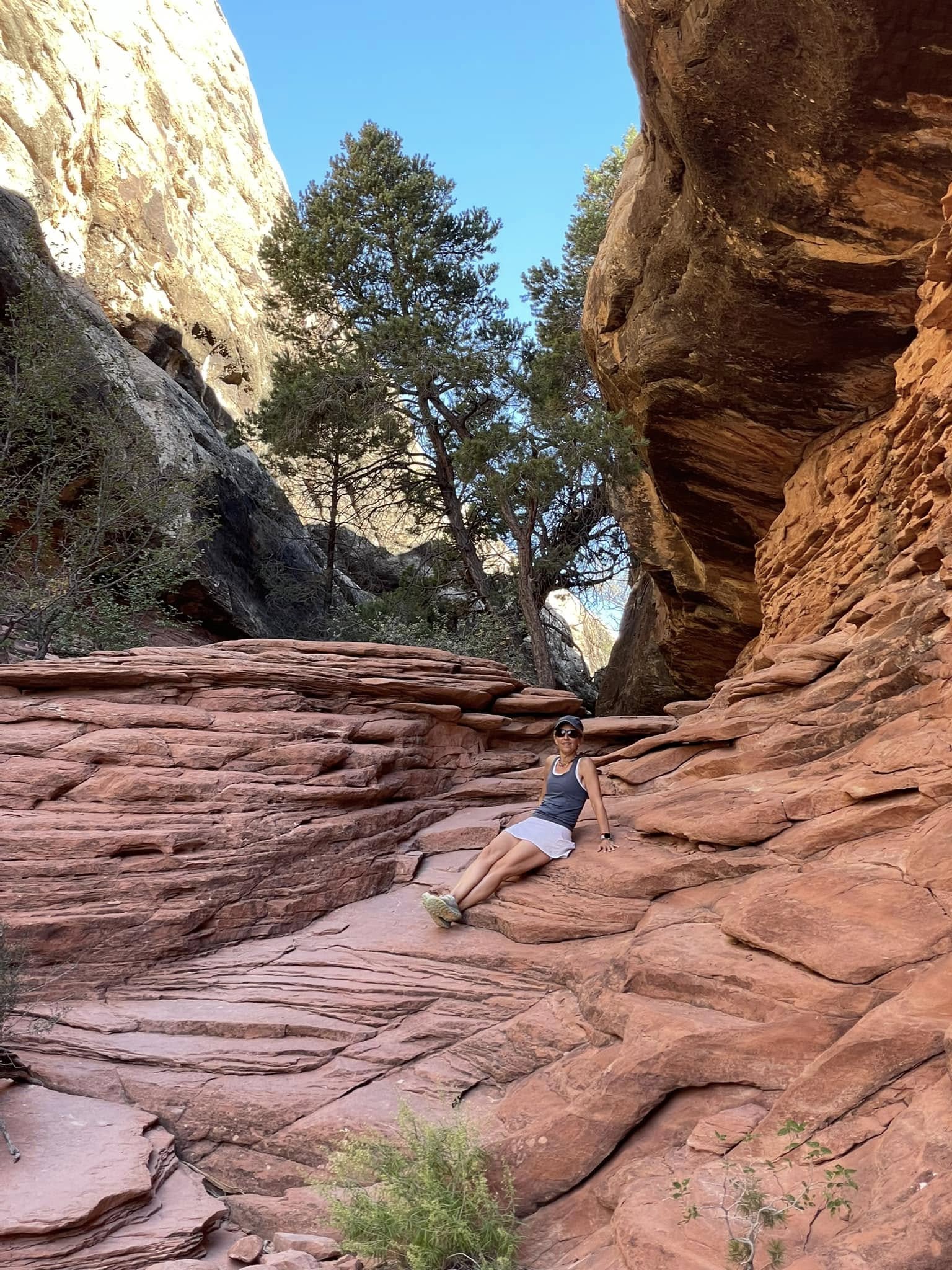
White skirt, not an excellent choice for hiking in a red canyon!
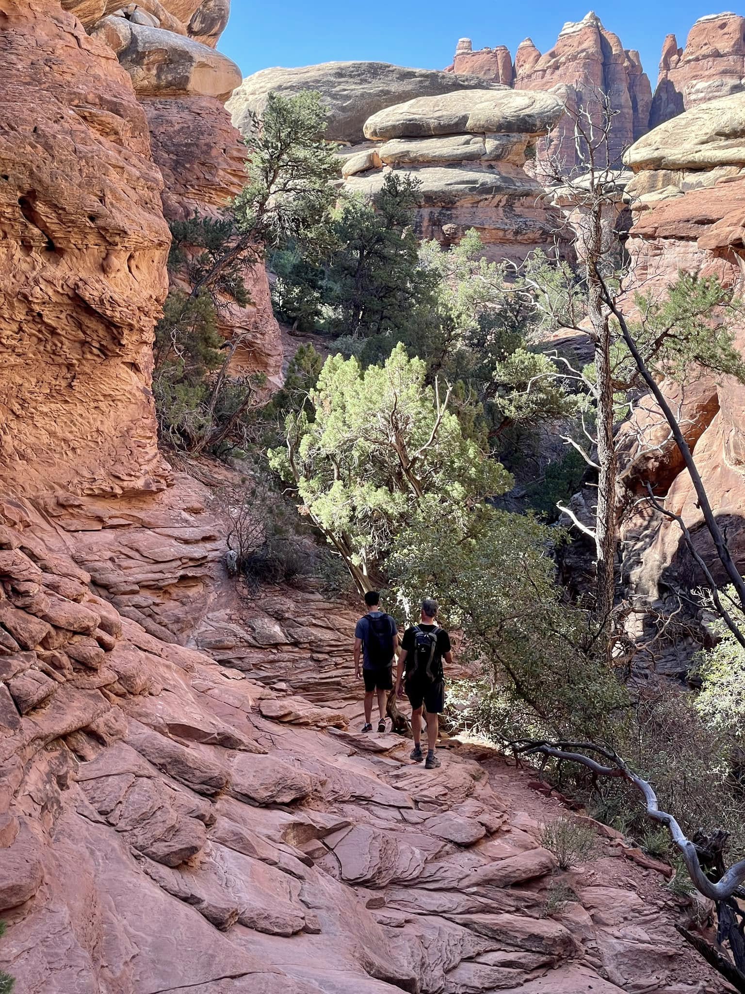
The cracks and fissures in the rock are perfect landing places for seeds. I can’t imagine how these plants and trees get enough water to thrive when there’s an average of 9.2 inches of precipitation per year, mostly from snowmelt. The roots must be crazy deep.
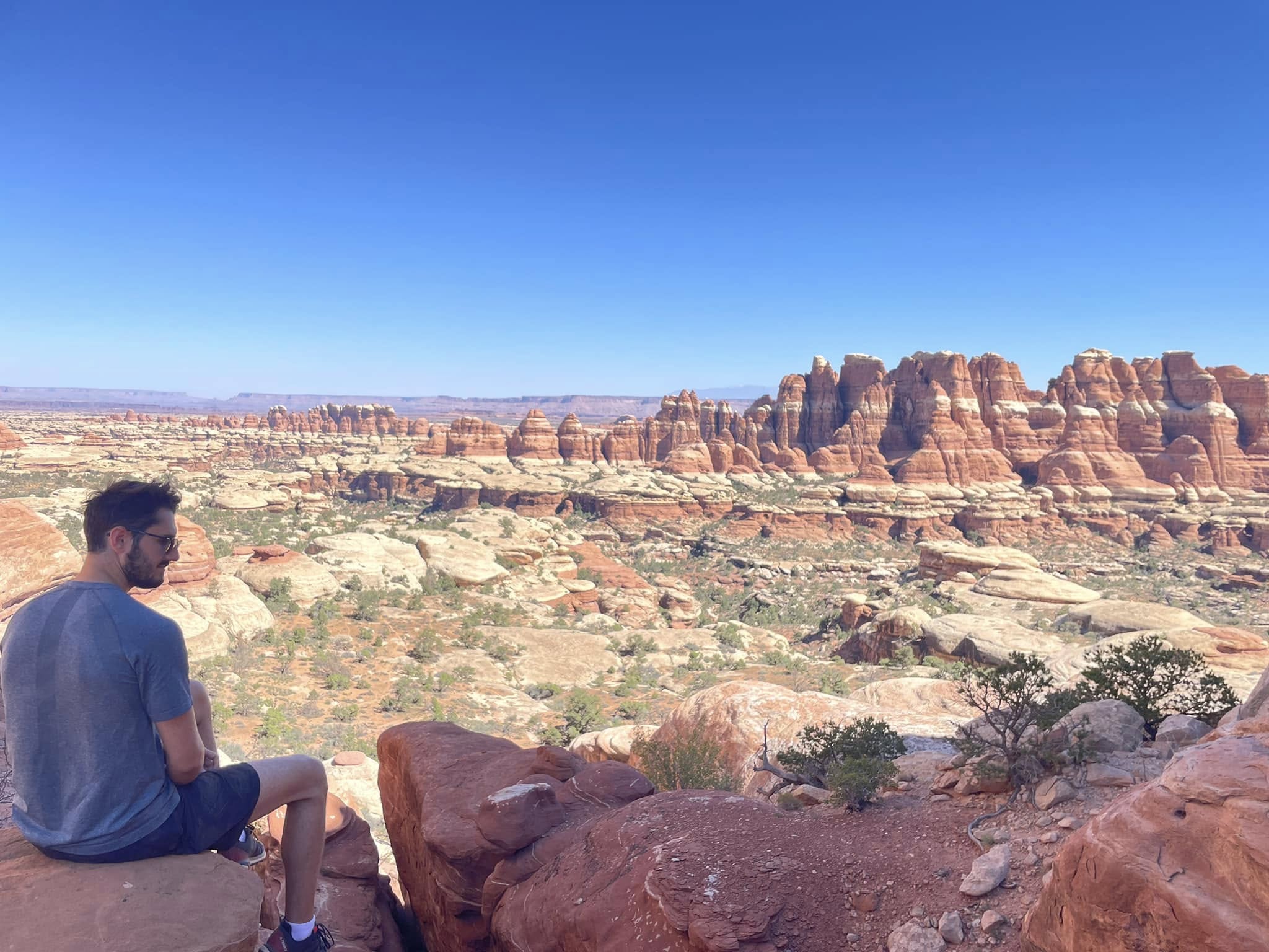
Needles, hoodoos, fins and buttes across the Chesler Park meadow. It feels like we are seeing glimpses of all the layers through time.
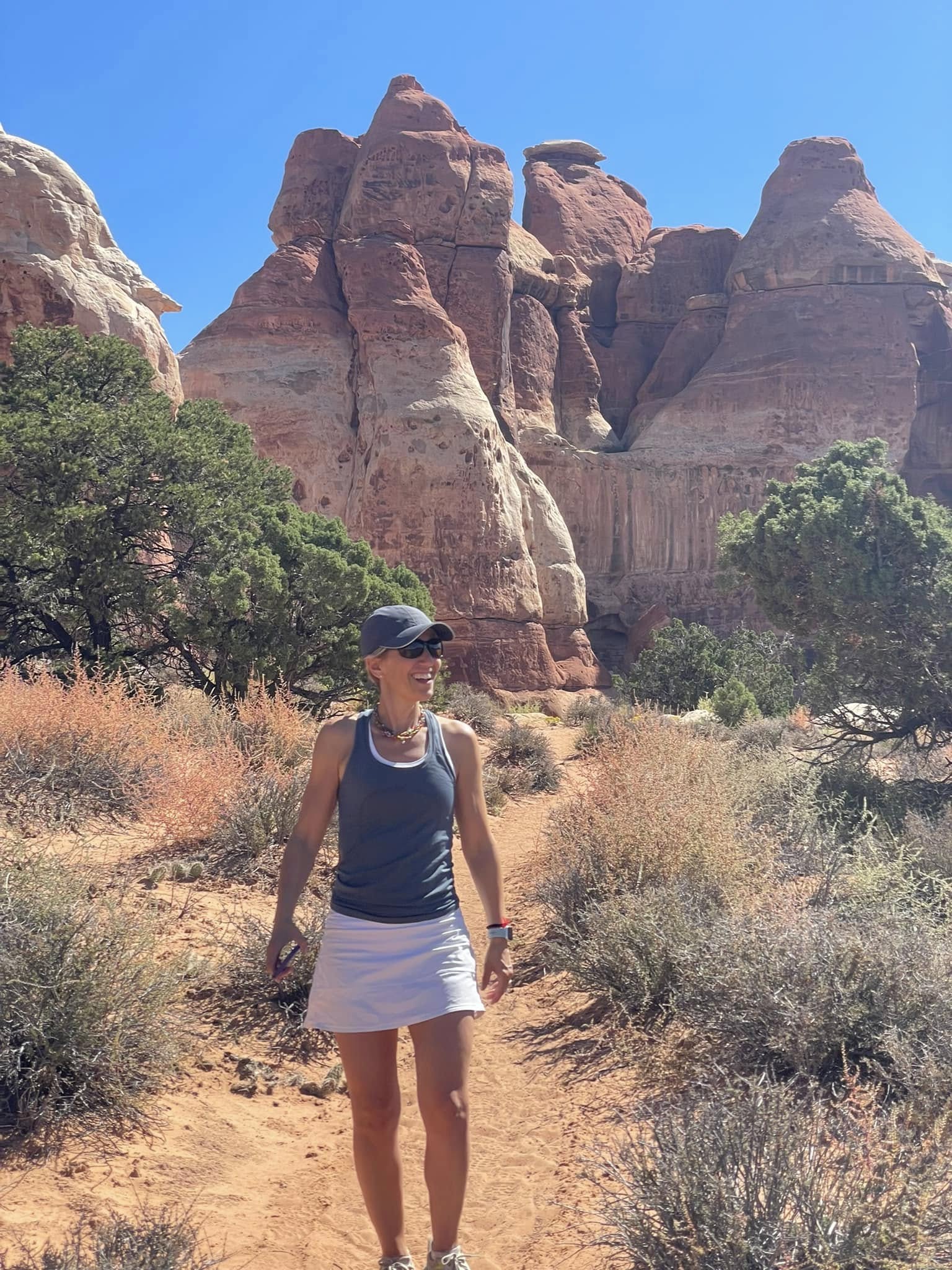
It’s 95F and no shade in the plateau. When we commented about the heat to the occasional local we came across, they informed us that this was not what they call hot. I guess we need a bit more time to acclimate.
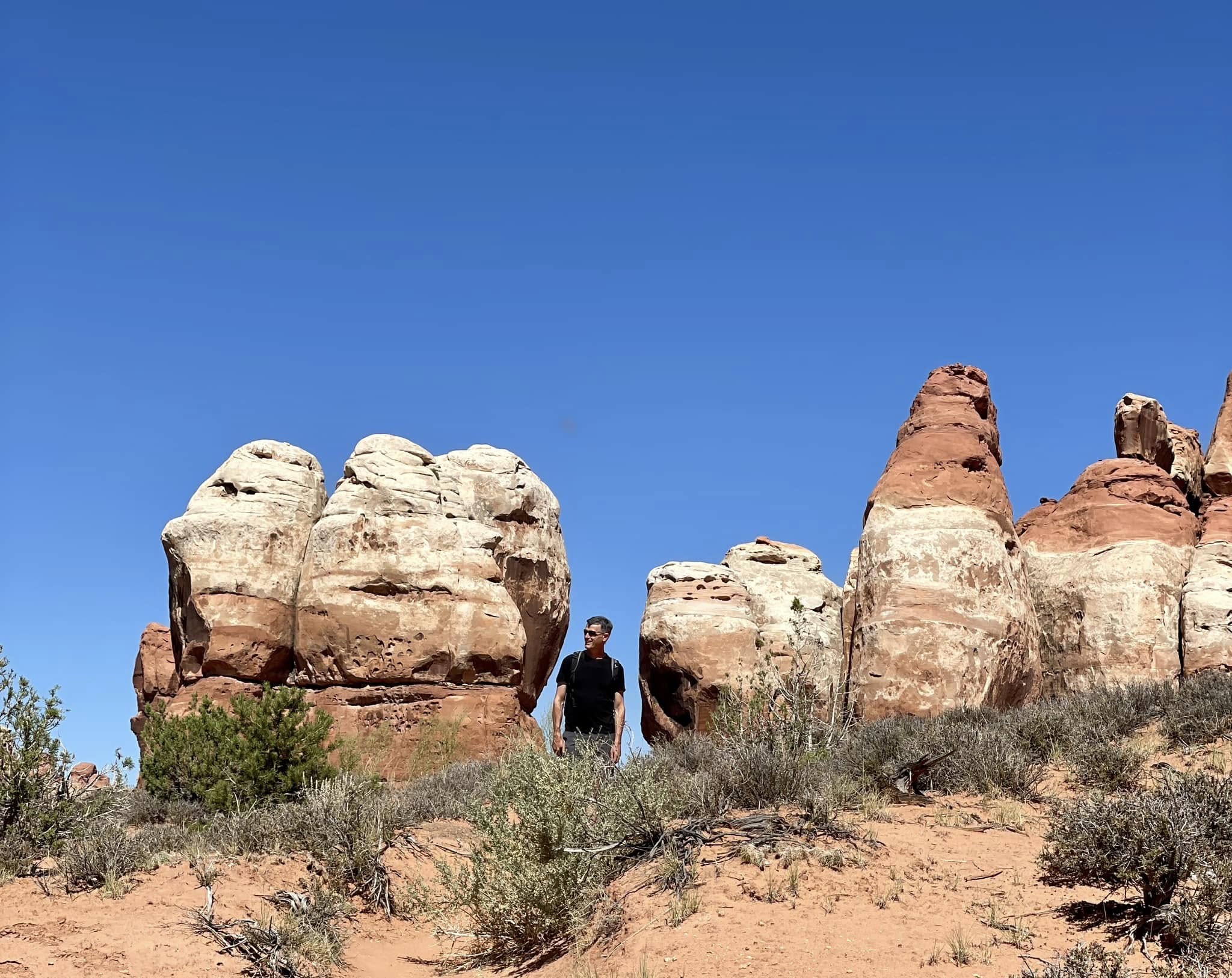
A great example of smaller hoodoos and needles. You can see how the tops erode when not protected by the white capstone.
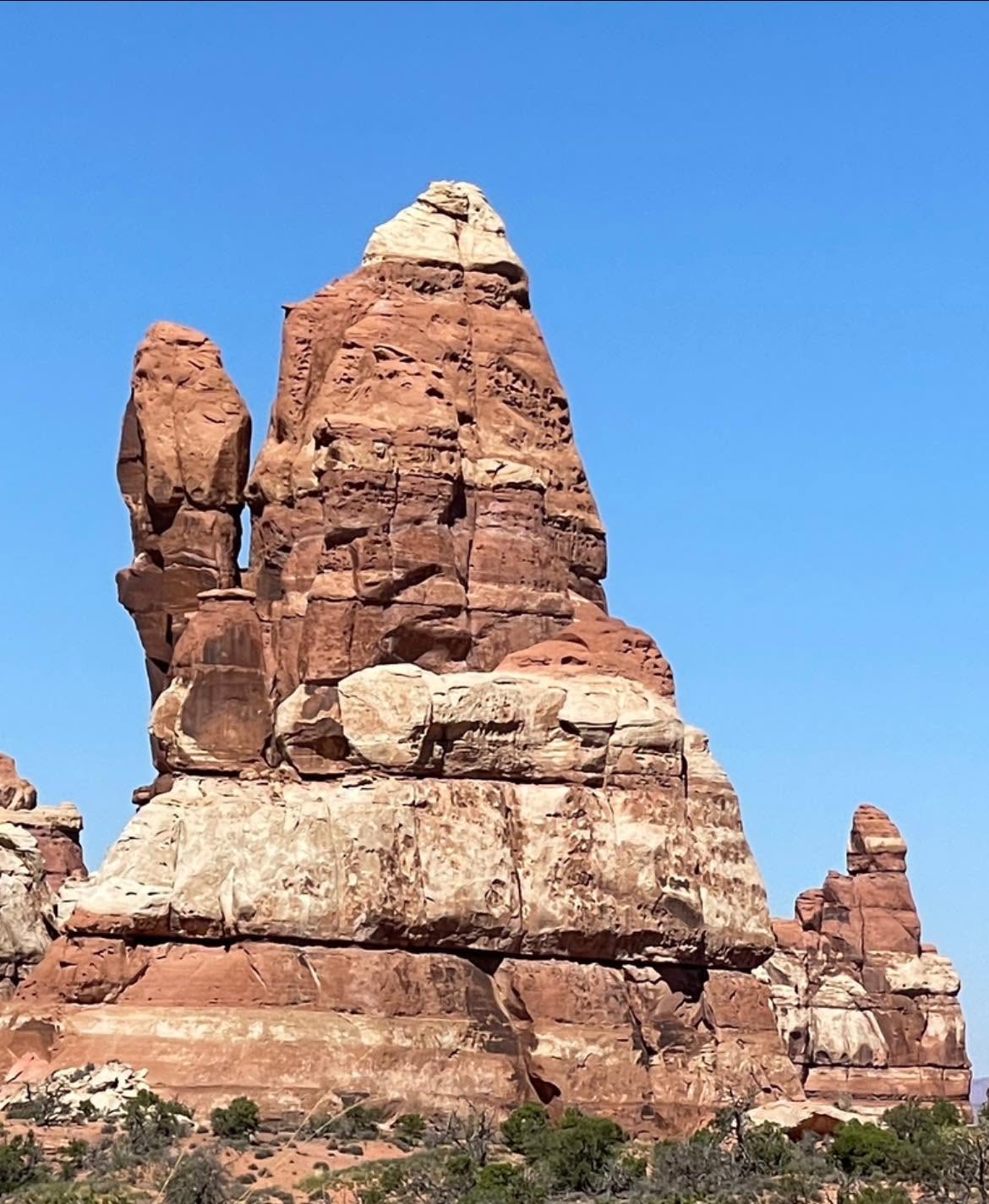
As I approached this hoodoo/needle combo, it made me think of the time my brother told me I should lick a metal pole in winter…My advice to you is don’t do it!
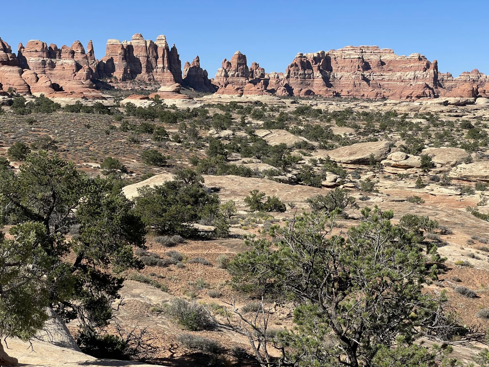
The Chesler Park meadow ringed by the jagged red and white needles.
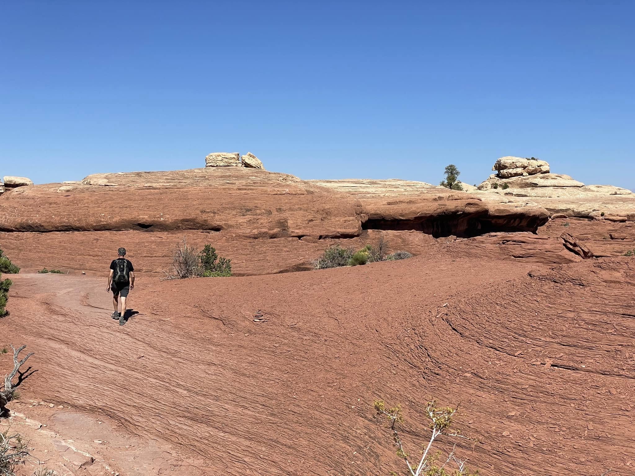
…and he walks off into the blazing sun.
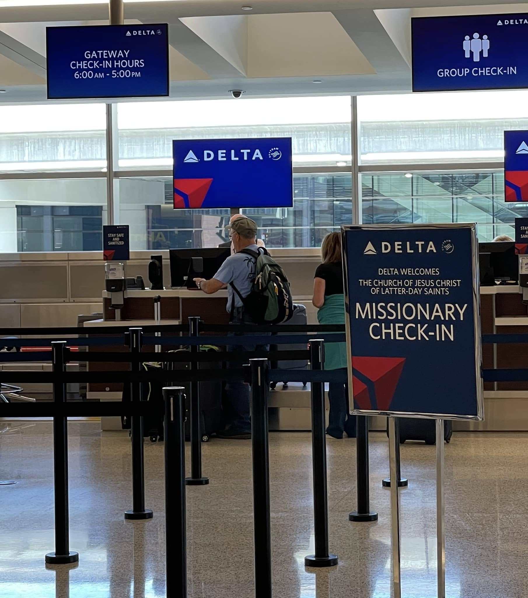
New inductees to the Mile High Club?