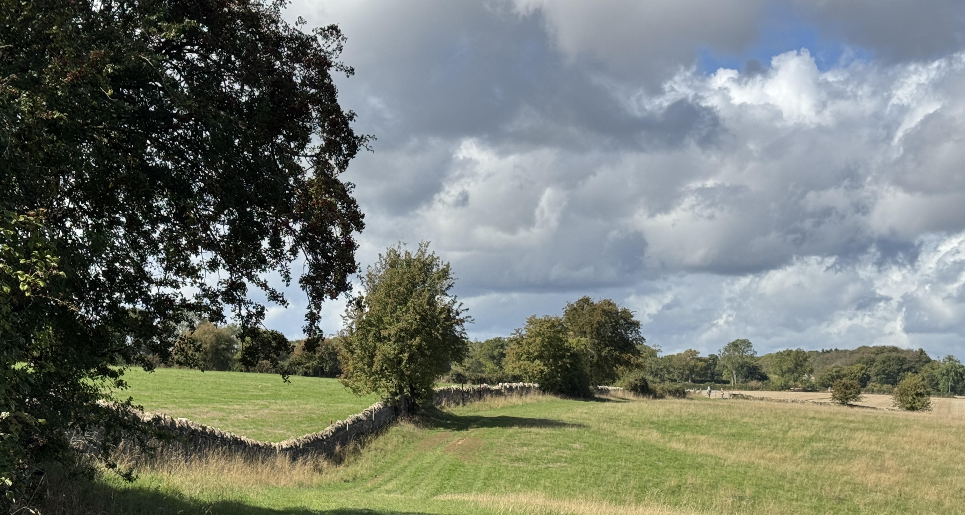
Charming Cotswolds
First time in the Cotswolds with Painswick as our base! Such a lovely collection of quaint villages, fluffy sheep and mud! I’d love to come back…in drier season.
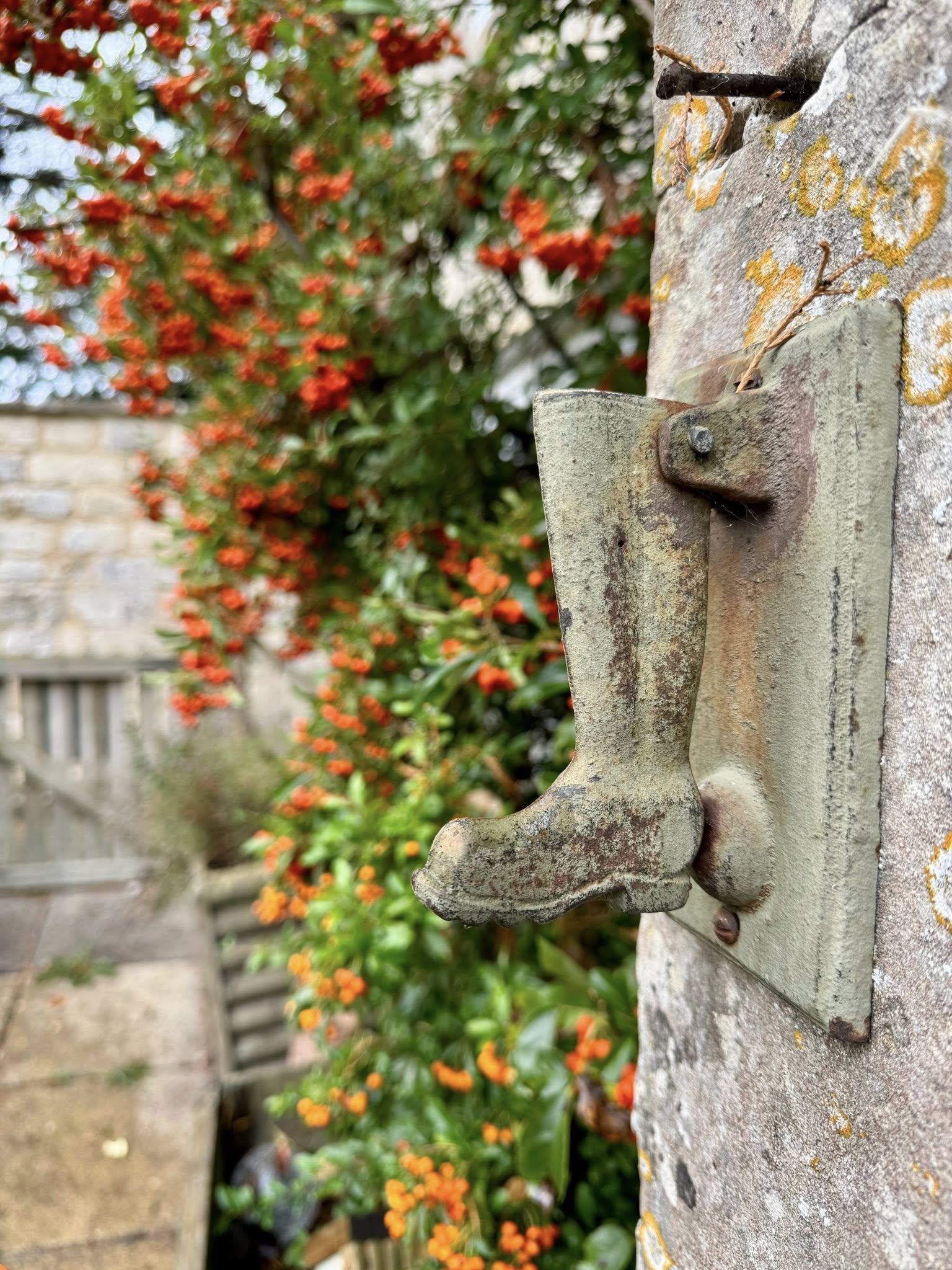
Who knew how prophetic the door knocker on our little cottage would be…could have used a pair of these!
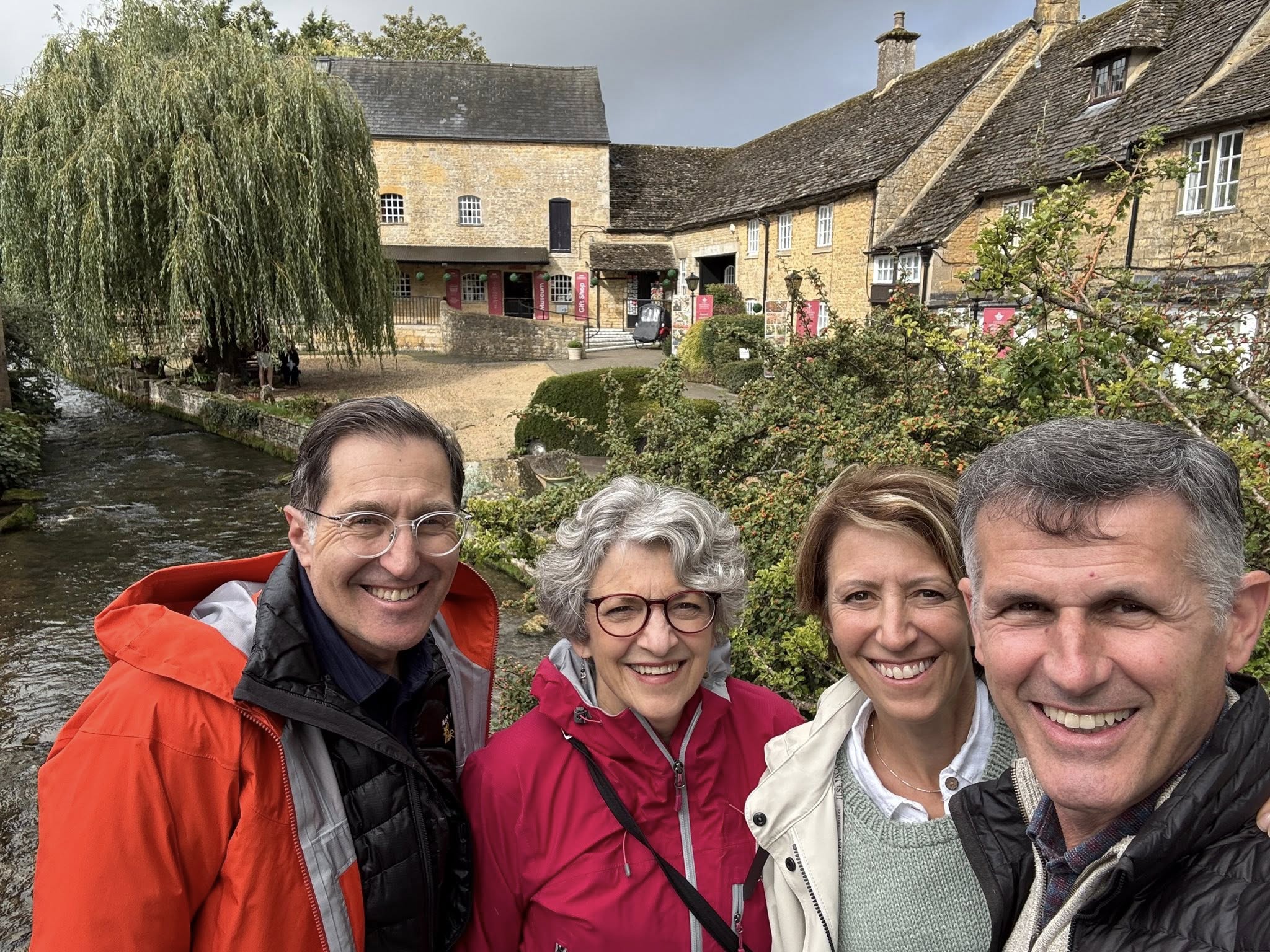
We started our village explorations in Bourton-on-the-Water. Such a pretty town along the Windrush River. Lots of little bridges but it seemed hardly necessary as the water loooked to be only a few inches deep. Note the sky behind; another bit of foreshadowing…
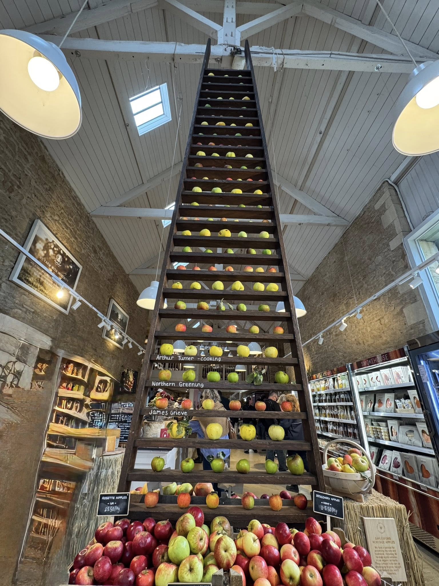
The rain came so we retreated to a farm market. And what a farm market! Daylesford is what Martha Stewart would have created if she lived out here. All the gourmet food, organic produce, meats and fish, wine (some local…English wine?!), spirits and treats you would dream of adorning your table…and of course the furniture, table settings, linens and flowers you need for said table!
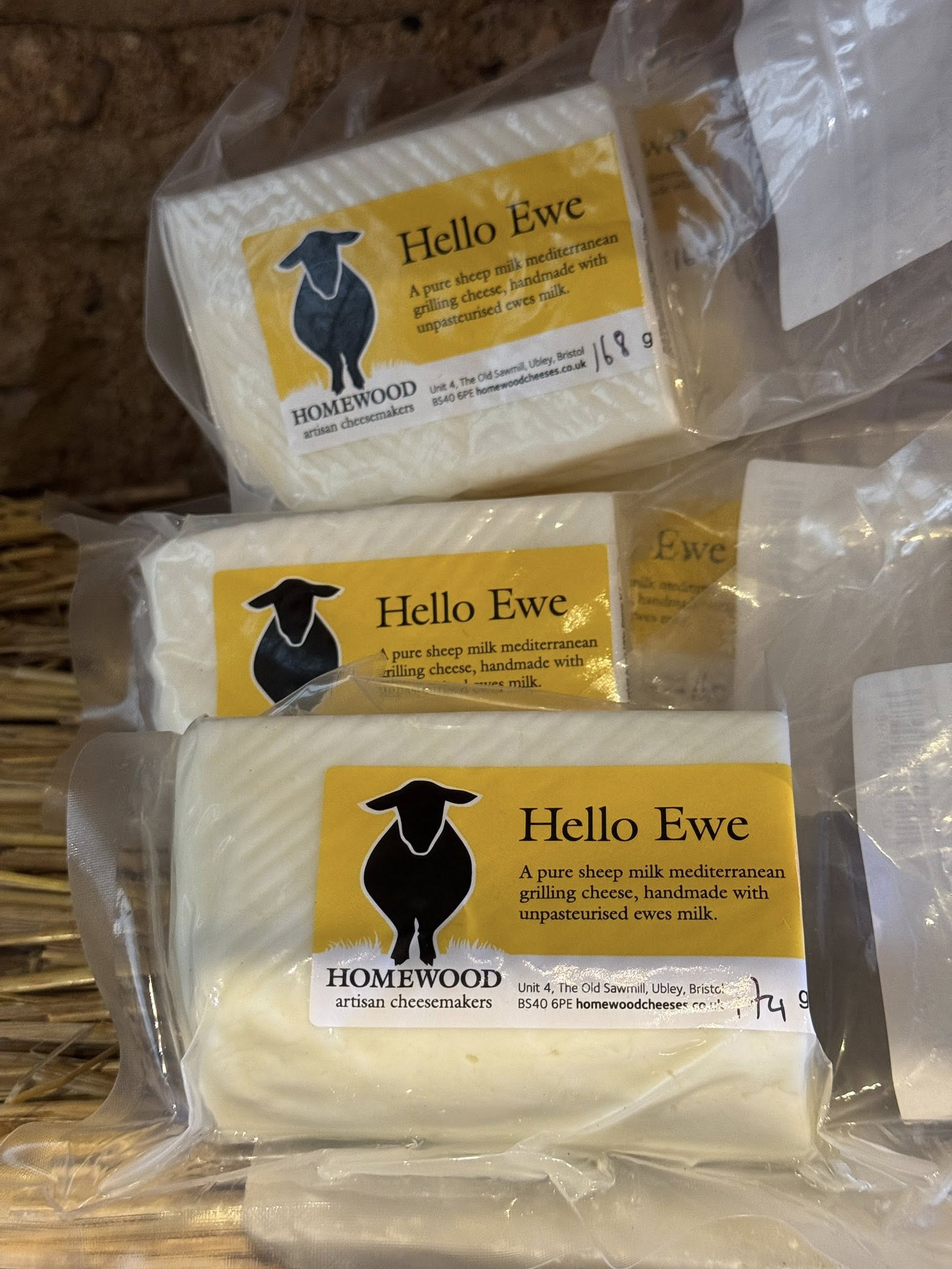
Then there was the cheese room at Daylesford. Cheese from around the world alongside the farm’s own award-winning cheeses. This one was not one of theirs but I loved the name. Who knew this also would fall into the foreshadowing camp.
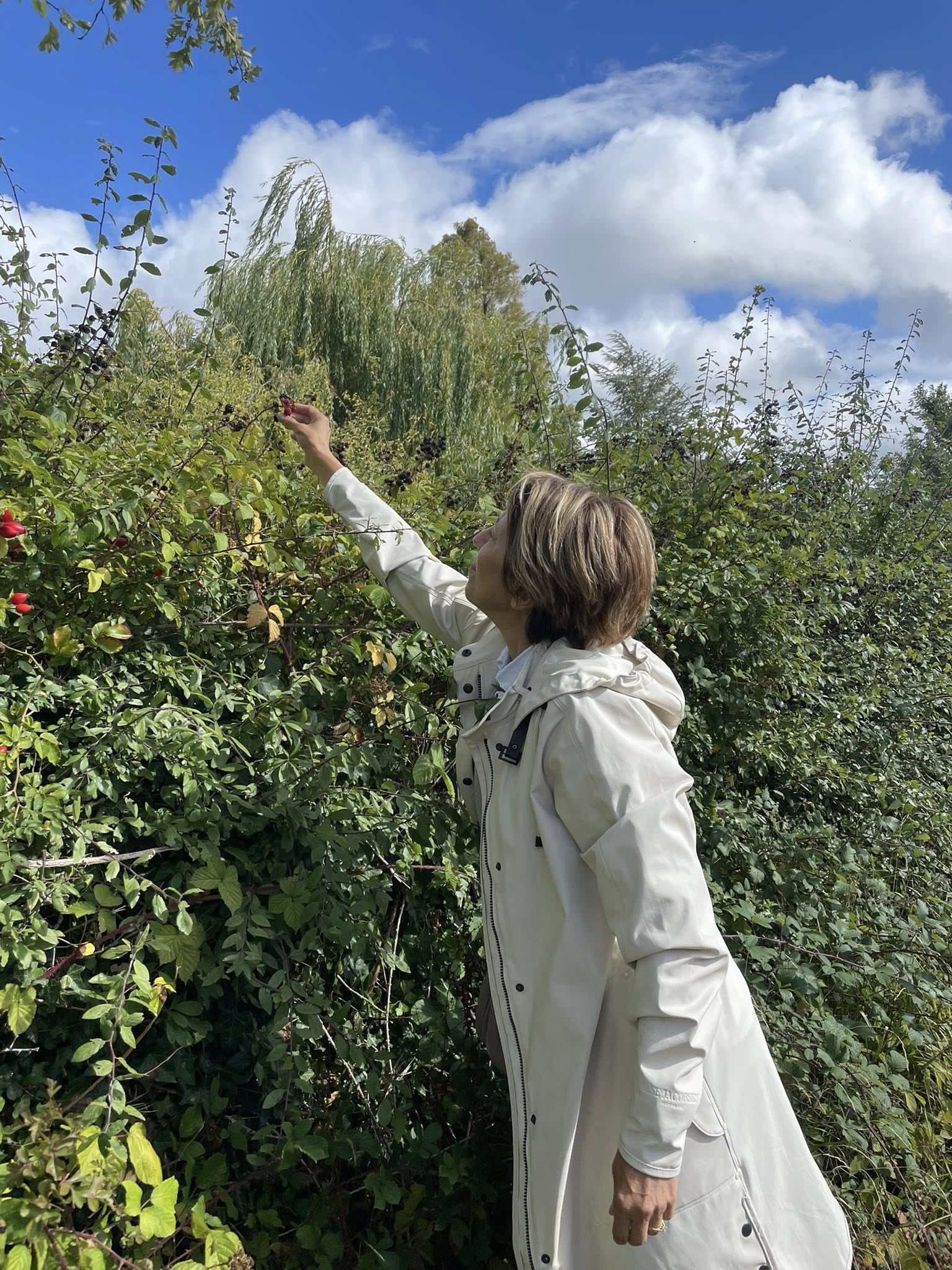
And just like that, it cleared up! Of course we needed to re-energy ourselves with some late-season blackberries growing along our path.
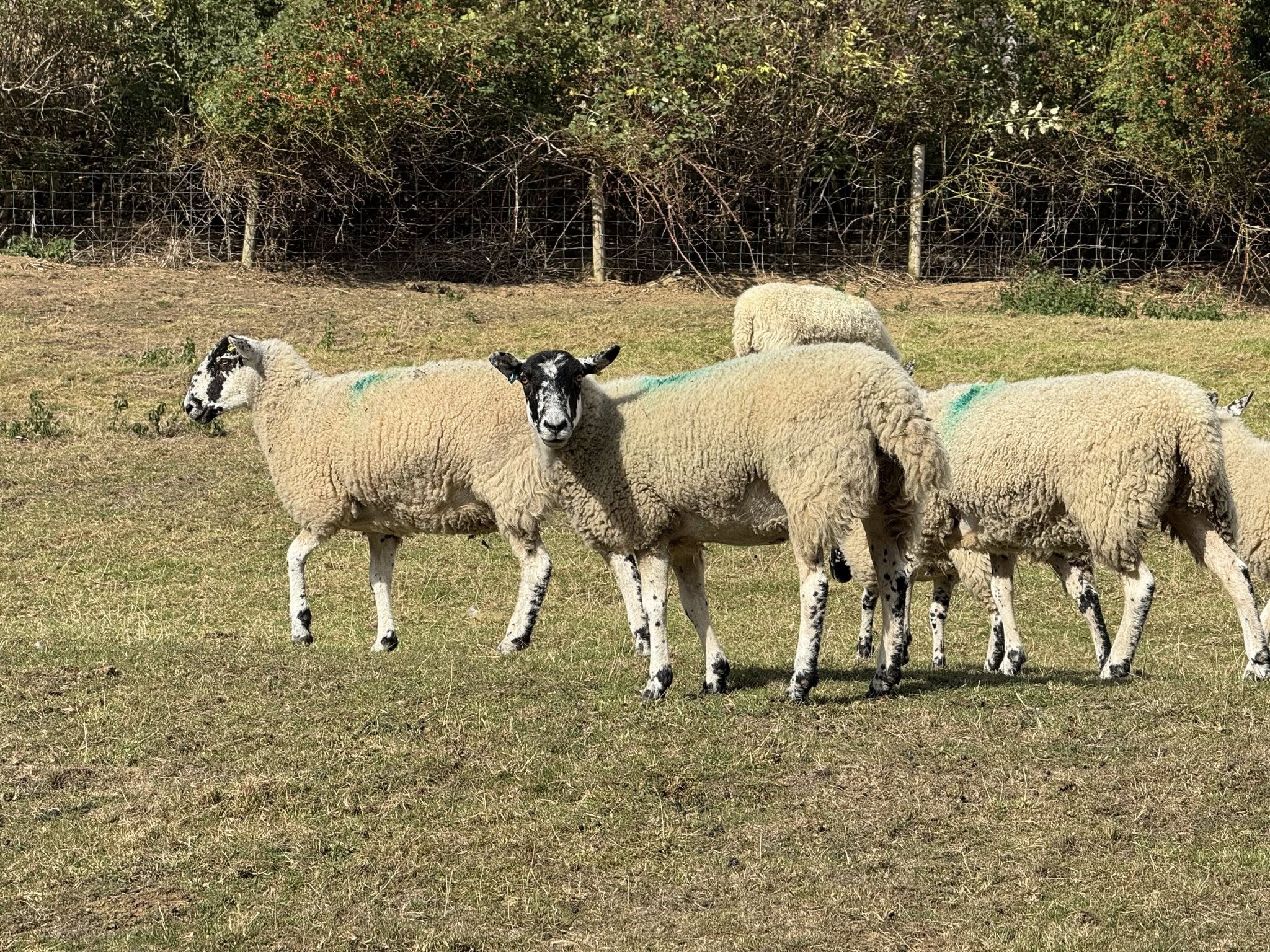
There are hundreds of miles of public rights of way through private property in the Cotswolds. People on foot, bicycles or horses are free to cross through these fields and farmlands, alongside sheep and cows. In fact, farmers are required to leave at least a 1 metre clear path for walkers on footpaths (or 2m for cyclists and horse riders on bridelways).
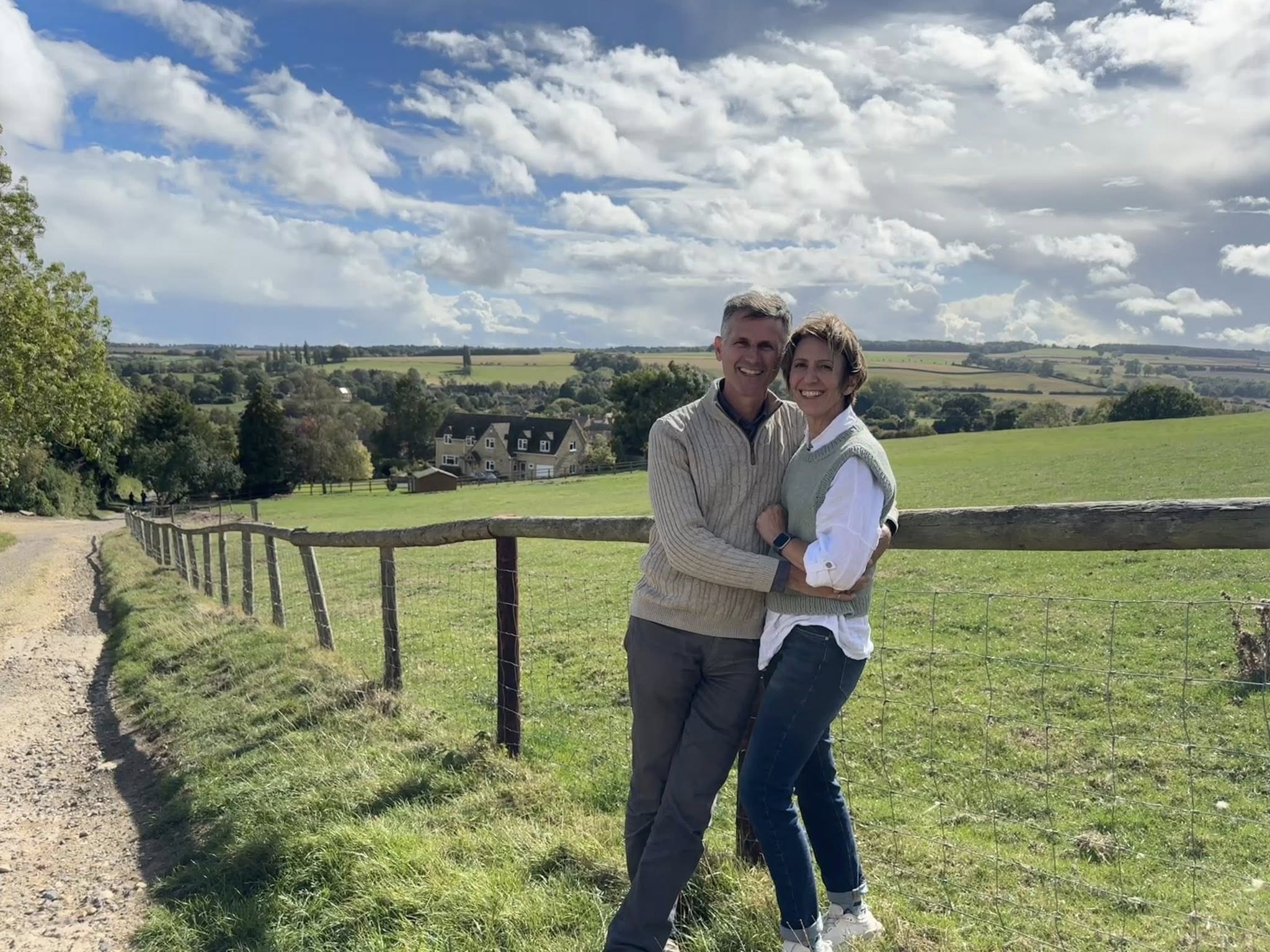
This walk started in Chipping Campden, the beginning of the 164km Cotswolds Way which ends in Bath. “Chipping” comes from old English meaning market. Town’s starting with the word Chipping, were designated market towns in the Doomsday Book. We came across references to the Doomsday Book quite a lot. While to me doomsday sounds like the horrible end of something, it was actually the start of something. The book was a survey of all of England commissioned by William the Conqueror in 1085 to record who owned land, how it was used and what it was worth. William wanted the lay of the land of his new kingdom for taxation and control purposes.
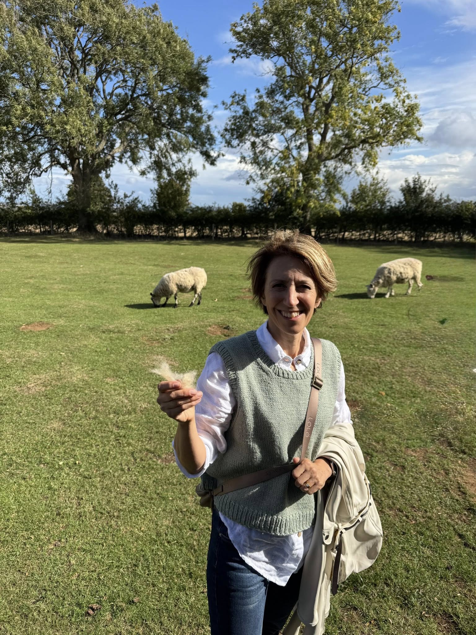
As a market town, Chipping Campden was known for its wool trade…no kidding! Some unfortunate creature lost a bit of its wool on a bramble. This walk took us to Dover’s Hill, the site of the annual Cotswold Olimpicks a sporting event held in this very spot since 1612. Next year will be the 414th anniversary. Some believe it to be the precursor to the modern Olympic Games. If so, we can be thankful that the sports have been updated. At this Olimpicks, spectators can be entertained by the signature shin-kicking event where two players hold each other by the shoulders and try to kick their opponents shins to force them to the ground.
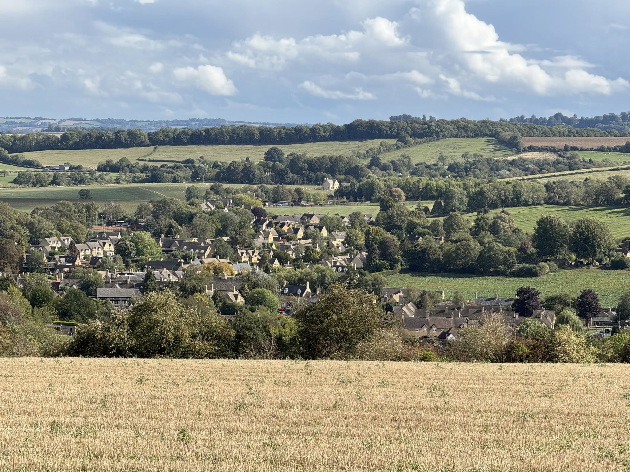
Overlooking Broad Campden, Chipping Campden’s smaller neighbour.
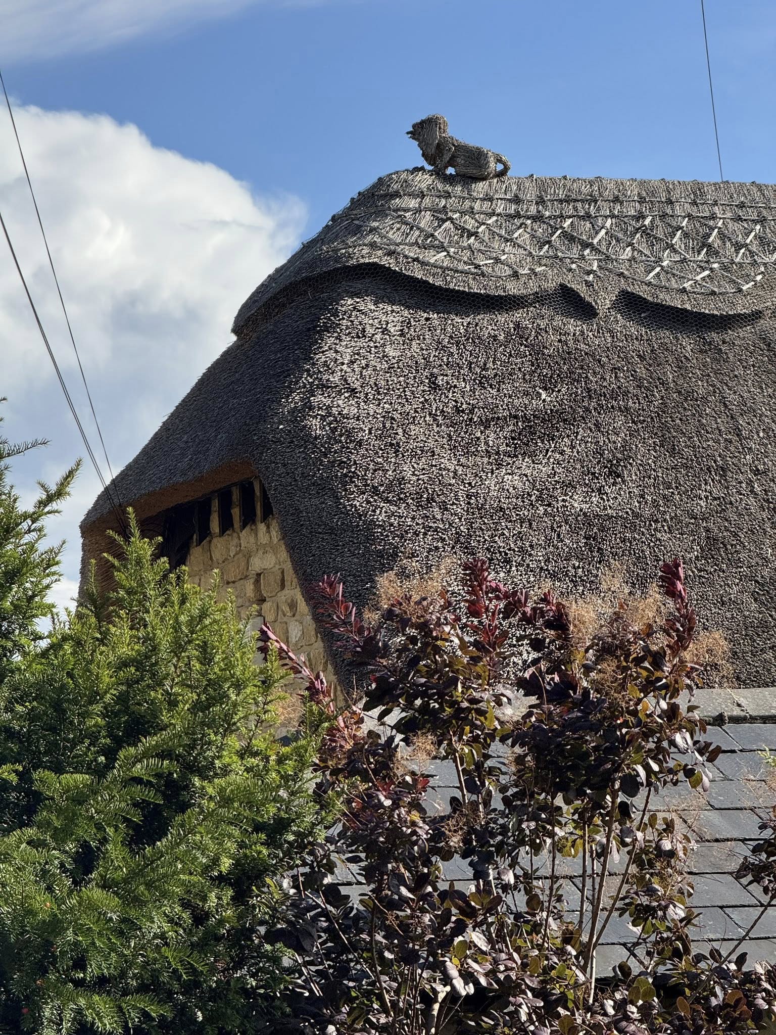
Chipping Campden takes its thatched roofs very seriously.
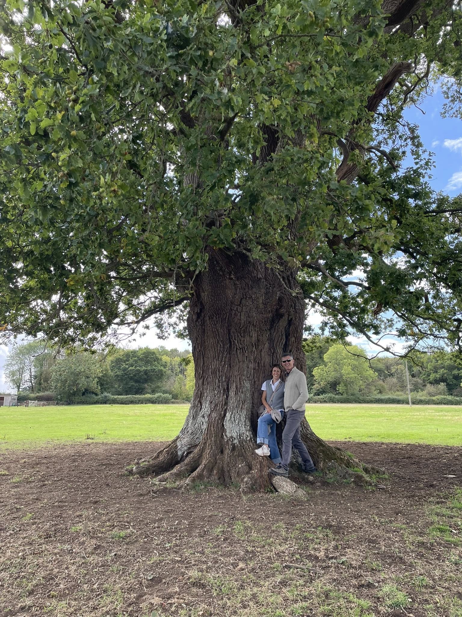
A new day with blue skies. We are defying the forecast! How lucky! As if! The rain came and we were completely unprepared.
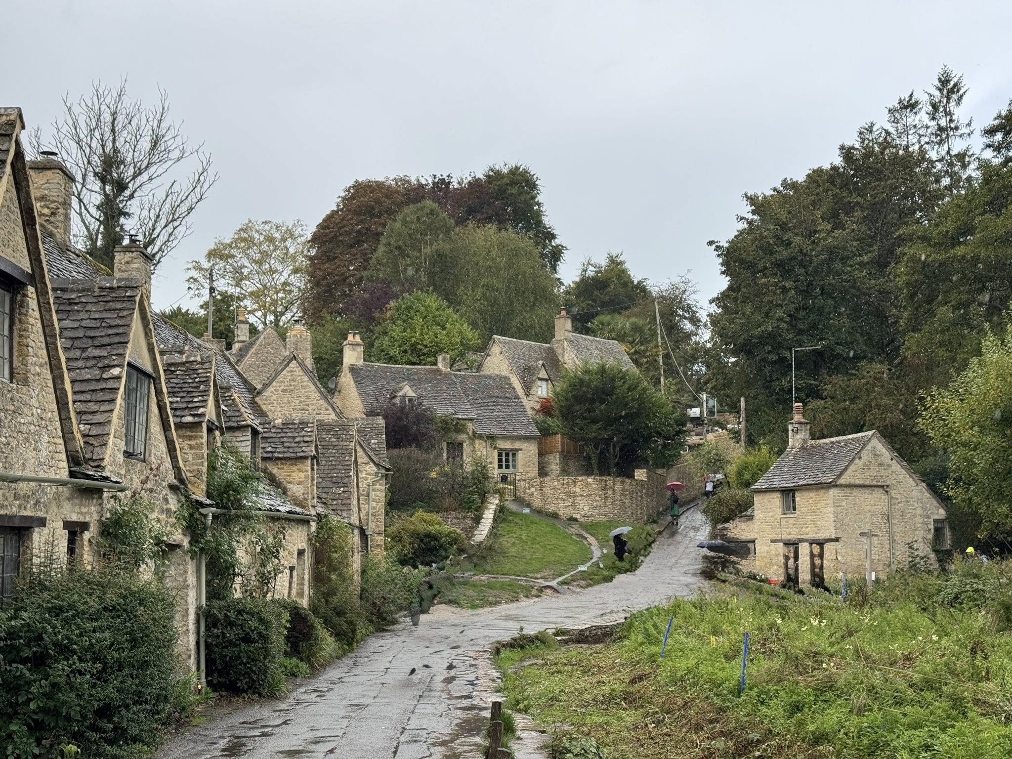
The rain set in and we walked as fast as we could to Bibury where we found the charming stone houses of Arlington Row. This row of cottages was built in 1380 as a wool store and was then converted into weaver’s cottages in the 17th century (it took them a while to figure out vertical integration). This is one of the most iconic spots in the UK and is the image on the inside cover of the British passport. After taking some time to get thoroughly wet taking pictures, we took refuge in a tea shop. As seems to be typical here, the rain stopped as quickly as it started and blue skies rolled in.
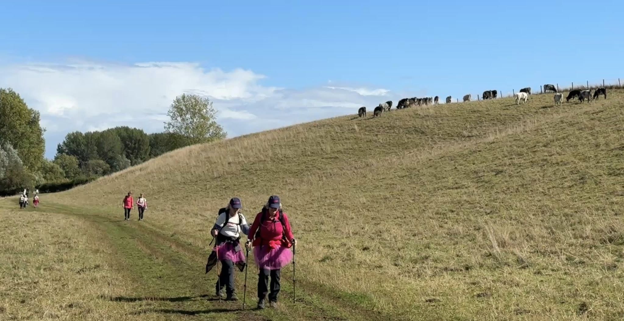
We continued on our way through cow fields dodging the mud and manure, passing group after group of walkers, some decorated with tutus and sparkles. Turns out this was the annual CoppaTrek, a fundraiser for the youth-focussed breast cancer awareness organization, CoppaFeel. The groups we crossed paths with were walking a full marathon (42km). At this point in the cow field, they were about 30km in. This year, there were 645 trekkers who raised over £453,000.
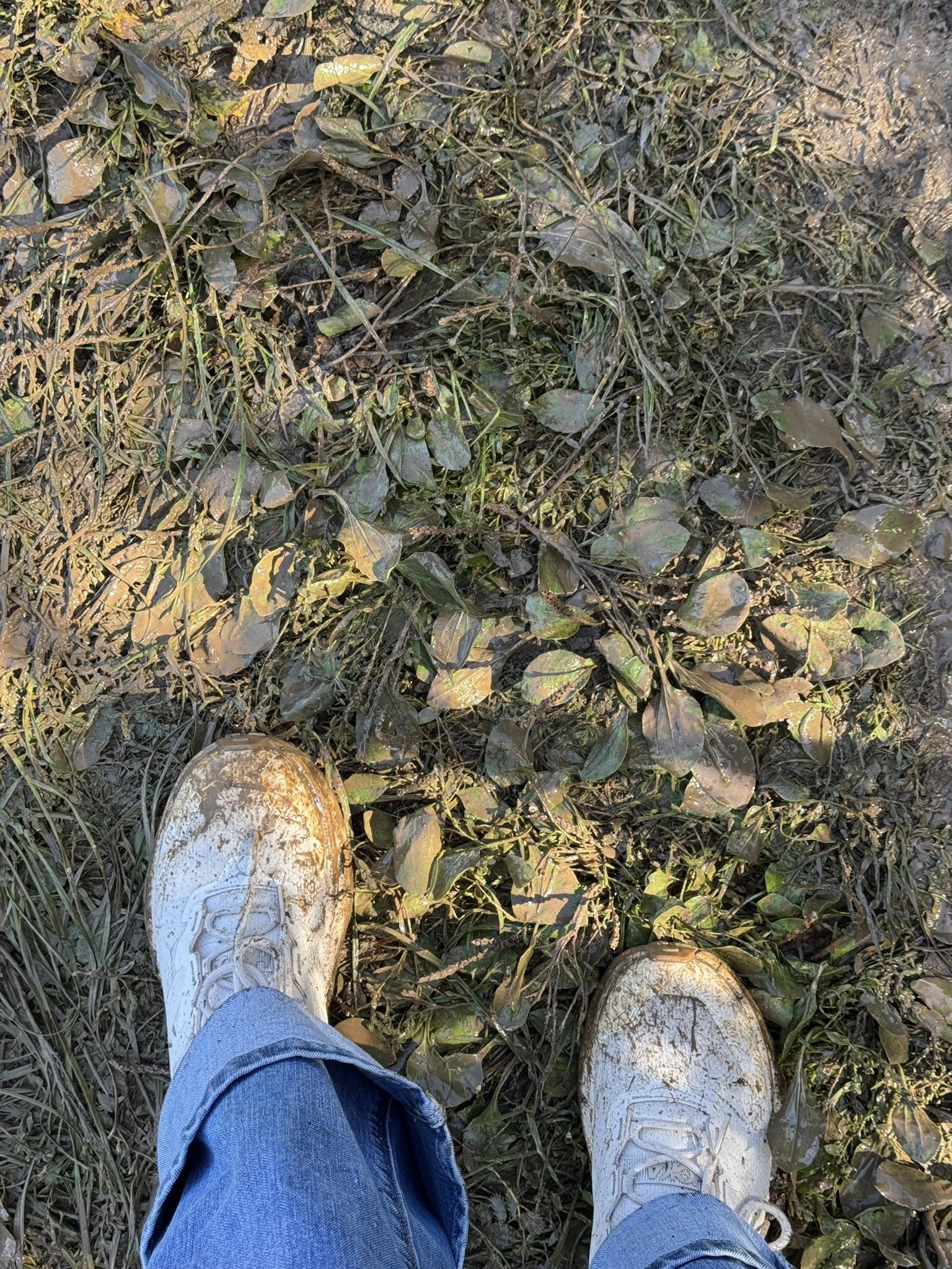
This was a footwear-fail day.
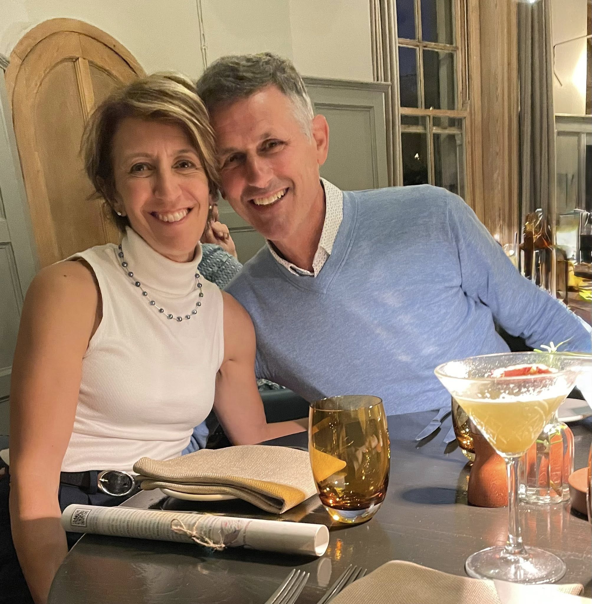
We cleaned up after the wet and muddy day and had a fabulous last Cotswolds dinner at the lovely Painswick Hotel.
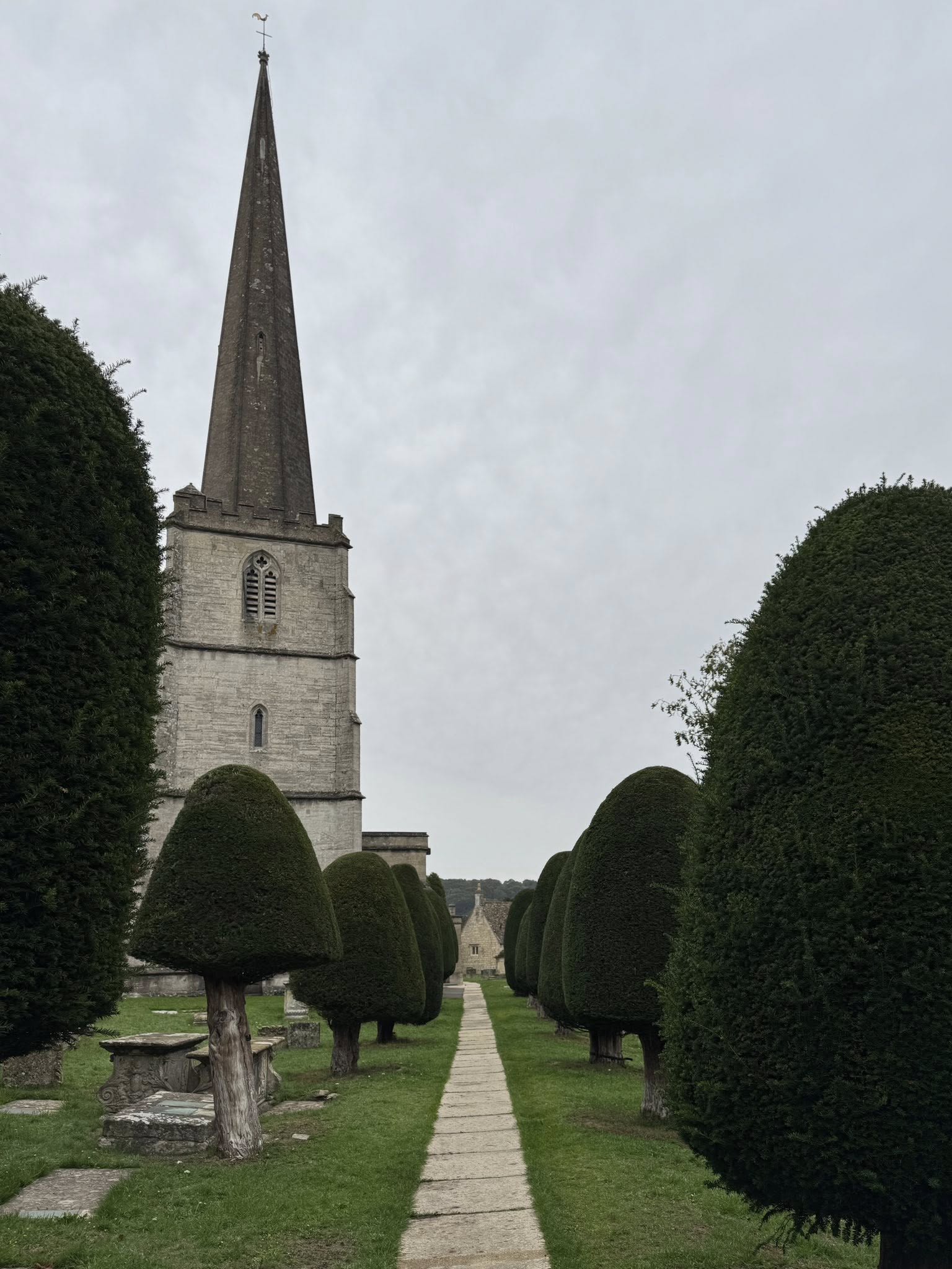
Painswick won the honour of being the most beautiful village in the Cotswolds in 2025. They are all so pretty so I imagine the baton is passed each year from one lovely village to the next. Painswick has had a church since Norman times, with this one having been rebuilt in 1377, enlarged in 1480, and adorned with a spire in 1632 which collapsed after a lightning strike on 1883 (who thought a church spire being the tallest thing in town was a good idea). But here she still stands, surrounded by 99 yew trees. They will hold at 99 as legend has it that if there is a 100th tree, the devil will pull it out.
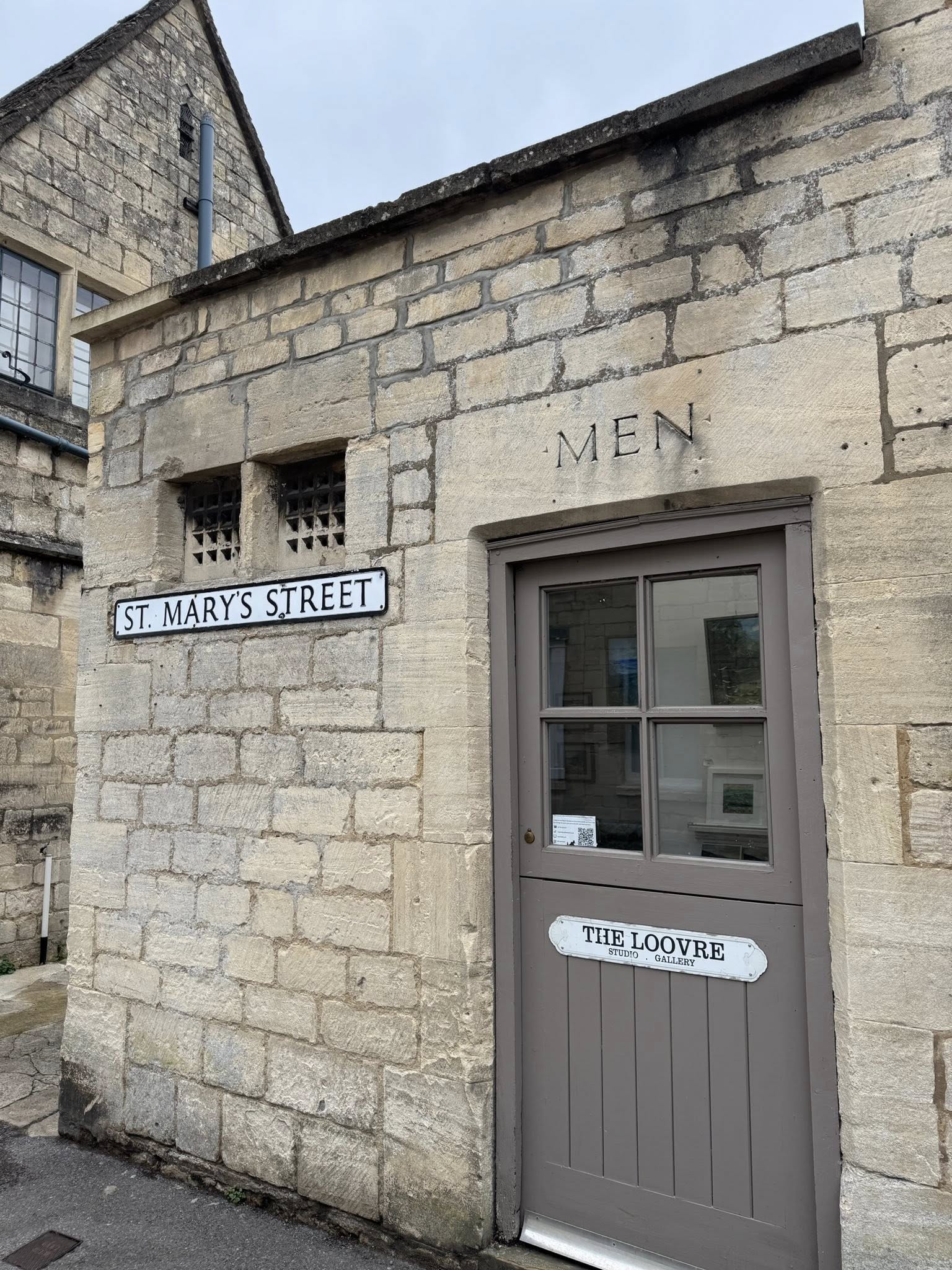
The little art gallery, presumably in what was once a men’s room. Love the name!
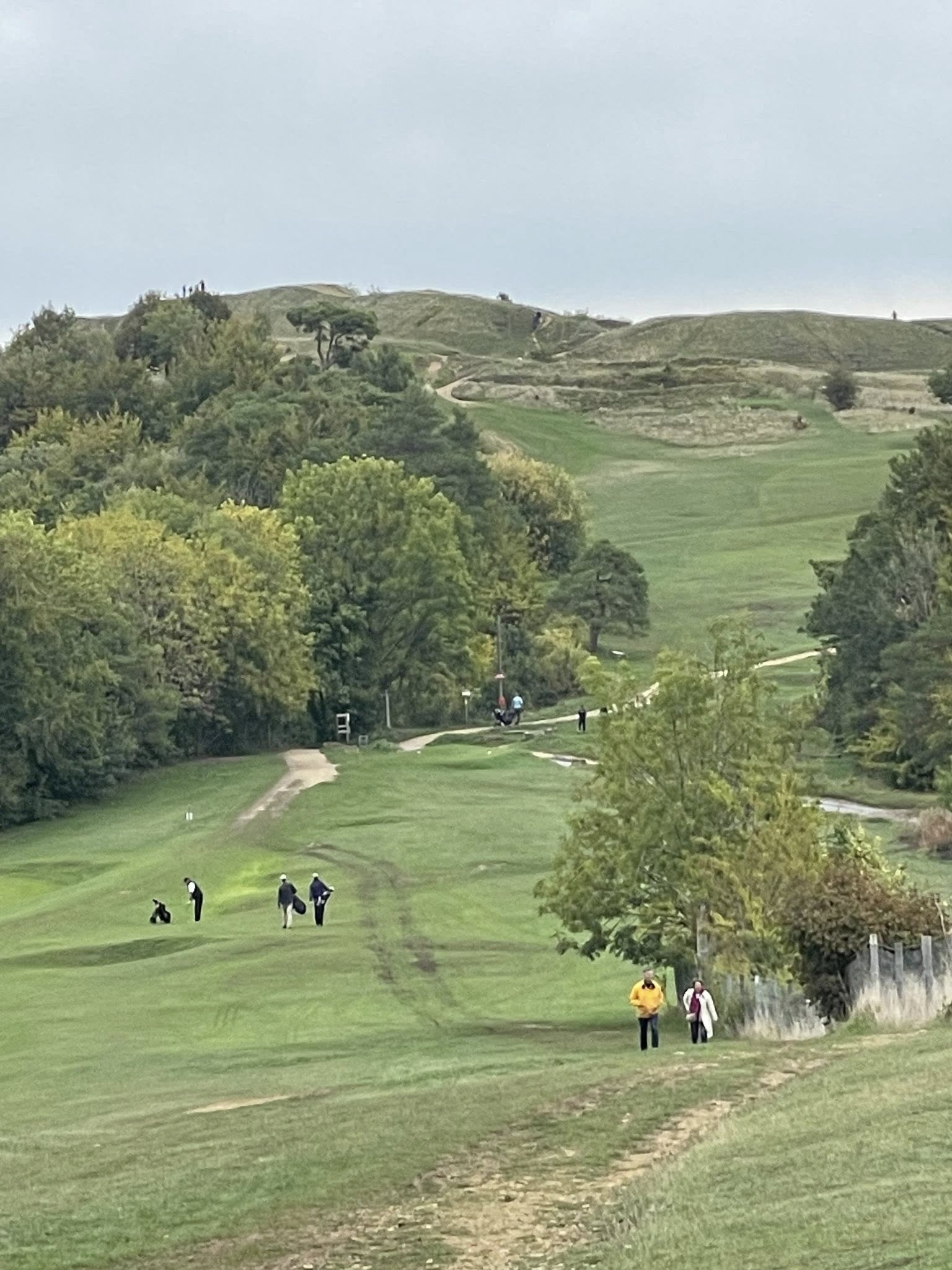
Our final Cotswolds walk took us through a golf course that was once an Iron Age hillfort (dating back to 500 BC). Ditches and ramparts were dug to defend the settlement. Some wise people decided to put a golf course on this old fort in 1891 and it’s attracted golfers seeking something different ever since. Reputed to be one of the best short courses in the world, it has a pretty challenging terrain.
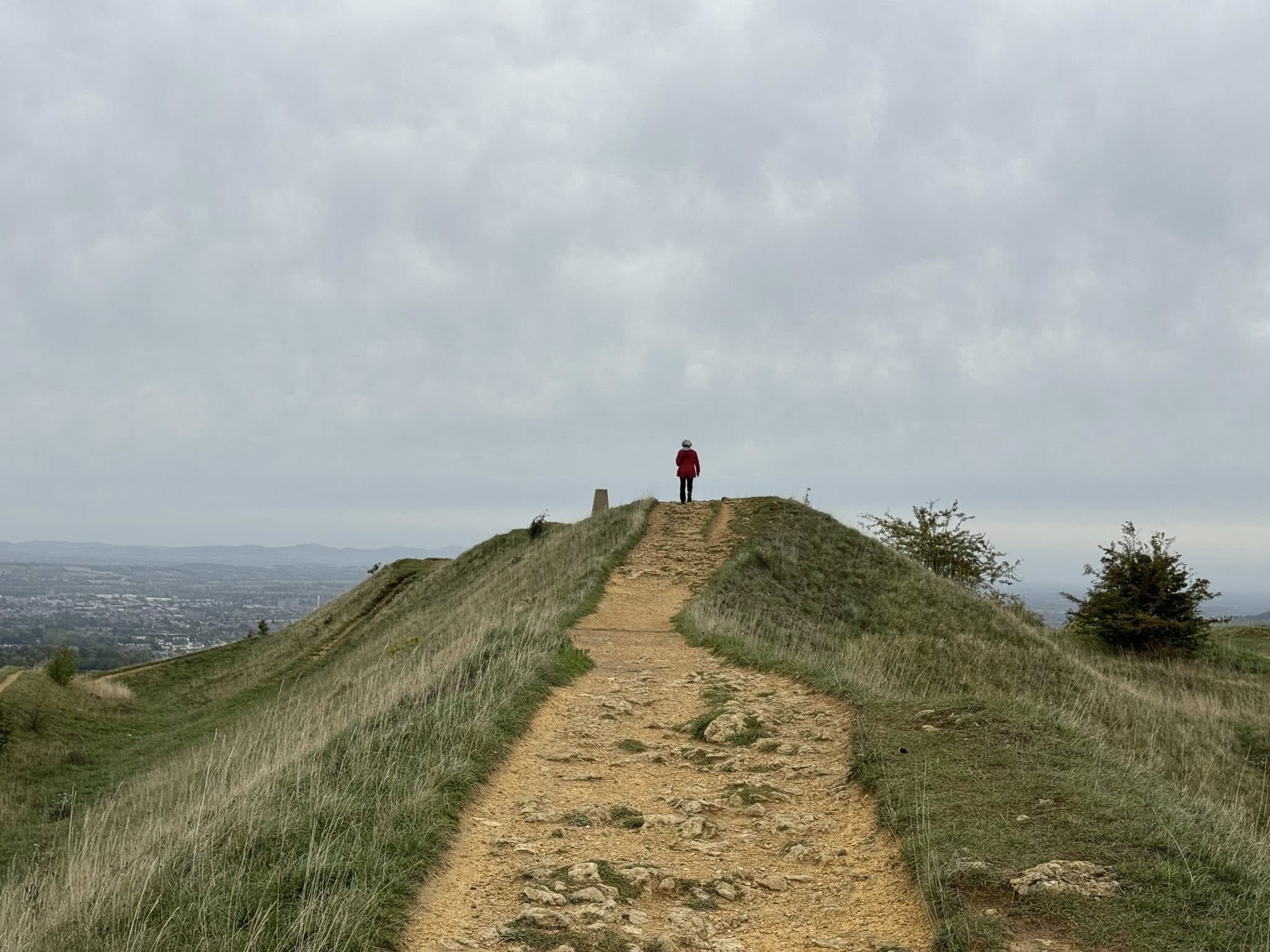
The last little climb to the top of the Beacon!
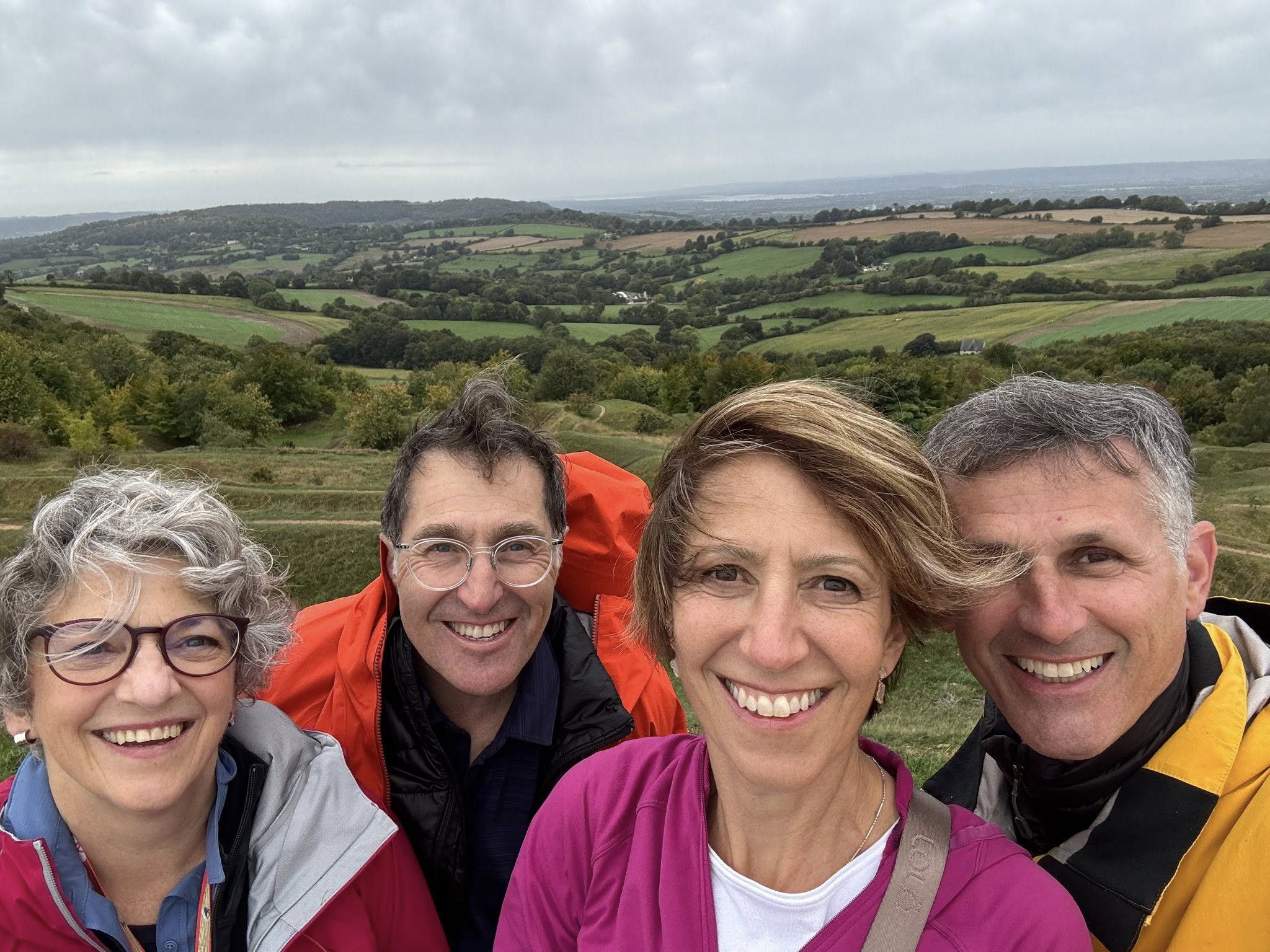
At nearly 300 metres elevation, the 360 views were stunning…and windy!
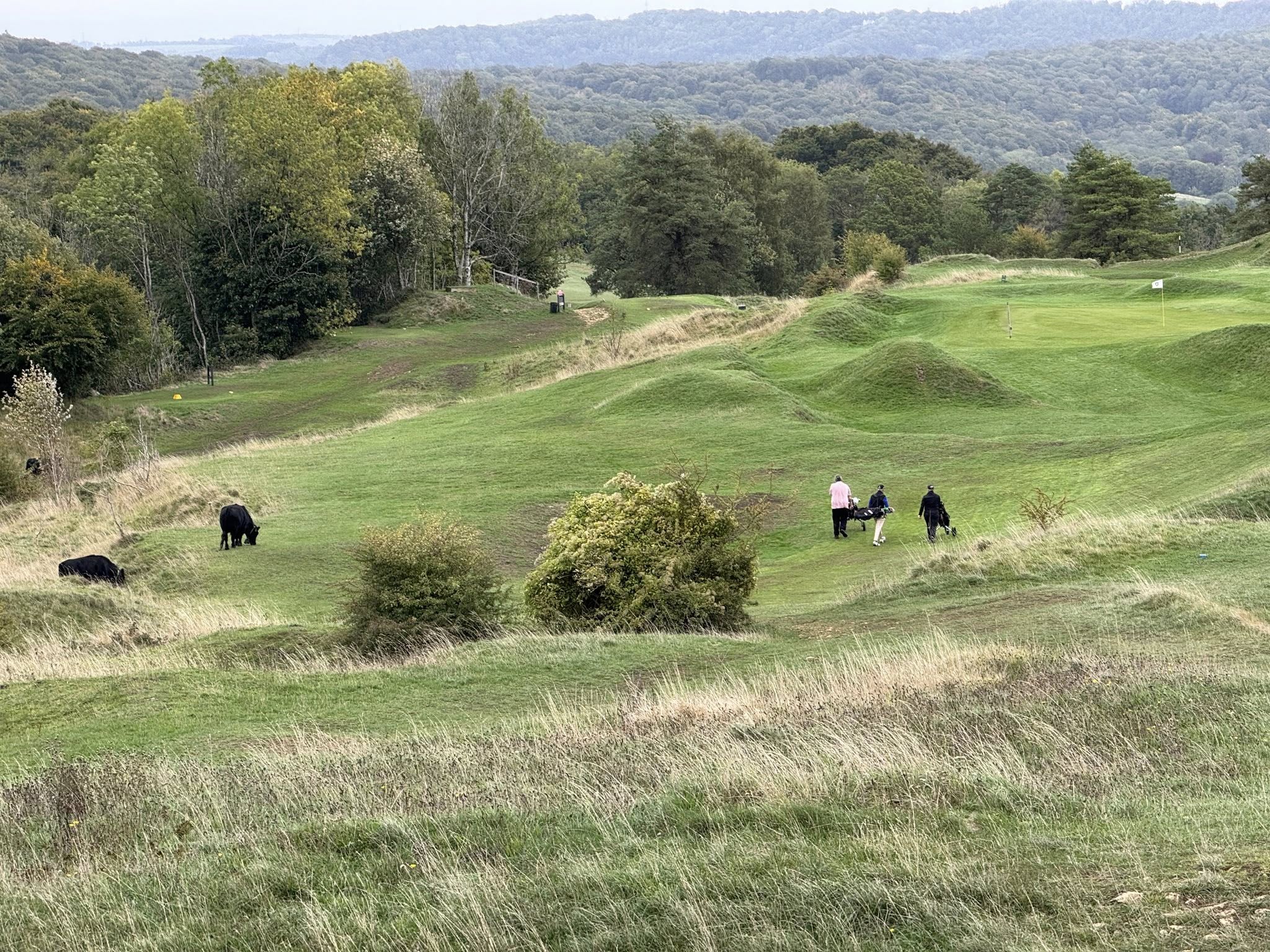
These golfers made it to the 6th hole (affectionately called the Throne) at the 300m top and had to contend with cows grazing on the course!